Mountain hikes Walter Mair Trail Lienzer Talboden - Stage 1

Lienz / Gailtal Alps
Difficulty ratings: easy
Route length: 14.3 km
Duration: 5:00 h

Tour information

  • Requirement: easy
  • Length: 14.3 km
  • Duration: 5:00 h
  • Elevation uphill:504 hm
  • Elevation downhill:513 hm
Highest point1,046 m

Starting point

Talstation Hochsteinbahn

Finishing point

Talstation Hochsteinbahn
  • Fitness level 3 / 6
  • Technique 2 / 6

Features

  • Circular route

Best time of year

  • January
  • February
  • March
  • April
  • May
  • June
  • July
  • August
  • September
  • October
  • November
  • December

Trail condition

Asphalt, Forstweg, Waldweg, Steig, Schotter

Equipment

Basic equipmentformountainhikingincludessturdy hiking bootswith a goodtread, a 30-35 literbackpack, and functionalclothingbased on thelayeringprinciple, includingsufficient spare clothes. Essential itemsare rain, cold, and sunprotection, adequatefluids and food, aswellas a first-aid kit and a charged mobile phone. A mapor a GPS devicesupportsorientation. 

The informationservesas a guideline and does not claimtobe exhaustive. Equipment mustalwaysbeadaptedtothe planned route, weatherconditions, season, naturalhazards, environmental influences, and personal needs. 

Source: TVB Osttirol

Description

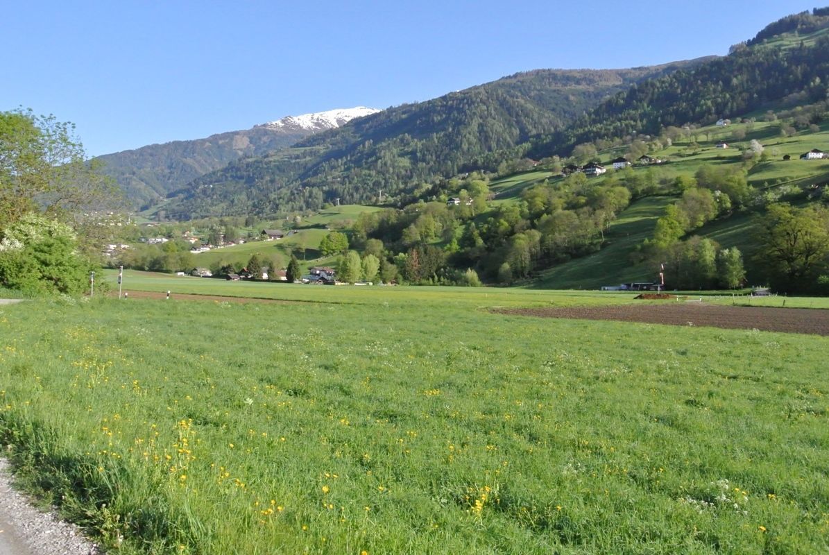
The nature trail from Castle Bruck to Leisach offers insights into the biodiversity of the local forest. Furthermore, you pass the natural monument "Old Lake", then climb up to Kreithof and finish the first stage on historical sites at Lavanter Kirchbichl.

Weather

Today

mainly clear
9°C/0°C
40%0.4l5 km/h

Tue

partly Cloudy
9°C/3°C
35%0l0 km/h

Wed

partly Cloudy
10°C/3°C
20%0l0 km/h
Go to weather forecast

More tours in the surrounding area

  • Children's mile Golzentipp

    Difficulty:easy
    Length:3.7 kmDuration:2:00 hElevation uphill:140 m
  • Trail Virgentaler Sonnseitenweg

    Difficulty:medium
    Length:41.9 kmDuration:1 dayElevation uphill:2,641 m
  • Hiking tour to St. Pöltner Hütte and 3 lakes

    Difficulty:difficult
    Length:14.8 kmDuration:7:40 hElevation uphill:1,119 m
  • Lucknerhaus - Stüdlhütte

    Difficulty:medium
    Length:9.3 kmDuration:4:30 hElevation uphill:862 m
  • Hiking tour to Zupalsee Hütte 2.350m

    Difficulty:medium
    Length:14.9 kmDuration:8:30 hElevation uphill:1,261 m
  • The Höfe Trail

    Difficulty:easy
    Length:51.2 kmDuration:10:15 hElevation uphill:1,988 m
  • Hike to Kalser Tauernhaus

    Difficulty:medium
    Length:12.2 kmDuration:4:00 hElevation uphill:244 m
  • Hiking tour to Neue Sajathütte 2.600m

    Difficulty:medium
    Length:10.3 kmDuration:6:50 hElevation uphill:1,086 m
  • Herz-Ass Villgratental

    Difficulty:medium
    Length:75.6 kmDuration:34:00 hElevation uphill:5,703 m
  • Muhs panorama trail

    Difficulty:medium
    Length:15.2 kmDuration:6:00 hElevation uphill:1,090 m
  • Lasörling altitude trail

    Difficulty:medium
    Length:55.4 kmDuration:25:00 hElevation uphill:3,718 m
  • Figerhorn

    Difficulty:difficult
    Length:6.6 kmDuration:6:00 hElevation uphill:811 m
  • Theme path "Virgen crossroads"

    Difficulty:easy
    Length:3.2 kmDuration:1:00 hElevation uphill:104 m
  • Venediger altitude trail

    Difficulty:difficult
    Length:55.5 kmDuration:27:00 hElevation uphill:3,975 m
  • Lasörling 3.098m

    Difficulty:difficult
    Length:22.0 kmDuration:12:00 hElevation uphill:1,940 m
  • Circular walk church St. Nikolaus

    Difficulty:easy
    Length:5.4 kmDuration:1:39 hElevation uphill:150 m
Newsletter

The mountain is calling? So does our newsletter!

In our monthly newsletter we reveal the best holiday tips for Tyrol.
