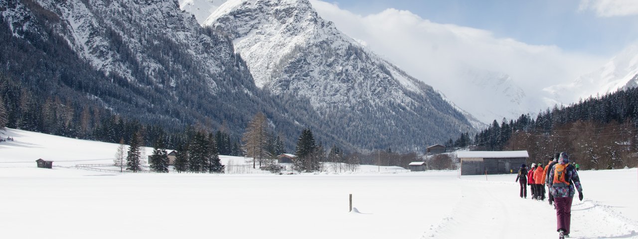
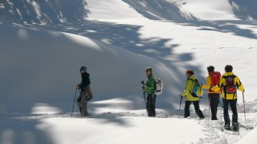
Why head for the heights when when there is so much to see down in the valley? This charming hike starts in the village of Trins and leads to the end of the Gschnitztal Valley. Most of the hike runs parallel to the rushing Gschnitzbach river and the cross-country skiing trails popular with locals and visitors in winter. The hike ends at the Gasthof Feuerstein, set against the backdrop of the impressive Tribulaun Massif. The "Pumafalle" is another hut serving food and drink, around halfway between the start and end of the hike.


Winter hike
Starting point
Trins
Hike to
Gasthof Alpenrose
Finishing point
Gschnitz
Mountain chain
Stubai Alps
Length
6.3 km
Total hiking time
2h
Features
- Circular hike
Difficulty rating
easy
Altitude
Elevation uphill 95m
Vertical metres downhill 50m
Fitness level
Best time of year
* These are approximate values and recommendations. Please take your personal fitness level, technical ability and the current weather conditions into account. Tirol Werbung cannot guarantee that the information provided is correct and accepts no liability.
Parking
Car park at ski lift in Trins or football pitch in Trins (both car parks are pay-and-display)
Downloads
Trail description
The hike starts at the car park next to the ski lift in Trins or slightly further into the valley at the car park next to the football pitch. The trail itself runs along the flat valley floor, often next to the Gschnitzbach river. After around an hour you will reach the "Pumafalle" guesthouse serving food and drink. From there the trail rises gently into a small forest before crossing over onto the other side of the river near the start of the village of Gschnitz. The final section is more or less flat and takes around 30 minutes to complete. The trail ends at the Gasthof Alpenrose. Hikers can, if they wish, continue further into the valley along the narrow tarmac road. There is a ski bus stop at the Gasthof Alpenrose. Visitors with a guestcard can use this to take the bus back to Trins free of charge.


