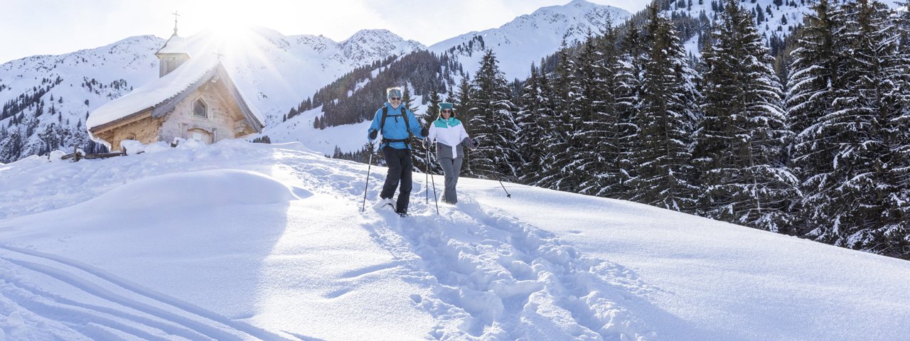
This easy and peaceful walk leads through the Wildschönauer Hochtal, a valley to the south of the village of Auffach. The trails are kept in excellent condition throughout the winter, making the walk also suitable for children and older guests. The route begins at the Gasthof Schönangeralm and leads along the banks of a stream, past the Zirbenkapelle chapel and a number of abandoned mountain huts. To the south-west stands the mighty Großer Beil (2,309 metres), the highest mountain in the valley.

Winter Walk
Starting point
Schönanger car park
Finishing point
Schönanger car park
Mountain chain
Kitzbühel Alps
Length
6.6 km
Total hiking time
1 h 45 min
Features
- Circular hike
Difficulty rating
easy
Altitude
Elevation uphill 140m
Vertical metres downhill 140m
Fitness level
Technique
Best time of year
* These are approximate values and recommendations. Please take your personal fitness level, technical ability and the current weather conditions into account. Tirol Werbung cannot guarantee that the information provided is correct and accepts no liability.
Public transport
- Accessible using public transport
Shuttle service every Thursday from Mühltal via Auffach to Schönangeralm; return journey at 14:30.
Parking
Schönanger car park
Places serving food & drink
- Alpengasthaus Schönangeralm
Downloads
Trail description
Leaving from the car park at the Schönangeralm, this winter walk heads south into the Wildschönauer Hochtal valley. The trails are well-maintained. After a few kilomtres you will cross over the stream and head back out of the valley on the other side. The trail meets a road. At the lower car park, change direction and head back along the stream to the starting point.


