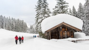
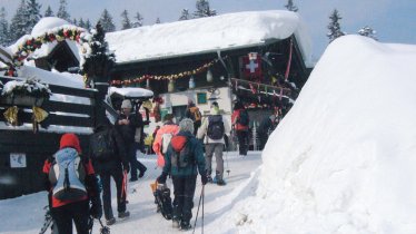
This easy snowshoe hike leads through a diverse landscape at the base of the Hohe Munde Mountain up to Rauth Hut, which is situated on a beautiful upland plateau overlooking the Inntal Valley. During cold periods there is a small igloo village next to the cabin, which itself is a popular meeting point for snow trekkers and ski touring enthusiasts thanks to its fabulous views of Leutasch Valley, mighty Wetterstein Range and jagged Karwendel Mountains. The descent initially follows the sledding track before branching off into fabulous snowshoe terrain.


Snowshoe
Starting point
Buchen, Car Park at the Base of former Munde Lift (elev. 1,170m)
Finishing point
Buchen, Car Park at the Base of former Munde Lift (elev. 1,170m)
Mountain chain
Wetterstein Mountains
Length
8.6 km
Total hiking time
3 h 15 min
Features
- Circular hike
Difficulty rating
medium
Altitude
Elevation uphill 480m
Vertical metres downhill 480m
Parking
Car Park at the Base of former Munde Lift in Buchen
Downloads
Trail description
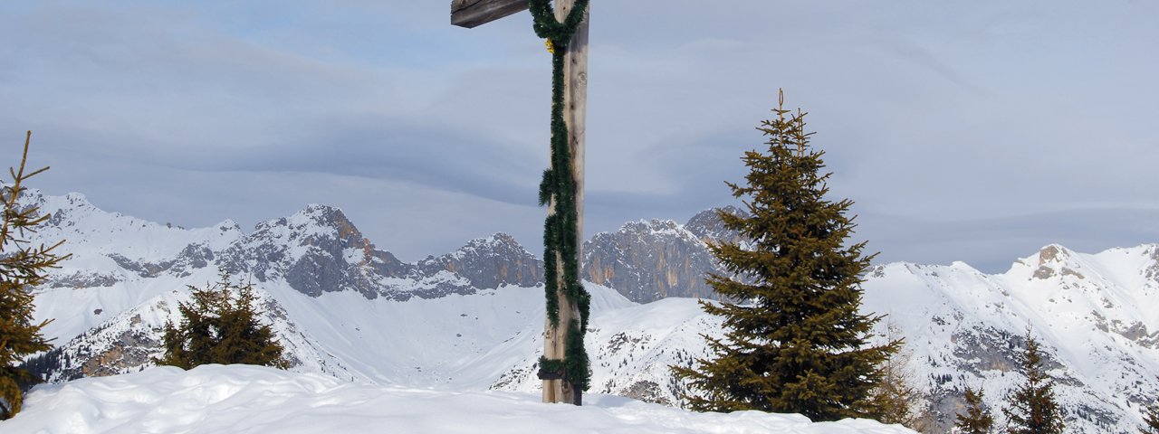
Starting at the car park (parking fee applies), the route first leads back along the road as far as the signpost. From there it then heads south through open meadows up to a corridor cutting straight through the forest (electricity lines). The terrain in this corridor is undulating, with a few sections of flat meadowland. On several occasions the route traverses cross-country skiing trails before finally exiting the forest (signposted) and following a wide trail, sections of which run parallel to the cross-country ski track or hiking trail, as far as Katzenloch (signposted). Here, hikers head north along a hiking trail normally used in summer which winds its way up to an elevation of 1,550 metres. The next section is once again undulating before it reaches a transmission mast, where the final ascent to the Rauth Hut begins (elev. 1,605m). There is a large cross on the plateau, set a short distance apart from the hut itself.
Hikers should descend along the sledding run in order to avoid conflicts with ski tourers on the ski run. At around 1,300m altitude there is the option of following the trail running parallel to the sledding run down as far as the Bichlwald forest (elev. 1,230m; ideal terrain for snowshoe hiking). This trail then leads eastwards to Taxach (signposted) and then through a forest southwards to Moos, past the chapel and back along the road.
Good to know: Guests who purchase food or drink in the Rauth Hut can have part of the parking fee deducted from their bill at the hut.
Please Note: Be prepared to adjust your activity based on current conditions. As a general rule, if there is fresh snow, conditions may be better suited for snowshoeing; if the snow is old and well-travelled, it may be better for winter walking. For avalanche conditions visit lawine.tirol.gv.at.


