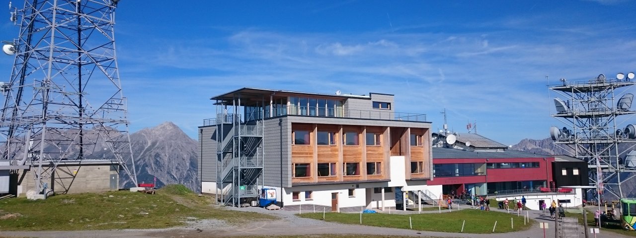
The Venet Gipfelhütte (2,193 metres) is a cosy mountain refuge popular with daytrippers located on the main mountain above Zams in the Ötztal Alps.
Cosy accommodation with wonderful views
Austrian Alpine Club partner hut
The Venet Gipfelhütte is a little different from "normal" mountain huts – in several ways. It has a modern design and state-of-the-art facilities, including wireless internet and even a spa. The box-like construction offers wonderful views of the surrounding mountains from the breakfast room and the spacious bedrooms. In the summer months there are plenty of walking and hiking trails leading up onto the Venet, the main mountain above Zams. The hut is also a stop on the E5 long-distance hiking trail. In winter, the hut is located next to the pistes and is also popular with snowshoe walkers. The hut can be accessed using the Venet Bergbahn cable car or on foot.
How to get to the hut
From Zams in 5 hours or using the Venet Bergbahn cable car in 15 minutes
Walks and hikes in the area (walking time to summit)
Glanderspitze (2,505 metres), 1.5 hours, intermediate
Wannejöchl (2,495 metres), 2 hours, intermediate
Zammer Alm hut with adventure playground (1,760 metres), 1.25 hours, intermediate
Gogles Alm (2,000 metres), 1.5 hours, intermediate
Further huts in the area, long-distance hiking trails
Memminger Hütte, 12 hours
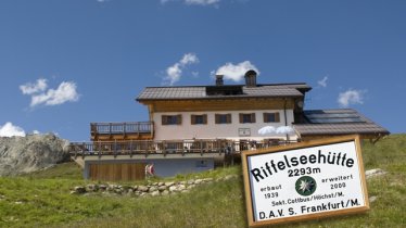
Riffelseehütte, 14 hours
The Venet Gipfelhütte is located on the E5 long-distance hiking trail.
Cosy accommodation with wonderful views Austrian Alpine Club partner hut The Venet Gipfelhütte is a little different from "normal"…


