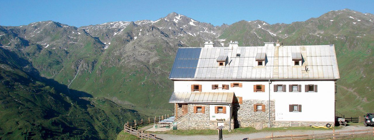
The Rastkogelhütte (2,124 metres) is a mountain refuge in the heart of the Tux Alps popular with hikers in summer and ski touring enthusiasts in winter.
Mountain refuge high above the Zillertal Valley
German Alpine Club, Oberkochen Division
Lush alpine meadows, craggy mountain ridges and, in the middle of it all, a traditional hut. The Rastkogelhütte below the Sidanjoch ridge is a charming refuge combining cosy accommodation, fine food and a warm welcome. It is a good base for walks and hikes to some of the surrounding peaks, with most routes of intermediate difficulty. This makes the hut a good place for families with children as well. In summer the hut welcomes walkers and hikers, while in winter it is popular with skiers and snowshoers. Winter adventures stretch to the neighbouring ski resort of Hochfügen.
How to get to the Rastkogelhütte
From Hochfügen in 2.5 hours, from Mösl / Gasthof in 2.5 hours, from hut car park next to Zillertal High Road in 1 hour
Walks and hikes in the area (walking time to summit)
Rastkogel (2,762 metres), 3.5 hours, intermediate
Marchkopf (2,499 metres), 1.75 hours, intermediate
Kraxentrager (2,421 metres), 1 hour, intermediate
Kleiner Gilfert (2,388 metres), 3 hours, intermediate
Kreuzjoch (2,290 metres), 50 minutes, intermediate
Futher huts in the area, long-distance hiking trails
Kellerjochhütte, 3.5 hours
Weidener Hütte, 5 hours
The Rastkogelhütte is located on the Inn Valley High Trail (Stage 4/5), the Central Alpine Trail 02A and the Via Alpina (Red Route).
Mountain refuge high above the Zillertal Valley German Alpine Club, Oberkochen Division Lush alpine meadows, craggy mountain ridges and, in the…


