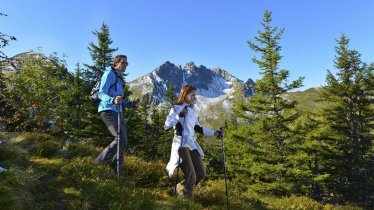
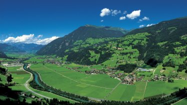
The Plauener Hütte (2,363 metres) is a mountain refuge in the eastern Zillertal Alps located between 3,000-metre peaks and a mighty mountain reservoir.
Mountain refuge high above the Zillergund reservoir
German Alpine Club, Plauen-Vogtland Division
Water, water everywhere! A mighty mountain reservoir, a rushing stream and a glistening glacier on the horizon make for a spectacular backdrop to the Plauener Hütte liegt, a mountain refuge in the eastern Zillertal Alpen. Perched on a high plateau, surrounded by 3,000-metre-high peaks, this hut is an excellent base for walkers, hikers, mountaineers and climbers. The food is healthy and hearty. Walks and hikes range from the easy Rainbachköpfl to more challenging adventures, including glacier crossings. Some of the paths in the area were used in decades and centuries past to smuggle contraband between North Tirol (Austria) and South Tirol (Italy). The hut is open from mid-June until the end of September.
How to get to the Plauener Hütte
From Mayrhofen in 8 hours, from Gasthof Bärenbad in 2.5 hours, from Zillergrund reservoir in 1.5 hours
Walks and hikes in the area (walking time to summit)
Rainbachköpfl (2,690 metres), 1 hour, intermediate
Richterspitze (3,052 metres), 2.5 hours, difficult (via ferrata climbing route rated B/C - intermediate)
Zillerplattenspitze (3,148 metres), 3.5 hours, intermediate
Kuchlmooskopf (3,214 metres), 3.5 hours, difficult (glacier equipment required)
Reichenspitze (3,303 metres), 3.5 hours, difficult (glacier equipment required)
Further huts in the area, long-distance hiking trails
Richterhütte (approach includes via ferrata climbing route), 3.5 hours
Krimmler Tauernhaus, 7.5 hours
Birnlückenhütte, 8 hours
The Plauener Hütte is located on the Central Alps Hiking Trail; via Mayrhofen/Karl-von-Edel-Hütte it is possible to reach the Berlin High Trail.
Mountain refuge high above the Zillergund reservoir German Alpine Club, Plauen-Vogtland Division Water, water everywhere! A mighty mountain…


