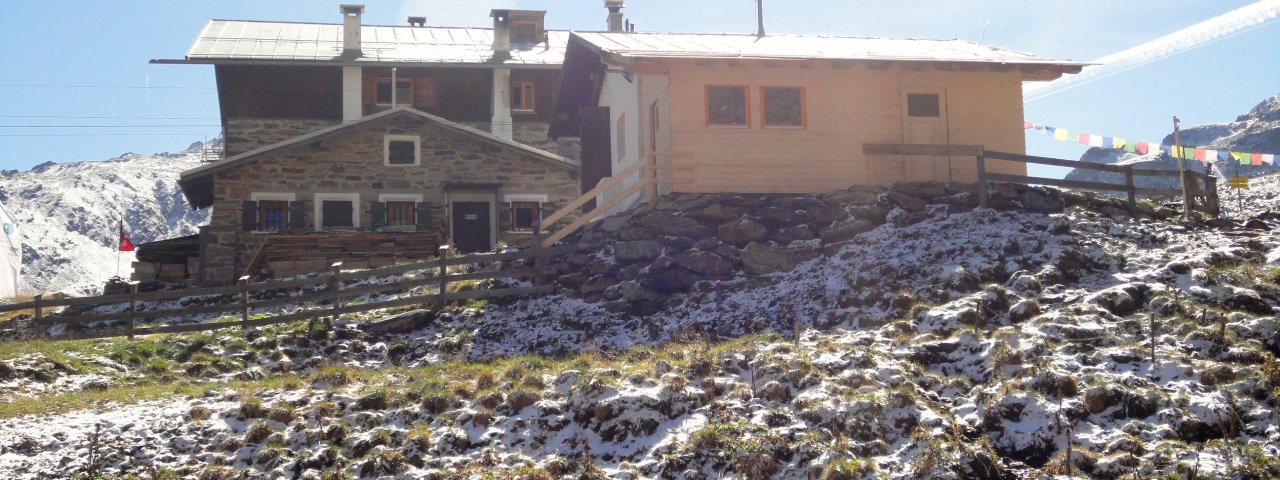
The Pforzheimerhütte (2,308 metres) is a mountain refuge in the Stubai Alps located on the Sellrain Hut Hike and surrounded by 3,000-metre-high peaks.
Cosy hut for hikers and skiers above the Gleirschtal Valley
German Alpine Club, Pforzheim Division
Lush valleys, craggy mountains and patches of snow well into summer make the landscape around the Pforzheimer Hütte a spectacular backdrop at the end of the Gleirschtal Valley. This cosy hut in the Stubai Alps welcomes hikers and mountaineers in summer, while in winter it is a popular stop for skiers and snowboarders. In summer it gives easy access to three valleys: Ötztal, Sellraintal and Stubaital. The food is hearty and made using regional produce. The hut sleeps up to 60 guests.
How to get to the Pforzheimerhütte
From St. Sigmund im Sellrain in 2.5 hours
Walks and hikes in the area (walking time to summit)
Lampsenspitze (2,875 metres), 3 hours, intermediate
Haidenspitze (2,975 metres), 3 hours, intermediate
Roßkarscharte (3,045 metres), 4 hours, difficult
Zischgeles (3,005 metres), 3.5 hours, intermediate
Zwieselbacher Rosskogel (3,081 metres), 3 hours, difficult
Further huts in the area, long-distance hiking trails
Schweinfurter Hütte, 4 hours
Westfalenhaus, 5 hours
Winnebachseehütte, 6 hours
The Pforzheimer Hütte is located on the Sellrain Hut Hike (Stage 3/4) .
Cosy hut for hikers and skiers above the Gleirschtal Valley German Alpine Club, Pforzheim Division Lush valleys, craggy mountains and patches of snow…


