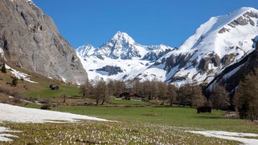
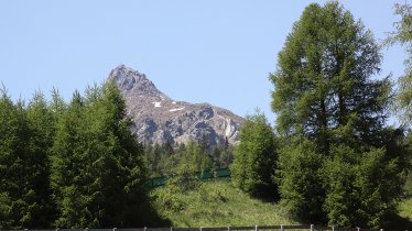
The Obstansersee Hütte (2,300 metres) is located on the main ridge of the Carnic Alps in East Tirol. It is run by the Austrian Alpine Association. The hut lies above the lake of the same name, just a few hundred metres north of the Austrian-Italian border and the neighbouring Italian province of Belluno.
Popular mountain hut on the Carnic High Trail
Austrian Alpine Association, Austria Division
The Ostansersee Hütte has a long and rich history. During the First World War it was just a few hundred metres from the battlefront running along the main ridge of the Carnic Alps, between Austria-Hungary and Italy. The trail leading from the valley up to the hut was used to supply Austrian troops stationed on the front. Around 20 minutes from the hut there is a military cemetery, a poignant reminder of those who lost their lives in the Great War. Today the Obstansersee Hütte is a popular stop-off for hikers taking on the Carnic High Trail, but it is also a good destination for a family-friendly day hike. Activities include exploring the nearby Obstansersee lake using a pedalo. A number of hiking trails lead from the hut up even higher into the mountains including the Roßkopf, Pfannspitze and Tscharrknollen.
Ascent to the Obstansersee Hütte
Leaving from the village of Kartitsch, walkers ascend through the Winklertal Valley up to the hut (around 3 hours). There is the option of taking a "hut taxi" all the way to the end of the Winklertal Valley.
Popular mountain hut on the Carnic High Trail Austrian Alpine Association, Austria Division The Ostansersee Hütte has a long and rich history…


