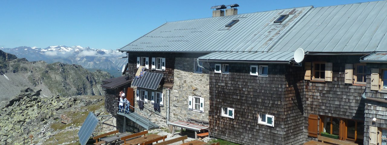
The Landshuter Europa-Hütte (2,693 metres) in the Zillertal Alps is a mountain refuge rich in history and a fine base camp for walks and hikes in the surrounding mountains.
Mountain hut on the border between North Tirol (Austria) and South Tirol (Italy)
German Alpine Club / Italian Alpine Club, Landshut / Sterzing Division
The Landshuter Europa-Hütte is a truly international hut high in the mountains. It lies directly on the border between North Tirol (Austria) and South Tirol (Italy), known in Italian as Alto Adige. The Austrian-Italian border runs directly through the dining room! The "Landshuter Höhenweg" trail leads up over the Tuxer Kamm ridge and gives access to many eye-catching peaks, though walkers and hikers will need good fitness and alpine experience. The hut sleeps 65 people, mainly in dormitory-style rooms with matresses next to each other. It is run by the Landshut Division of the German Alpine Club and the Sterzing Division of the Italian Alpine Club. That explains why four flags can be seen in front of the hut: Tirol, Bavaria, Italy and Europe.
How to get to the Landshuter-Europa Hütte
From Schlegeisspeicher in 3.5 hours, from Brennersee in 4.5 hours, from Valsertal in 5.5 hours, from Pfitscher Joch in 2.5 hours, from St. Jakob/Pfitschtal in 3 hours
Walks and hikes in the area (walking time to summit)
Kraxentrager (2,998 metres), 1.25 hours, difficult
Wildseespitze (2,733 metres), 45 minutes, intermediate
Wolfendorn (2,774 metres), 2.5 hours, intermediate
Further huts in the area, long-distance hiking trails
Furtschlaglhaus, 5.75 hours
Olpererhütte, 5.5 hours
Enzianhütte, 5.5 hours
Pfitscherjochhaus, 2.25 hours
Hochfeilerhütte, 6 hours
The Landshuter Europa-Hütte is located on the Peter Habeler Hike (Stage 6/7) and the Tirol High Trail.
Mountain hut on the border between North Tirol (Austria) and South Tirol (Italy) German Alpine Club / Italian Alpine Club, Landshut / Sterzing…


