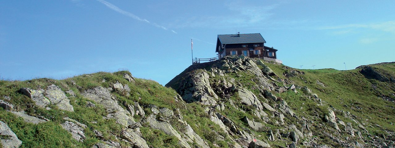
The Kellerjochhütte (2,237 metres) is a popular mountain hut belonging to the Austrian Alpine Club at the Kellerjoch peak in the Tux Alps, Tirol.
Popular mountain hut with 360-degree views
Austrian Alpine Club, Schwaz Division
Schwaz’s local mountain, the Kellerjoch, is nestled between the peaks of Kreuzjoch and Arbeserkogel. The Kellerjochhütte hut stands on a natural observation platform where visitors can enjoy 360-degree views, high above the Inn Valley. On a clear day you can see the Kitzbühel, Zillertal and Stubai Alps as well as the Karwendel Mountains; even the Großvenediger is visible. The hut itself is welcoming and a popular meeting place. People often sing and make music in the two dining lounges. Water for the Kellerjochhütte is provided by a hydraulic ram – which is not a water-spewing male mountain sheep, but instead a water-powered pump. A trail partially secured with steel cable leads from the Kellerjochhütte to the Kreuzjoch, where there is a mountain chapel. The walk there takes 15-20 minutes.
How to get to the Kellerjochhütte
From the top station of the Kellerjochbahn lifts (1 hour); ascent direct from Schwaz (4 hours); from Hochfügen from the top station of the Spieljochbahn lifts (2 hours); from the Loassattels Valley to the south of the Kellerjoch (1.5 hours).
Walks and hikes in the area (walking time to summit)
Kreuzjoch/Kapelle (2,344 metres), 30 minutes, intermediate
Gilfert (2,506 metres), 4.75 hours, intermediate
Kuhmöser (2,264 metres), 40 minutes, intermediate
Further huts in the area, long-distance hiking trails
Rastkogelhütte, 5 hours
The Kellerjochhütte is located on the Inn Valley High Trail (Stage 5/6).
Popular mountain hut with 360-degree views Austrian Alpine Club, Schwaz Division Schwaz’s local mountain, the Kellerjoch, is nestled between…


