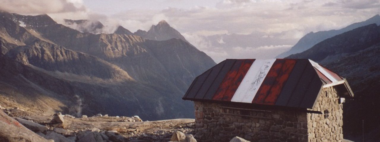
The Karl-Fürst-Hütte (2,629 metres) in the Granatspitz Mountains is a self-catering emergency shelter in challenging terrain.
Emergency shelter in the nothern section of the Hohe Tauern Mountains
Austrian Alpine Club, St. Pölten Division
Enjoying a lonely location in alpine terrain high above the Landecktal Valley, this stone hut offers walkers and hikers the chance to take a break and cook themselves a meal protected from the elements. The Karl-Fürst-Hütte is nothing more than an emegency shelter in which those surprised by sudden bad weather or unable to reach another hut for whatever reason can stay the night. No food is served at the hut. It was originally built in 1937 as a stopping point on the long trek from the St. Pöltner Hütte to what is today the Alpinhotel Rudolfshütte. It is named after Professor Karl Fürst benannt, who was heavily involved in youth work at the St. Pölten Division of the Austrian Alpine Club and was tragically killed in a mugging in 1934. The hut sleeps up to 10 people and has a small cooking area. Water must be drawn from the nearby Schandlasee lake.
How to get to the hut
From Felbertauerntunnel Süd in 5.5 hours, from "Landecktal" bus stop in 5 hours
Walks and hikes in the area
Schandlasee (2,400 metres), 45 minutes, intermediate
Granatspitze (3,086 metres), 2 hours, difficult
Stubacher Sonnblick (3,086 metres), 1.75 hours, difficult
Amertaler Höhe (2,841 metres), 1.5 hours, difficult
Further huts in the area, long-distance hiking trails
Berghotel Rudolfshütte, 3.75 hours
St. Pöltner Hütte, 7 hours
Alte Prager Hütte, 6 hours
Matreier Tauernhaus, 5.75 hours
The Karl-Fürst-Hütte is on the Venice High Trail and the Austria Skyline Trail Osttirol 360°
Emergency shelter in the nothern section of the Hohe Tauern Mountains Austrian Alpine Club, St. Pölten Division Enjoying a lonely location in…


