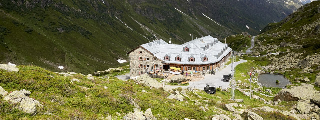
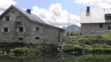
The Jamtalhütte (2,165 metres) is German Alpine Club mountain refuge and modern training and conference centre in the Silvretta Mountains, Tirol.
Multi-purpose hut in the heart of the Silvretta Mountains
German Alpine Club, Schwaben Division
Surrounded by majestic peaks over 3,000 metres high, the Jamtalhütte is an important refuge for walkers and hikers in the Silvrette Mountains. It was created back in 1882 and became increasingly popular from the 1920s onwards with the advent of winter tourism in the region. Today it remains popular with many different kinds of visitors, from families with children to ambitious mountaineers keen to explore the nearby glaciers (mountain guide recommended). The Jamtalhütte is one of the largest refuges of its kind in the Alps with a capacity of 180 beds. The hut, which is today run by the fourth generation of the Lorenz family, also has conference and seminar facilities available to hire.
How to get to the Jamtalhütte
From Galtür in 3 hours, from Ardez via Futschölpass in 6 hours, from Bielerhöhe via Getschnerscharte in 4.5 hours, from Guarda via Jamjoch in 6 hours
Walks and hikes in the area (walking time to summit)
Nördliche Augstenspitze (3,228 metres), 4 hours, difficult (glacier terrain)
Vordere Jamspitze (3,178 metres), 3 hours, difficult (glacier terrain)
Fluchthorn (3,399 metres), 5.5 hours, difficult (sections of climbing rated II-III) closed due to rockfall!
Dreiländerspitze (3,197 metres), 4 hours, difficult (glacier crossing)
Westliches Gamshorn (2,987 metres), 2.5 hours, intermediate
Further huts in the area, long-distance hiking trails
Heidelberger Hütte, 4.5 hours
Madlenerhaus, 5.5 hours
Wiesbadener Hütte. 4.5 hours
Silvrettahütte, 6.5 hours
Tuoi Chamonna CAS, 4.25 hours
The Jamtalhütte is located on the Silvretta Hike (Stage 2/3).
Multi-purpose hut in the heart of the Silvretta Mountains German Alpine Club, Schwaben Division Surrounded by majestic peaks over 3,000 metres high,…


