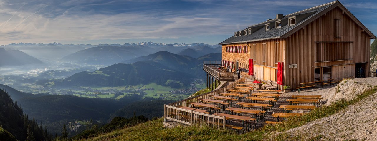
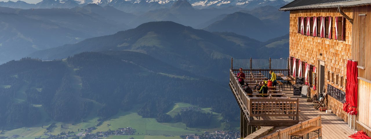
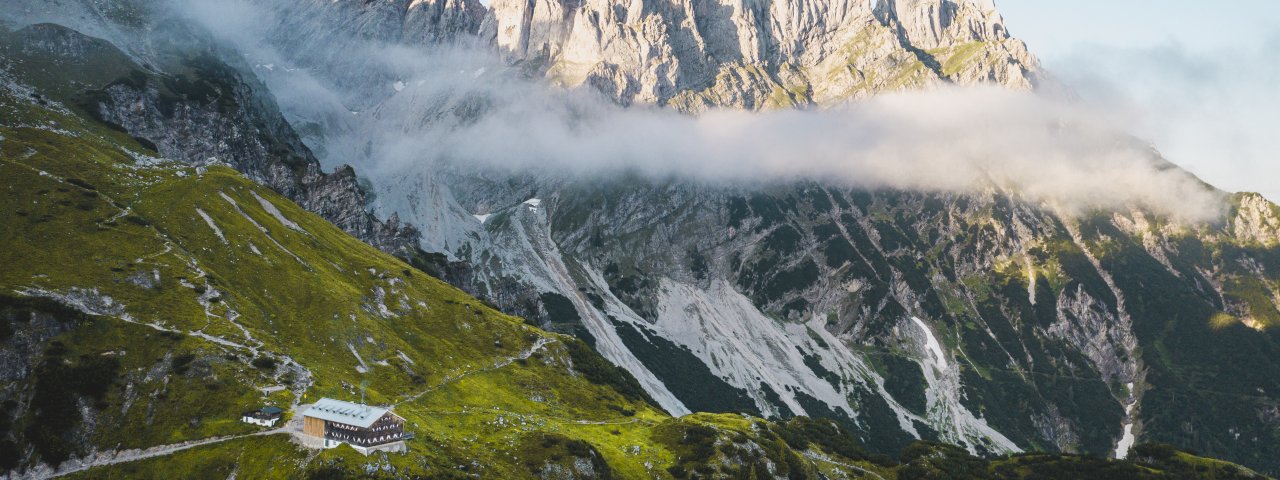
The Gruttenhütte (1,620 metres) is a popular mountain refuge and day trip destination in the Kaiser Mountains at the foot of the Ellmauer Halt, Tirol.
Popular mountain refuge below the Ellmauer Halt mountain
German Alpine Club, Turner-Alpen-Kränzchen Division
The sunny southern side of the Wilder Kaiser mountain was chosen by the Gruttenhütte hut as its location. Rather more, chosen by its creators from the "Turner-Alpen-Kränzchen" division. It is located at 1,620 metres above sea level, making it the highest mountain refuge hut in the Kaiser Region. It was opened in 1900 and inspired visitors back then with its comfort, spaciousness and magnificent views. On clear days you can even see as far as the Großvenediger, one of Austria's highest peaks. The hut has been extended many times, including the addition of a separate bunkhouse, and now forms an impressive ensemble of buildings. The Klamml via ferrata lies between the Gruttenhütte and the Gaudeamushütte. The Jubiläumssteig (Jubilee Climb) through Wildes Gschloß is also accessible from here. This climbing route was equipped with fixed climbing aids by the former owner of the Gruttenhütte, Hans Eisenmann.
How to get to the Gruttenhütte
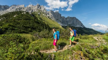
From Wochenbrunner Alm take the signposted Hüttenweg trail (1.5 hours); from Ellmau or Scheffau via the Riedlhütte and the track to the hut (2.5 hours); from Going via the Gaudeamushütte and Klamml (3 hours).
Walks and hikes in the area (walking time to summit)
Ellmauer Halt (2,344 metres), 2.5 hours, difficult
Hintere Goinger Halt (2,195 metres), 2.75 hours, intermediate
Treffauer (2,305 metres), 4 hours, difficult
Tuxeck (2,226 metres), 4.25 hours, difficult
Hintere Karlspitze (2,282 metres), 3 hours, difficult
Further huts in the area, long-distance walking trail
Gaudeamushütte, 1 hours
Kaindlhütte, 5.5 hours
Stripsenjochjaus, 3.5 hours
Fritz-Pflaum-Hütte, 5 hours
Ackerlhütte, 3 Std.
Die Gruttenhütte befindet sich entlang der 2. Etappe des Adlerweges: Der Weiterwanderweg verläuft auf 33 Etappen durch ganz Tirol.
Popular mountain refuge below the Ellmauer Halt mountain German Alpine Club, Turner-Alpen-Kränzchen Division The sunny southern side of the…


