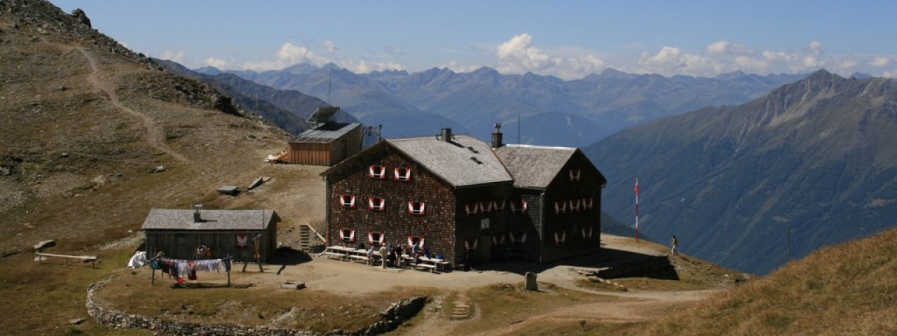
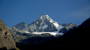
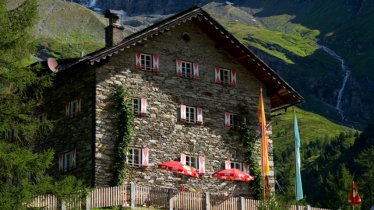
The Glorer Hütte (2,642 metres) is a German Alpine Club mountain refuge at the foot of the Grossglockner in the Hohe Tauern National Park, East Tirol.
Mountain refuge near the Grossglockner
German Alpine Club, Eichstätt Division
Acting on the initiative of famous mountaineer and pioneer Johann Stüdl, in 1887 three determined young men built a large mountain refuge hut at the foot of the Grossglockner: Veit Oberlohr, Paul Schnell and Thomas Huter. They all came from the Kalser district of Glor, from which the hut derives its name. It was briefly in the possession of Donauland Division of the German Alpine Club, after which it was passed on to the Eichstätt Division. Its location at Berger Törl, surrounded by mountain meadows, pine trees and magnificent mountains, could not be more beautiful. Nestled next to the Vienna High Trail, it serves as an important base for many walks, hikes and climbs in the Glockner and Schober Mountains and is at the heart of the interesting Geomorphologic Nature Trail. A brochure containing more information is available from the Kals Tourist Information offices or the National Park information point.
How to get to the Glorer Hütte
A trail leads from Lucknerhaus, which is accessible from Kals am Grossglockner via a toll road, to the hut (walking time: 2 hours).
Walks and hikes in the area (walking time to summit)
Medelspitze (2,668 metres), 30 minutes, intermediate
Kasteneck (2,824 metres), 1.25 hours, intermediate
Böses Weibl (3,121 metres), 4 hours, intermediate
Großglockner (3,798 metres), 8 hours, difficult
Further huts in the area, long-distace walking trails
Glocknerhaus, 5 hours
Salmhütte, 1.5 hours
Elberfelder Hütte, 4.75 hours
Lucknerhaus, 1.5 hours
Stüdlhütte, 2.5 hours
Gernot-Röhr-Biwak, 3 hours
The Glorer Hütte lies on the Vienna High Trail, the High & Holy trail and Stage 9 of the Eagle Walk, a long-distance hiking trail crossing Tirol in 33 stages.
Mountain refuge near the Grossglockner German Alpine Club, Eichstätt Division Acting on the initiative of famous mountaineer and pioneer Johann…


