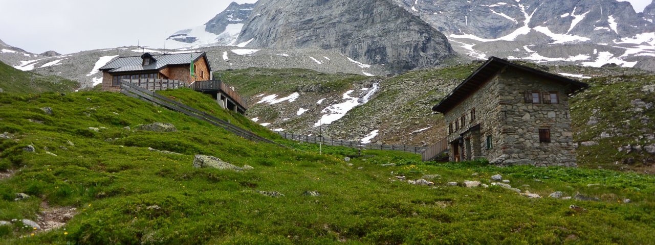
The Geraer Hütte (2,324 metres) at the end of the Valsertal Valley is a good base for walks and hikes in the area around the Main Tux Ridge in the Zillertal Alps.
Important stop on the Peter Habeler Route
German Alpine Club, Landshut Division
Craggy peaks giving way to lush meadows provide an impressive backdrop to the Geraer Hütte, a mountain refuge at the end of the Valsertal Valley. This hut is a popular starting point for walks and hikes in the rugged glacier terrain of the Main Tux Ridge. Some of the most famous mountains here are the mighty Olperer, Schrammacher and Fußstein, all of which can be reached on foot. The hut itself serves good food and offers a warm welcome. Another interesting place to visit is the Molybdänbergwerk, a former mining area just a short walk from the hut. The Geraer Hütte is open from mid-June until the end of September. It is accessible from the Schmirntal, Valsertal and Zillertal Valleys on foot.
How to get to the Geraer Hütte
From the Valsertal Valley/Gasthaus Touristenrast in 3 hours, from the Schmirntal Valley/Toldern in 4 hours, from the Zillertal Valley/Sommerbergalm Hintertux in 5.5 hours.
Walks and hikes in the area (walking time to summit)
Olperer (3,476 metres), 5 hours, difficult
Alpeiner Scharte (2,950 metres), 2.25 hours, intermediate
Fußstein (3,381 metres), 3.75 hours, difficult
Molybdän-Bergwerk (2,800 metres), 1.75 hours
Further huts in the area, long-distance hiking trails
Furtschlaglhaus, 7 hours
Olpererhütte, 5 hours
Dominikushütte, 5 hours
Tuxer-Joch-Haus, 6 hours
Landshuter-Europa-Hütte, 8 hours
The Geraer Hütte is on the Peter Habeler Route (Stage 1/2).
Important stop on the Peter Habeler Route German Alpine Club, Landshut Division Craggy peaks giving way to lush meadows provide an impressive…


