The Furtschlaglhaus (2,295 metres) in the heart of the Zillertal Alps is a mountain hut located on the Berlin High Trail.
Alpine hut between the Schlegeis reservior and 3,000m peaks
German Alpine Club, Berlin Division
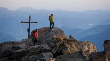
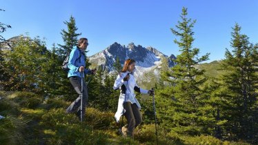
Water, ice and mighty rock formations dominate the landscape around the Furtschlaglhaus. This mountain hut above the Schlegeis reservoir is located on the Berlin High Trail and offers fine views of the surrounding mountains, including a number of 3,000m peaks suitable for ice climbing. The hut itself is relatively easy to reach and therefore suitable as a destination for families with children. There are also a number of easy walks near the hut. Ambitious mountaineers can take on the Großer Möseler, the second-highest mountain in the Zillertal Alps, but will require the support of a local mountain guide to do so. The hut serves excellent food in its cosy wood-panelled dining room.
How to get to the Furtschlaglhaus
From the Schlegeis reservoir in 2.5 hours.
Walks and hikes in the area (walking time to summit)
Großer Möseler (3,478 metres), 4.25 hours, difficult (glacier equipment required)
Furtschlaglspitze (3,188 metres), 3.5 hours,
Schönbichler Horn (3,134 metres), 3 hours, difficult
Hochfeiler (3,510 metres), 7.5 hours, difficult
(glacier equipment required)
Großer Greiner (3,201 metres), 3.5 hours, difficult
Further huts in the area, long-distance hiking trails
Berliner Hütte, 6.5 hours
Friesenberghaus, 4 hours
Olpererhütte, 4 hours
Dominikushütte, 2.25 hours
Alpenrose-Hütte, 6.25 hours
Chemnitzer Hütte (Rif. Porro), 5 hours
The Furtschlaglhaus is located on the Berlin High Trail (Stage 2/3).
Alpine hut between the Schlegeis reservior and 3,000m peaks German Alpine Club, Berlin Division Water, ice and mighty rock formations dominate the…


