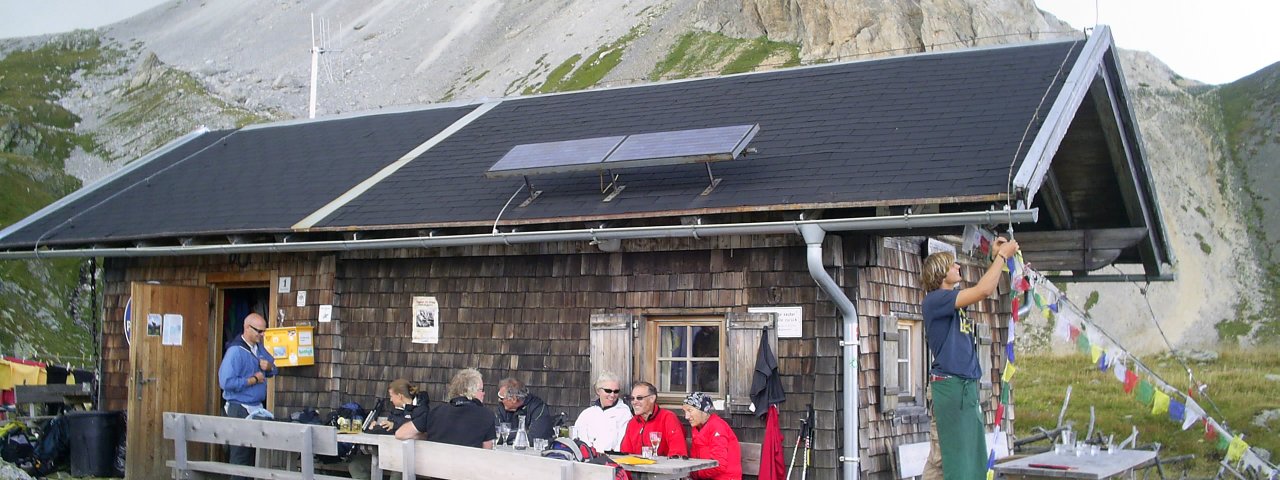
The Filmoor-Standschützenhütte (2,350 metres) is a small, traditional mountain hut on the Carnic Ridge in East Tirol.
Charming hut on the Carnic High Trail
Austrian Alpine Club, Austria Division
Like its neighbouring huts, the Filmoor-Standschutzenhütte offers walkers and hikers exploring the Carnic High Trail a hearty meal and a warm bed for the night. Here, on the border between East Tirol (Austria) and Alto Adige (Italy), the views of the Dolomites are truly breathtaking. The hut is an excellent starting point for adventures into the peaks above the Gailtal Valley. Opened in 1977, it welcomes visitors from June until October and enjoys a fabulous position to the east of a sheer rock wall known as the Königswand, just below the Filmoorsattel ridge. Among the most iconic and majestic mountains in the area is the Großer Kinigat.
How to get to the hut
From the Kartitscher Sattel ridge (4 hours), from Rauchenbach/Klammerwirt through the Erschbaumer Tal Valley (4.5 hours), from Leiten through the Leitner Tal Valley (4.5 hours).
Walks and hikes in the area (walking time to summit)
Filmoorhöhe (2,457 metres), 30 minutes, intermediate (alternative route using via ferrata climbing trail, difficult)
Große Kinigat (2,689 metres), 1.25 hours, intermediate (alternative: via ferrata climbing trail rated C, intermediate)
Oberer Stuckensee (2,032 metres), 50 minutes, intermediate
Further huts in the area, long-distance hiking trail
Porzehütte, 3 hours
Obstansersee-Hütte, 3 hours
Sillianer Hütte, 7 hours
The Filmoor-Standschützenhütte lies on the Carnic High Trail (Stage 2/3).
Charming hut on the Carnic High Trail Austrian Alpine Club, Austria Division Like its neighbouring huts, the Filmoor-Standschutzenhütte offers…


