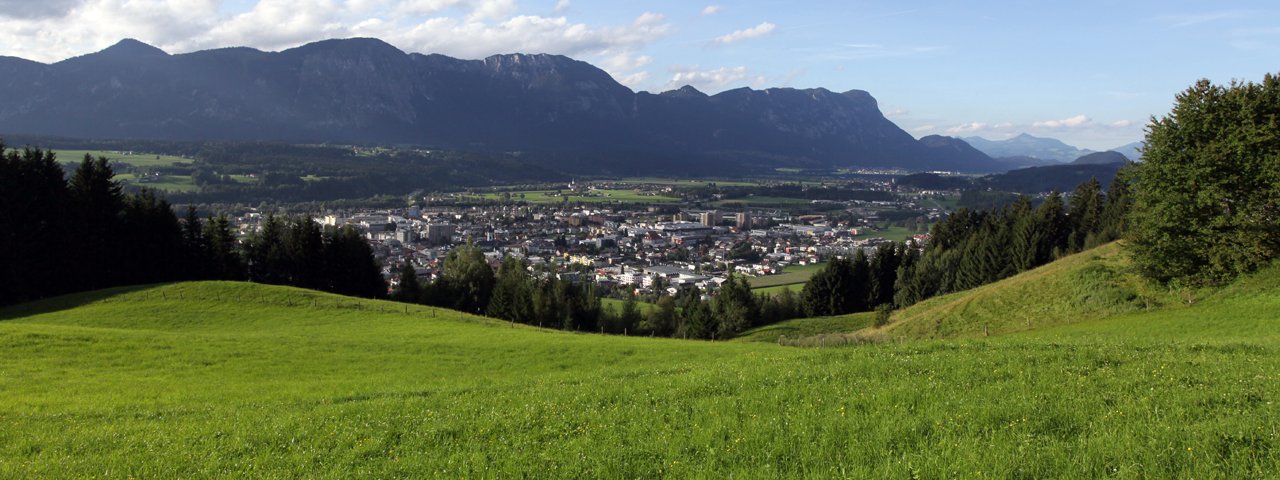
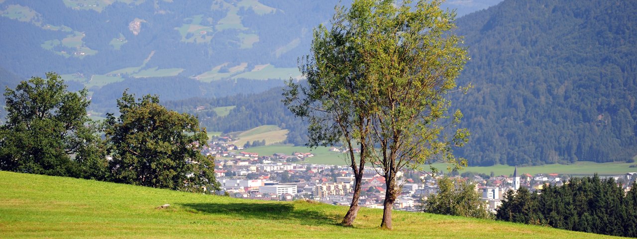
This nine-kilometre hike of intermediate difficulty takes visitors into the Kitzbühel Alps south of Wörgl and offers wonderful views of the Inn Valley and the town of Wörgl itself. The route is suitable for children, though at four hours from start to finish it is relatively long. A good way to break up the walk is by stopping at the Jausenstation Zauberwinkel, where the menu includes classics like Schnitzel and Kaiserschmarrn but also vegetarian dishes. Next to the hut there is a play area as well as a number of walking trails towards the Gschließbach stream and a trail to Oberau.


Circular Walk
Starting point
Wörgl, Vogelweiderstraße
Hike to
Gasthof Zauberwinkel
Finishing point
Wörgl, Vogelweiderstraße
Mountain chain
Kitzbühel Alps
Length
8.7 km
Total hiking time
3 h 24 min
Features
- Wheelchair-accessible Hiking Route
- Circular hike
Difficulty rating
intermediate (red mountain trails)
Altitude
Elevation uphill 490m
Vertical metres downhill 490m
Fitness level
Technique
Best time of year
* These are approximate values and recommendations. Please take your personal fitness level, technical ability and the current weather conditions into account. Tirol Werbung cannot guarantee that the information provided is correct and accepts no liability.
Public transport
- Accessible using public transport
Bus route 4068, get off at bus stop Wörgl Schulzentrum. Railway station: Wörgl
Parking
Wörgl, parking spaces at: Innsbrucker Straße / Wildschönauer Straße
Places serving food & drink
- Gasthof Zauberwinkel
- Gasthof Wildschönauer Bahnhof, Hotel Restaurant Alte Post, Hotel Schachtnerhof in Wörgl
Downloads
Trail description
The hike begins in the Vogelweiderstraße in Wörgl. Walk south to the Bründlweg road, then continue right to the next fork in the road. On the left you will see a narrow, gently rising trail leading towards Hennersberg. Take this trail and, after passing the Gasthof Hennersbergerhof, turn right onto a forest trail. Follow this trail and then head along the "Zaubersteig" trail to the "Zauberwinkel". Continue past a collection of buildings known as the "Hausberghöfe" until you reach the Jausenstation Zauberwinkel. From there, head north to the stone chapel and then take the "Stationenweg" learning trail back to Wörgl. Almost the entire hike is close to the Aubach stream, starting on the eastern side and then crossing over to the western side half way through the hike.


