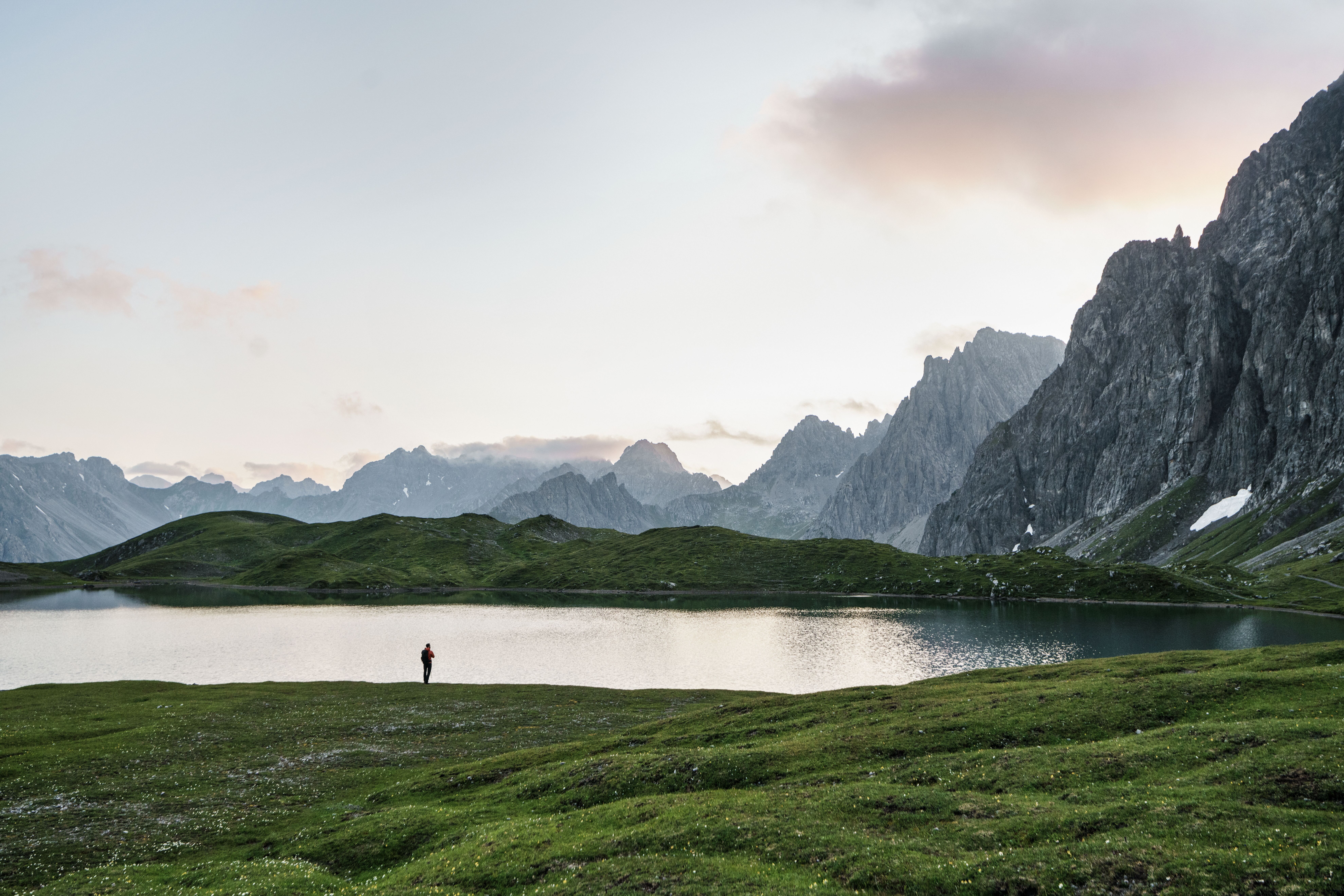
Despite its height of over 3,000 metres, the Wildes Mannele in the Ötztal Alps is relatively easy to climb. From the summit there are fine views of the Wildspitze (3,768 metres), the second-highest mountain in Austria. The Breslauer Hütte (2,844 metres) on the way back down offers a good place to reflect on the hike over a cool drink.
Summit Hike
Starting point
"Stablein" station at top of Wildspitzlift
Hike to
Wildes Mannle
Finishing point
"Stablein" station at top of Wildspitzlift
Mountain chain
Ötztal Alps
Length
7.8 km
Total hiking time
5h
Features
- Wheelchair-accessible Hiking Route
- Circular hike
Difficulty rating
intermediate (red mountain trails)
Altitude
Elevation uphill 745m
Vertical metres downhill 745m
Fitness level
Technique
Best time of year
* These are approximate values and recommendations. Please take your personal fitness level, technical ability and the current weather conditions into account. Tirol Werbung cannot guarantee that the information provided is correct and accepts no liability.
Public transport
- Accessible using public transport
Bus route 8400, get off at stop Vent Hotel Post
Parking
Pay-and-display car park at bottom of Wildspitzlift in Vent
Places serving food and drink
- Panoramarestaurant Stablein (mid-June until mid-September)
- Breslauer Hütte (June until September)
- Gasthof Weißkugel & Gasthaus Alpenrose in Vent
Downloads
Trail description
The adventure begins with a spectacular ride on the Wildspitzlift, a two-man chairlift whisking hikers quickly and easily up the 469 vertical metres from Vent to Stablein. It is here that the hike starts. Take trail 919, initially leading through meadows with grazing sheep, towards the Breslauer Hütte. At the fork in the trail signposted "Breslauer Hütte – Wildes Mannle" turn right, cross under a ski lift and head up towards the mountain from the south. The terrain becomes increasingly rocky the higher you get. The final few sections are secured with steel ropes anchored into the rock for safety. The reward for all that hard work is a fantastic view from the summit at 3,023 metres above sea level, including the mighty Wildspitze to the north-west.
The descent does not lead back along the way you came. Instead, head north from the summit until you reach a marking indicating a turning left to "Rofenkar". Here, again, there are steel ropes to hold on to. Descend via a small glacier lake before climbing once again to the Breslauer Hütte (2,844 metres), a good place to stop for a rest. Finally, take trail 919 down to the top station of the chairlift at Stablein.