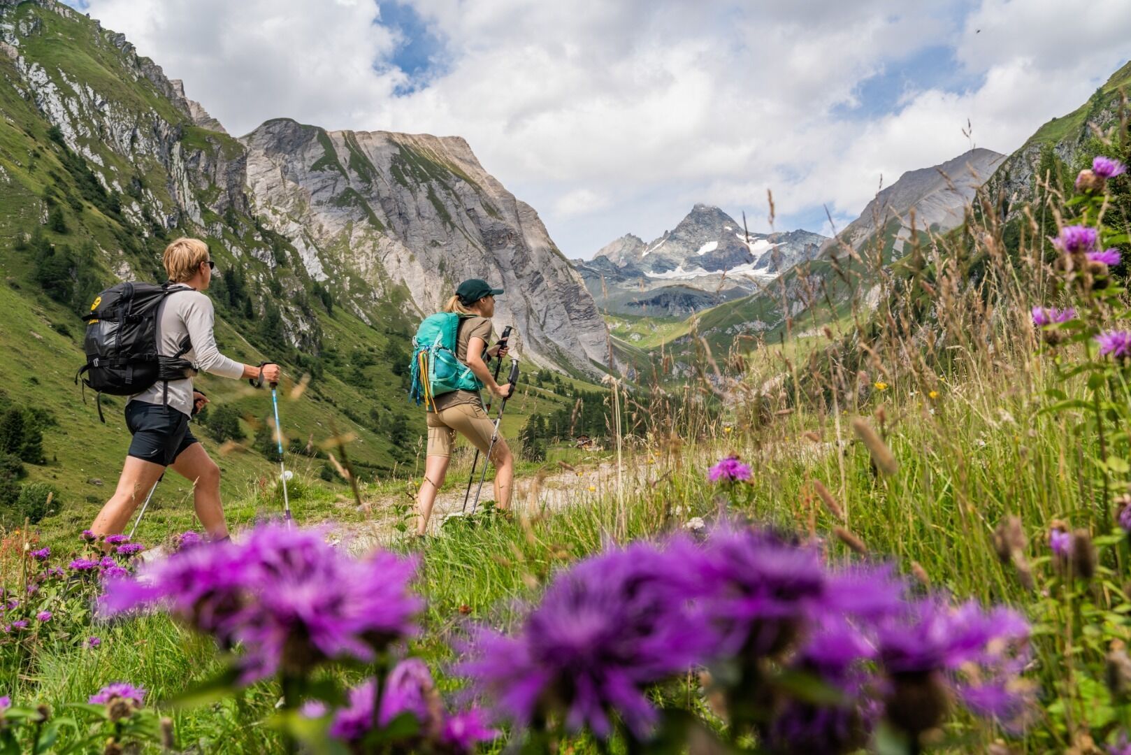
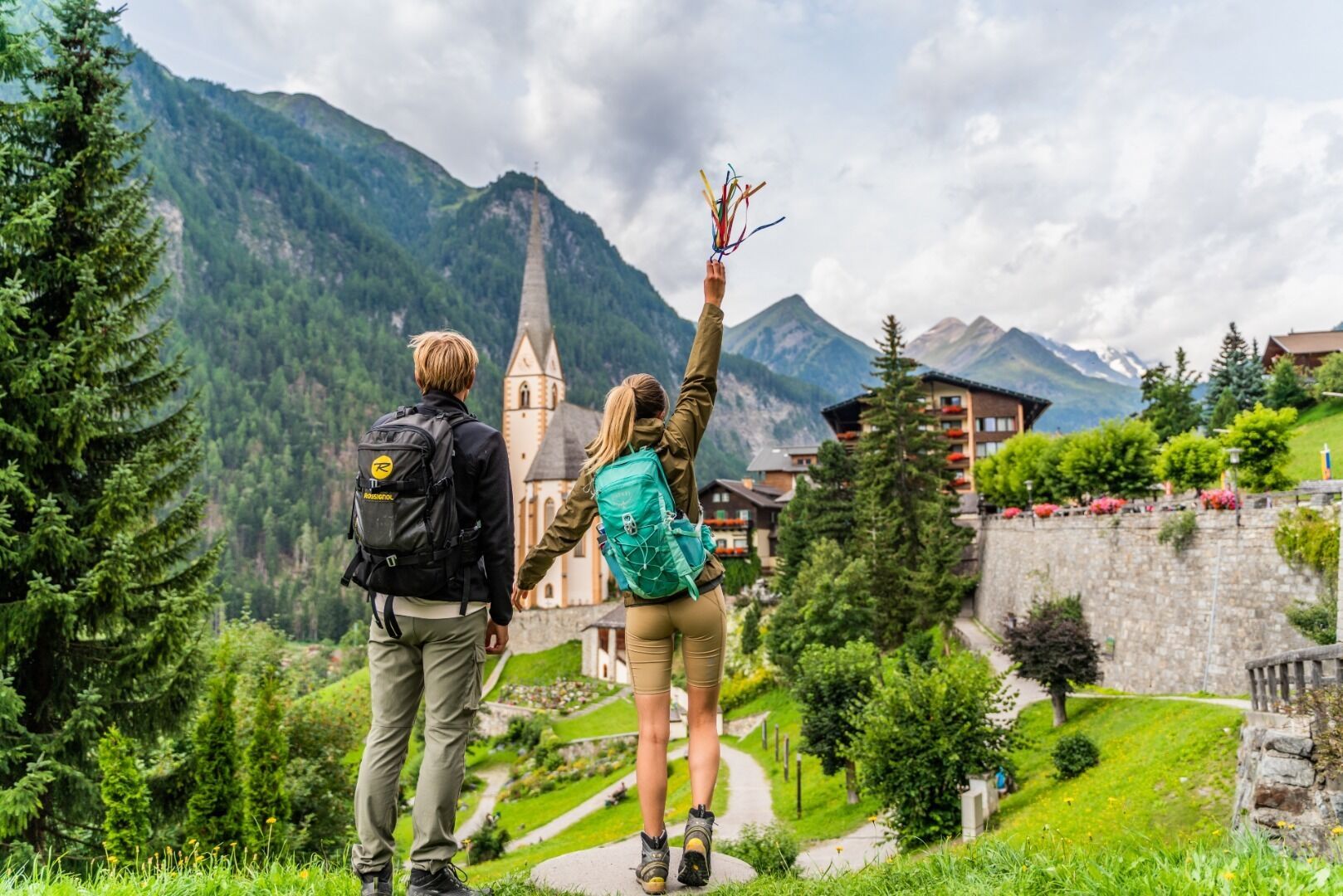
The giant Jakobskreuz cross in Pillersee, © Bergbahn Pillersee/Andreas Langreiter

Long-Distance Hike
Way of Saint James in Tirol

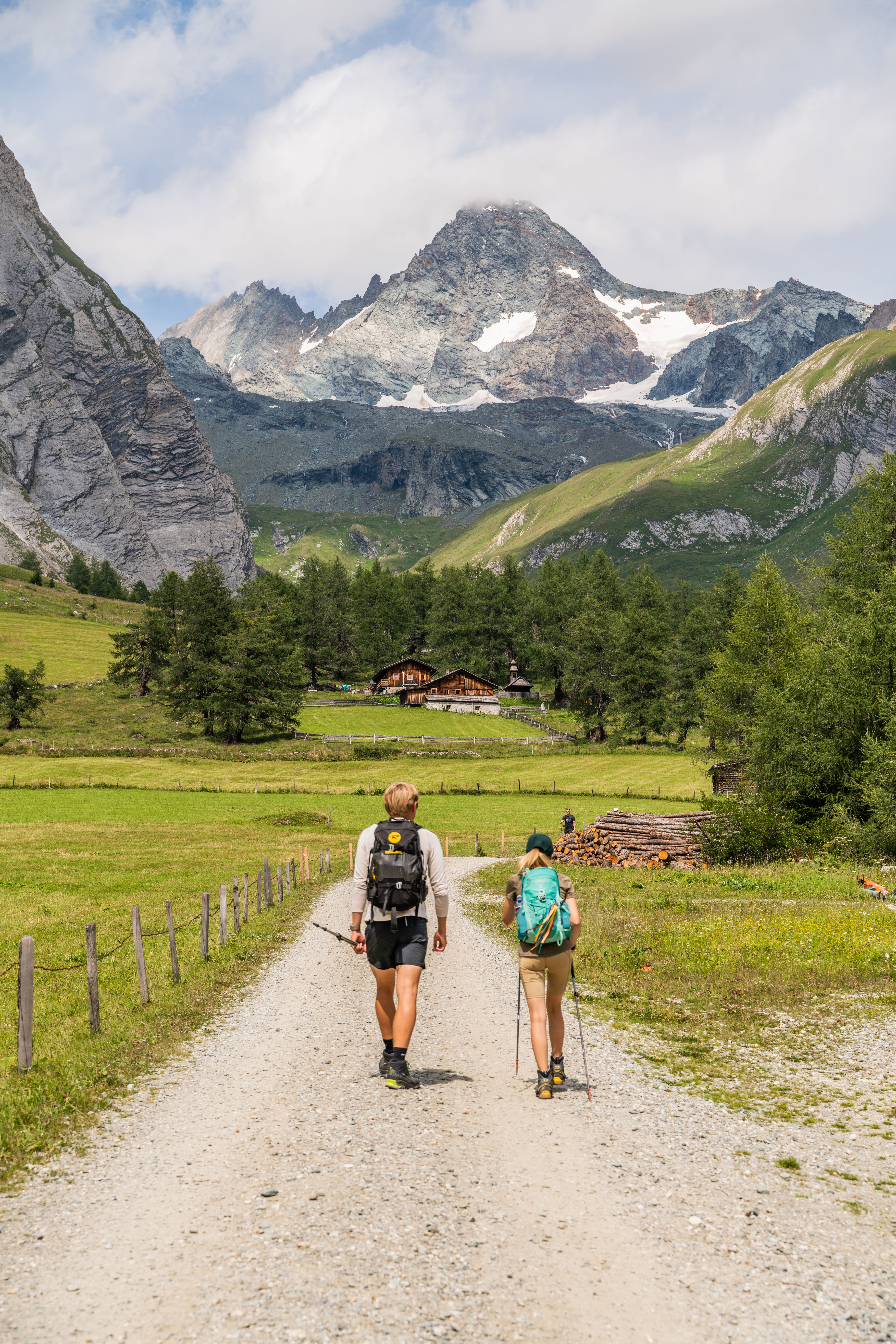
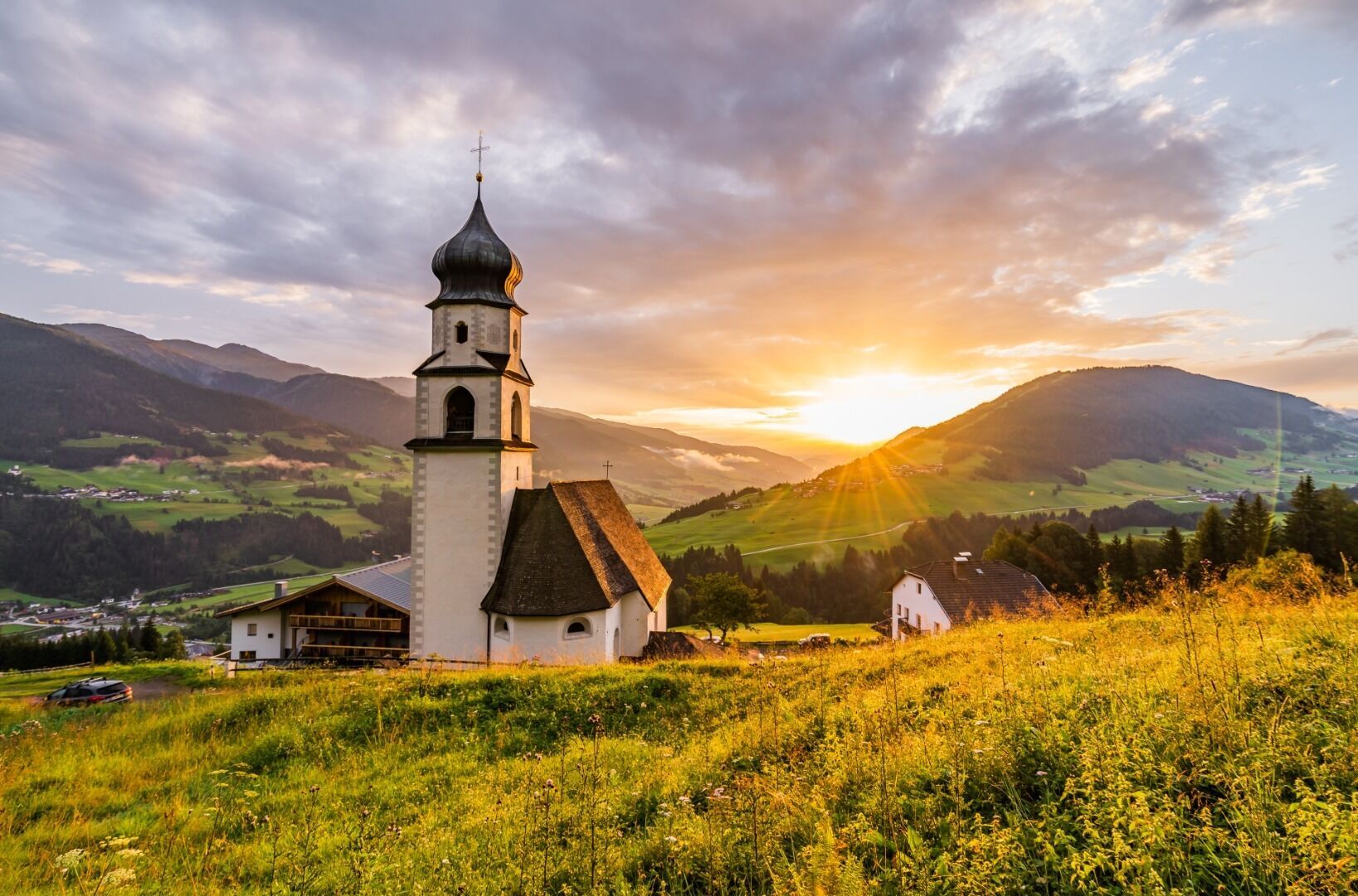
The Way of Saint James, commonly known in English by its Spanish name "El Camino de Santiago", is one of the most famous pilgrimage trails in the world. The 270km section described here begins near Tirol's border with Salzburg, in Lofer im Pinzgau, and ends in St. Christoph am Arlberg. Hikers and pilgrims who have already completed stages of the Way of Saint James in Spain will know that the huge number of people and booked-out accommodation can make it a less than relaxing and spiritual experience. However, this is not the case in Tirol, where hiking the Way of Saint James is still a genuinely moving experience offering the chance to reflect on life. Tirol's was as an important section of the Way of Saint James even as early as the Middle Ages. This is a fact underlined by the many chapels and churches along the route dedicated to Saint James. In Innsbruck there is a larger-than-lift pilgrimage statue on the edge of the city as well as the Saint James's cathedral in the centre of the city, complete with a statue of Saint James dressed as a pilgrim above the entrance. Far from the madding crowds, pilgrims in Tirol can enjoy fabulous nature, majestic mountains and themed trails along the way from the east to the west of the region. Many parishes offer simple accommodation for pilgrims keen to experience a "genuine" journey of reflection and self-discovery, while almost every village en route also has more luxurious accommodation available as well. The Way of Saint James in Tirol can be completed by experienced walkers in twelve stages. Stages 1 to 11 are long but lead through easy terrain.

Open interactive map

Starting point  

Lofer im Pinzgau (province of Salzburg)

Hike to

St. Ulrich am Pillersee, St. Johann, Ellmau, Wörgl, Strass im Zillertal, Terfens, Innsbruck, Pfaffenhofen, Arzl im Pitztal, Zams, Flirsch

Finishing point

St. Christoph am Arlberg, Tirol

Mountain chain

Tux Alps

Verwall Mountains

Kaiser Mountains

Wetterstein Mountains

Karwendel Mountains

Kitzbühel Alps

Lechtal Alps

Loferer Rocky Mountains

Length

271.8 km

Duration

12 day(s)

Features

  • Wheelchair-accessible Hiking Route
  • Circular hike

Difficulty rating

intermediate (red mountain trails)

Altitude

1,852m 501m

Elevation uphill 5,589m
Vertical metres downhill 4,371m

Fitness level

Technique

Best time of year

Jan
Feb
Mar
Apr
May
Jun

Jul
Aug
Sep
Oct
Nov
Dec

* These are approximate values and recommendations. Please take your personal fitness level, technical ability and the current weather conditions into account. Tirol Werbung cannot guarantee that the information provided is correct and accepts no liability.

Public transport

  • Accessible using public transport

Bus route 4012, get off at stop Neue Mittelschule / TVB

Parking

Lofer, parking in the centre of the village


Places serving food & drink

  • Stage 1: start of the stage: Landhasthof Neuwirt, Hotel & Gasthof Lofer – Zum Schweizer and other locations in Lofer; end of the stage: Hotel Pillersee & Der Bräuwirt, Hotel Pension Tirolerherz and other locations in St. Ulrich am Pillersee
  • Stage 2: Gasthof Zur Mauth, Explorer Hotel, Hotel & Wirtshaus Post and other locations in St. Johann
  • Stage 3: Hotel Der Bär, Pension Widauer and other locations in Ellmau
  • Stage 4: Hotel Restaurant Alte Post, Gasthof Wildschönauer Bahnhof and other locations in Wörgl
  • Stage 5: Gasthof Hotel Post, Gästehaus Luxner and other locations in Strass im Zillertal
  • Stage 6: private accommodation in Terfens, Kolsass and surrounding area, Hotel Rettenberg in Kolsass,
  • Stage 7: Hotel Schwarzer Adler, Hotel Altpradl and many other locations in Innsbruck
  • Stage 8: Gasthaus Schwarzer Adler in Pfaffenhofen, Hotel Tirolerhof in Telfs
  • Stage 9: Hotel Arzlerhof, Hotel Erika in Arzl im Pitztal
  • Stage 10: Hotel Jägerhof, Postgasthof Gemse in Zams
  • Stage 11: Gasthof Pension Grissemann, Totel Troschana and other locations in Flirsch
  • Stage 12: Hotel Arlberghöhe, Hotel Maiensee and other locations in St. Christoph am Arlberg

Downloads

Trail description

Stage 1: Lofer - St. Ulrich am Pillersee
Uphill/downhill: 289/55 vertical metres, walking time: 5 hours, distance: 17 kilometres, highest point: 866 metres, difficulty rating: easy

The hike begins in the centre of Lofer (626 metres), heads in a south-westerly direction to the Loferer Straße road, then along the bank of the Grießelbach river as far as the Freibad Waidring open-air swimming pool. From here, head south, continuing to follow the river, through the forest to the Pillersee lake. At the southern end of the lake, in St. Ulrich (847 metres), you reach the end of this first stage.

Stage 2: St. Ulrich am Pillersee - St. Johann
Uphill/downhill: 170/354 vertical metres, walking time: 5 hours, distance: 17.6 kilometres, highest point: 899 metres, difficulty rating: easy

Leaving St. Ulrich, walk along first the western and then the eastern bank of the Grießelbach river. Shortly before reaching Schwendt, take the trail south via Rossau and then continue to Flecken, St. Jakob in Haus, Torfmoos and Mühlbach. Follow the railway line and the Fieberbrunner Ache river into the centre of the small town of St. Johann (659 metres), where this stage concludes.

Stage 3: St. Johann - Ellmau
Uphill/downhill: 252/102 vertical metres, walking time: 4 hours, distance: 12.9 kilometres, highest point: 806 metres, difficulty rating: easy

From St. Johann, follow the Kitzbüheler Ache river for a short while before walking along the banks of another river, the Aschauer Ache, to a third river called the Rettenbach. Take the trail running parallel to this river, then the Römerweg trail, the Vierstadlweg trail and the Aschauerweg trail – first in a westerly direction, then in a southerly direction all the way to the busy Innsbrucker Straße road. Cross the road and walk along the southern bank of the Goingerbach river via the village of Going to our destination, Ellmau (806 metres).

Stage 4: Ellmau - Wörgl
Uphill/downhill: 274/561 vertical metres, walking time: 7 hours, distance: 25 kilometres, highest point: 884 metres, difficulty rating: easy

Leave Ellmau on the Austraße road heading in a westerly direction, then walk along Faistenbichl and south of the Weißache river to the Loferer Straße road. From here, continue to Bärbichl and Söll, where hikers cross the Loferer Straße road. After crossing the road again, walk in a south-western direction and, shortly before reaching Itter, take the trail in a north-westerly direction to the Luecher Bach stream and the Brixentaler Ache river. Follow this river into the centre of Wörgl (511 metres), the finishing point of stage four.

Stage 5: Wörgl - Strass im Zillertal
Uphill/downhill: 407/373 vertical metres, walking time: 7.5 hours, distance: 26.6 kilometres, highest point: 679 metres, difficulty rating: easy

Cross over the Inn river and walk in a westerly direction towards Thal. Continue through the settlements of Egg, Berg and, on the banks of the stream running through the village, to Breitenbach am Inn. Follow the Inn river towards Kramsach, then cross the Brandenberger Ache river and then the Inn. In Rettenbach-Kramsach, continue along the railway line. At the roundabout in Brixlegg, cross the railway line and then cross the Alpbach stream near the cemetery. Leave Brixlegg heading in a south-westerly direction and – staying close to the B171 road – continue on to Sankt Gertraudi and as far as Strass im Zillertal (523 metres), where this stage concludes.

Stage 6: Strass im Zillertal - Terfens
Uphill/downhill: 354/277 vertical metres, walking time: 5.5 hours, distance: 20 kilometres, highest point: 656 metres, difficulty rating: easy

From Strass, head to Rotholz and cross the Inn river there. Continue to the railway station Jenbach, then along the Gießenbach river via Tratzberg to Stans. Staying close to the A12 motorway, pass the town of Schwaz, head through Vomp and, skirting the edge of the forest, continue to Vomperbach. Cross the river and, north of the railway line, head to the finising point of stage six: Terfens (591 metres).

Stage 7: Terfens - Innsbruck
Uphill/downhill: 477/494 vertical metres, walking time: 8 hours, distance: 27 kilometres, highest point: 914 metres, difficulty rating: easy

Walk along the Fischergasse road, along the Grandlbach stream, and then later follow the Gungglbach stream. Cross over the stream and then continue in a westerly direction via St. Michael, skirting the edge of the forest, to Urschenbach. Then take the "Besinnungsweg" themed trail to the Walderkapelle chapel. Take the south-westerly trail out of the forest and pass Hall in Tirol before reaching Thaur. From here the trail runs south of Rum via Arzl and Mühlau to Innsbruck (574 metres). 

Stage 8: Innsbruck - Pfaffenhofen
Uphill/downhill: 461/410 vertical metres, walking time: 10 hours, distance: 34.9 kilometres, highest point: 763 metres, difficulty rating: easy

Leave Innsbruck along the Inn river, crossing over the river south of the B174 road. Take the bridge over the river near the Inntal-Autobahn motorway, continue through Völs and past Kematen in Tirol to Unterperfuss and then back to the Inn river. Follow the banks of the river via Inzing, Hatting, Polling in Tirol and Flaurling to Pfaffenhofen (642 metres), where this stage finishes.

Stage 9: Pfaffenhofen - Arzl im Pitztal
Uphill/downhill: 657/382 vertical metres, walking time: 9.5 hours, distance: 32.7 kilometres, highest point: 882 metres, difficulty rating: easy

From Pfaffenhofen, skirt the edge of the forest to Rietz and then continue to Stams, Silz and Haiming. Cross the Inn river here and walk along parallel to the A12 motorway. Cross the river once again near the B171 main road, north of Roppen. From Roppen then proceed to Obbruck, Waldele and Arzl im Pitztal (882 metres).

Stage 10: Arzl im Pitztal - Zams
Uphill/downhill: 494/615 vertical metres, walking time: 6 hours, distance: 17.4 kilometres, highest point: 968 metres, difficulty rating: easy

From Arzl im Pitztal cross through the Arzler Wald forest all the way to the Kogelbach stream. Cross the stream and then continue towards Imsterberg, Ried and Lochmühl as far as a canyon known as the Kronburger Schucht. Then pass though Rifenal and Anreit all the way to Zams (765 metres).

Stage 11: Zams - Flirsch
Uphill/downhill: 785/391 vertical metres, walking time: 6.5 hours, distance: 19.7 kilometres, highest point: 1,272 metres, difficulty rating: easy

The penultimate stage of the hike first leads along the northern bank of the Inn river, then through Stanz and on to Grins. From there, shirt the southern slopes of the Zintlkopf mountain (1,468 metres) and follow the trail parallel to the Rosanna river to Flirsch (1,154 metres), where this stage concludes.

Stage 12: Flirsch - St. Christoph am Arlberg
Uphill/downhill: 969/357 vertical metres, walking time: 7 hours, distance: 21 kilometres, highest point: 1,852 metres, difficulty rating: intermediate

The trail from Flirsch to the next major village, Schnann, runs mainly through forested terrain, staying more or less close to the Rosanna river. Hikers then continue through Pettneu am Arlberg, Gard and St. Anton am Arlberg before finally heading up to St. Christoph am Arlberg (1,765 metres Meter). It is here that stage 12 and the Way of Saint James in Tirol end.

Travel back from St. Christoph am Arlberg to Lofer by bus and train via Langen, Wörgl, St. Johann. Total travelling time: around 4 hours.

Information on place

Arrival date

How to get here by plane, train, bus or car.

Ihr Ziel: Way of Saint James in Tirol (47.52182,12.42691)

powered by Rome2Rio

Search accommodation

Number of travelers

Hiking trails in this region

show more +

How did you like this article?

Want to receive an answer? If so, please get in touch using the contact form.

Go up

Is your inbox in need of a holiday?

Then subscribe to our weekly newsletter full of exclusive holiday tips from Tirol!