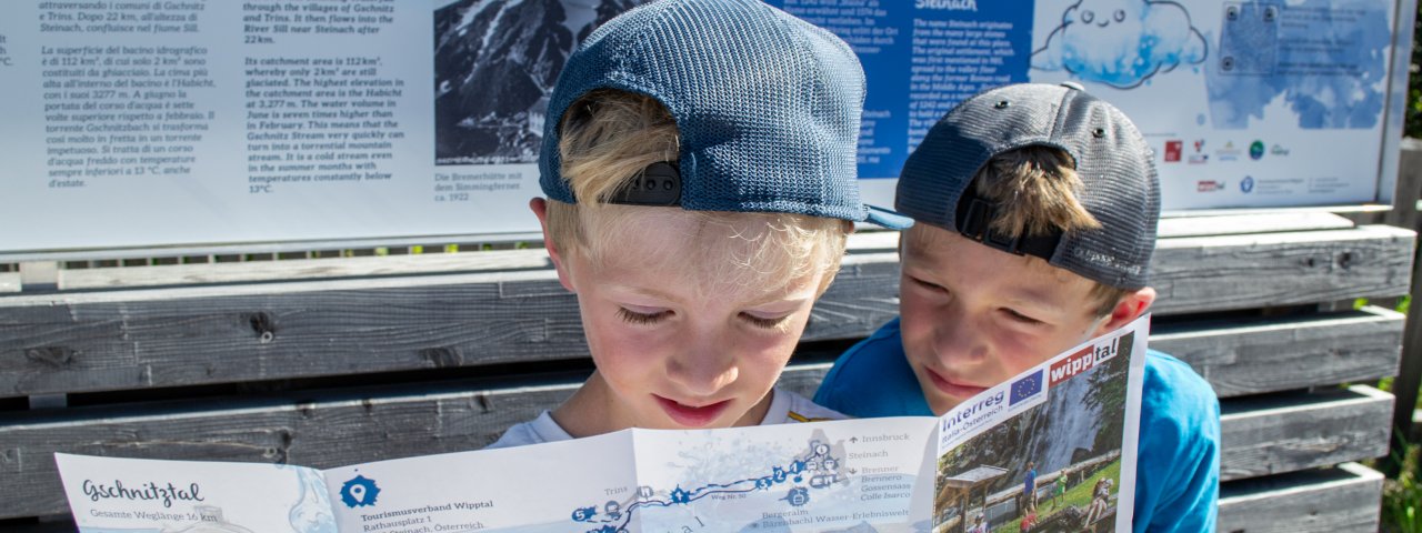
This walk is perfect for families with children. It begins in Steinach am Brenner and forms the shape of two water droplets, albeit reversed. Along the way there are lots of interactive and informative stations all about water in its many fascinating forms. A smartphone app with a quiz is also available. At 18 kilometres the walk is relatively long and therefore only suitable for children with good overall fitness. The walk can also be shortened by three kilometres by leaving out the detour to the Sarntheinwasserfall waterfall. And if you do run out of energy before getting to the finish, there is always the option of hopping on the bus which runs through the valley in both directions.


Starting point
Railway station, Steinach am Brenner
Hike to
Mühlendorf Gschnitz / Gasthof Feuerstein
Finishing point
Mühlendorf Gschnitz / Gasthof Feuerstein
Mountain chain
Stubai Alps
Length
18.4 km
Total hiking time
5 h 30 min
Features
- Wheelchair-accessible Hiking Route
- Circular hike
Difficulty rating
intermediate (red mountain trails)
Altitude
Elevation uphill 443m
Vertical metres downhill 202m
Fitness level
Technique
Best time of year
* These are approximate values and recommendations. Please take your personal fitness level, technical ability and the current weather conditions into account. Tirol Werbung cannot guarantee that the information provided is correct and accepts no liability.
Public transport
- Accessible using public transport
Railway station Steinach am Brenner (REX and S3 trains from Innsbruck)
Parking
Park & Ride at the railway station in Steinach am Brenner (other parking also available)
Places serving food and drink
- Liftstüberl Trins
- Jausenstation Pumafalle
- Gasthof Alpenrose
- Gasthof Feuerstein
Downloads
Trail description
The hike starts at the railway station in Steinach am Brenner. Walk south for a bit, cross the bridge over the Sill river, turn right onto the main road and immediately left again. Now continue on the Zirmweg trail and then take the Herrengschwendt road on the right. It goes down to the bottom station of the Bergeralm cable car, over the Gschnitzbach stream, under the motorway bridge and shortly afterwards back to the southern side of the stream. There, the trail climbs slightly on a forest path and then continues above the stream into the valley. Shortly before reaching the village of Trins, change sides of the stream again. If you want to make the detour to the Sarnthein waterfall, turn right at Pension Erika below Schneeberg Castle and walk past the forest cemetery to the main road. Opposite the car park, turn into the Jubiläumsweg and follow the signs to the waterfall. From there, walk back to the castle and continue up the valley along the Gschnitzbach stream. At the football pitch, cross the stream again and continue on the field path until the path leads into the forest again. At the St. Magdalena car park near the alpaca farm, head back to the north side of the stream and into Gschnitz. At the end of the village, take the bridge over the stream again and hike above in the forest to the last settlement in the valley. The final section leads along the road for a while before you get to your final destination: the Gasthof Feuerstein and the Mühelndorf (Mill Village). Return to Steinach on bus 4146 (free of charge for guestcard holders).


