The autumn sheep drive has remained a living tradition in Tyrol. No wonder, with these lively animals bleating excitedly and ringing their bells as they head towards their home farms.
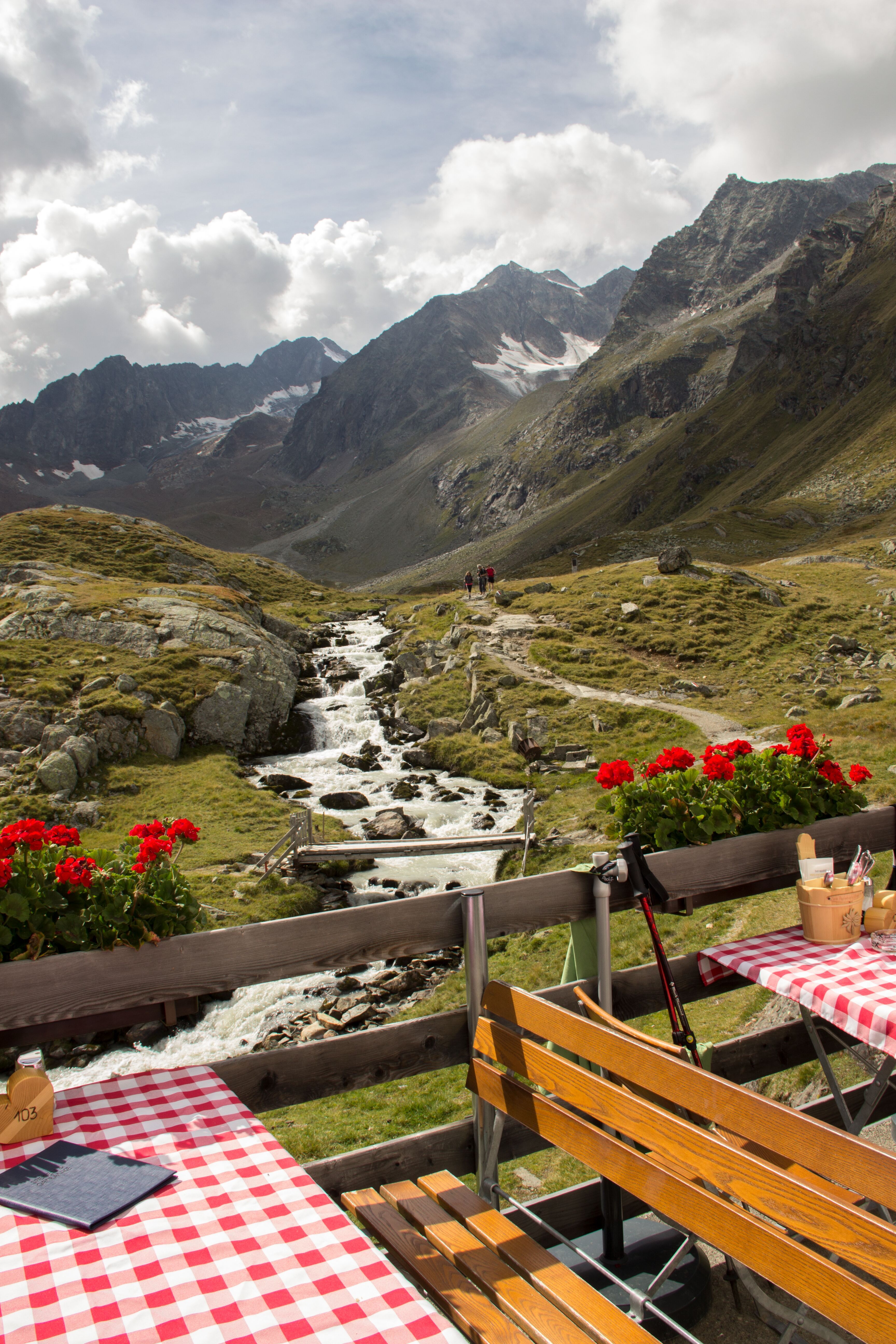
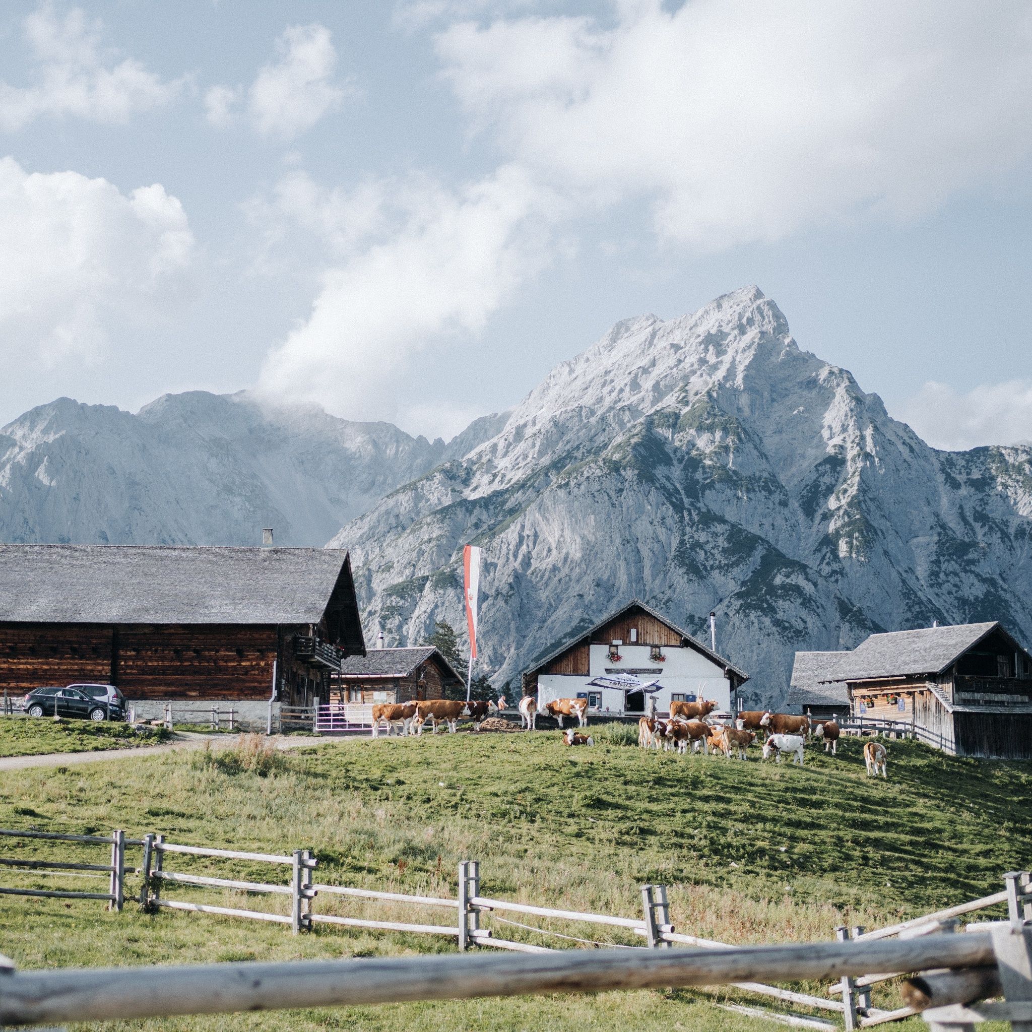
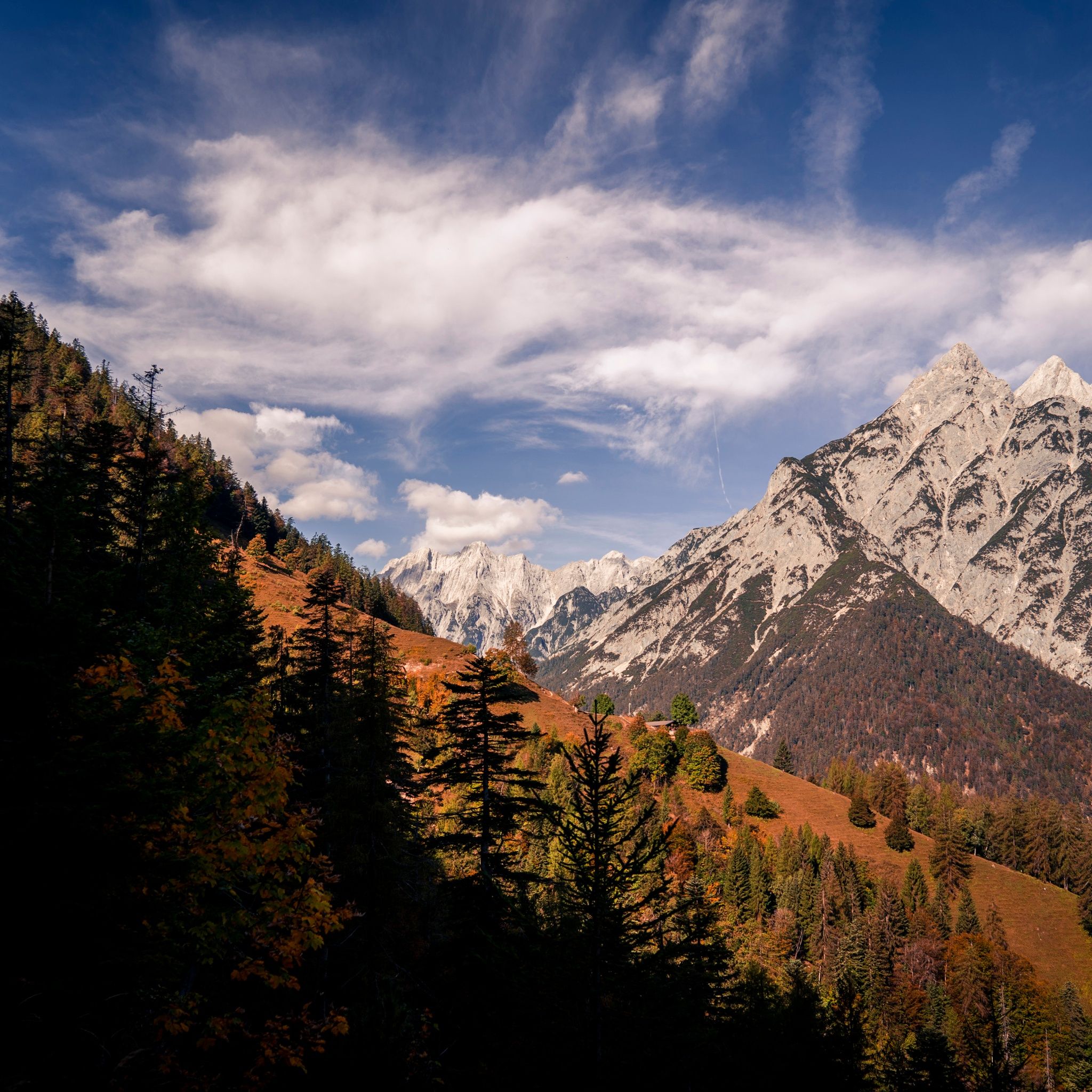
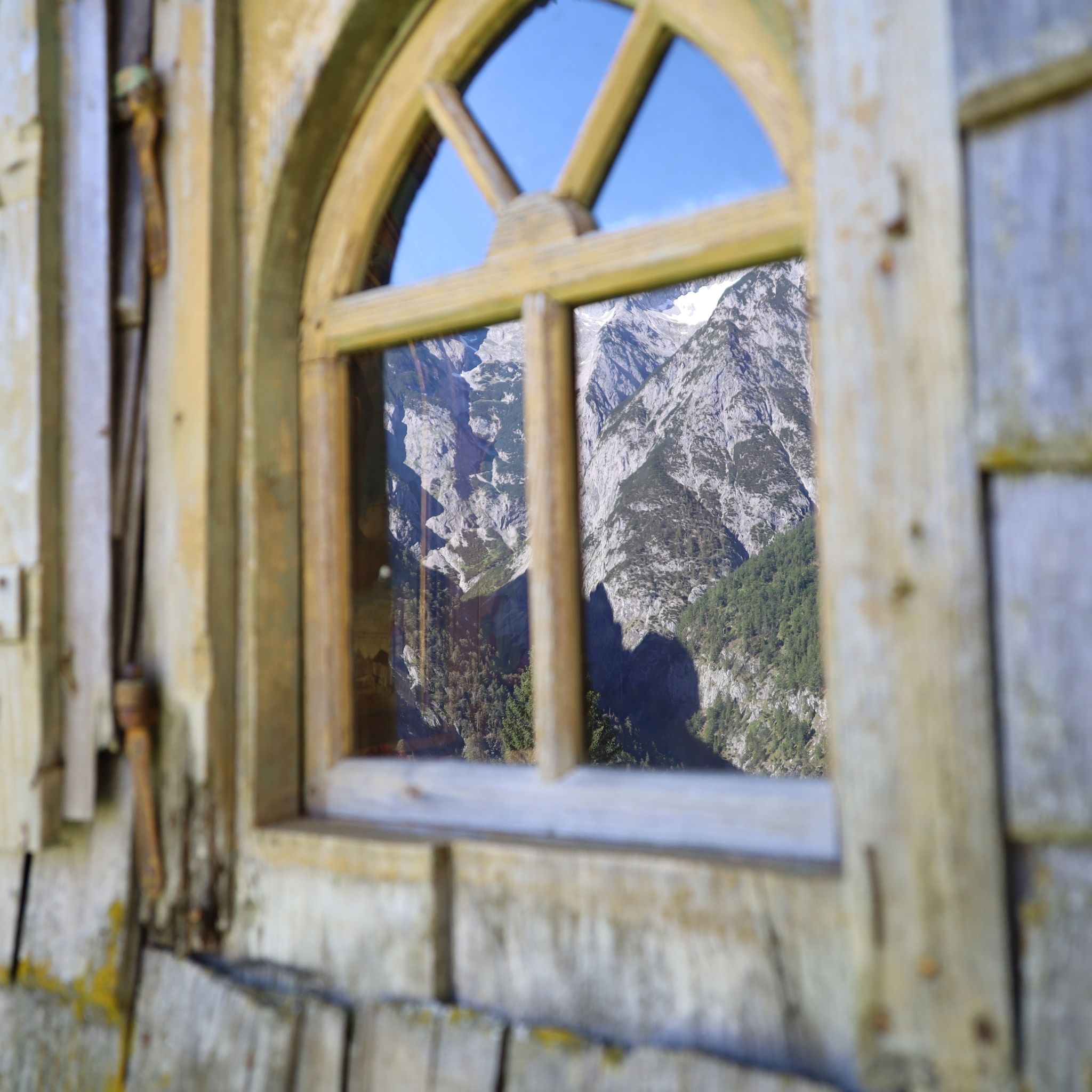
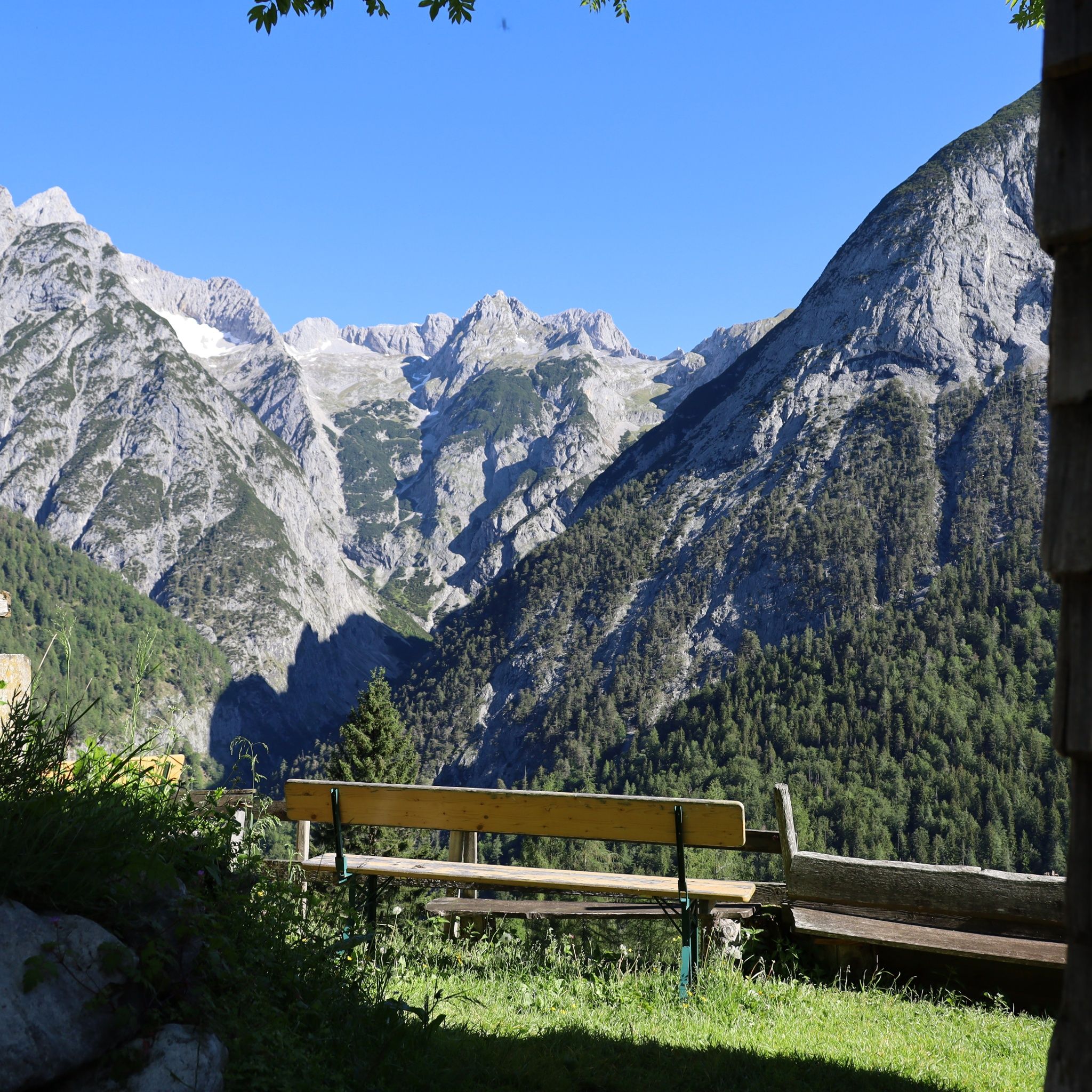
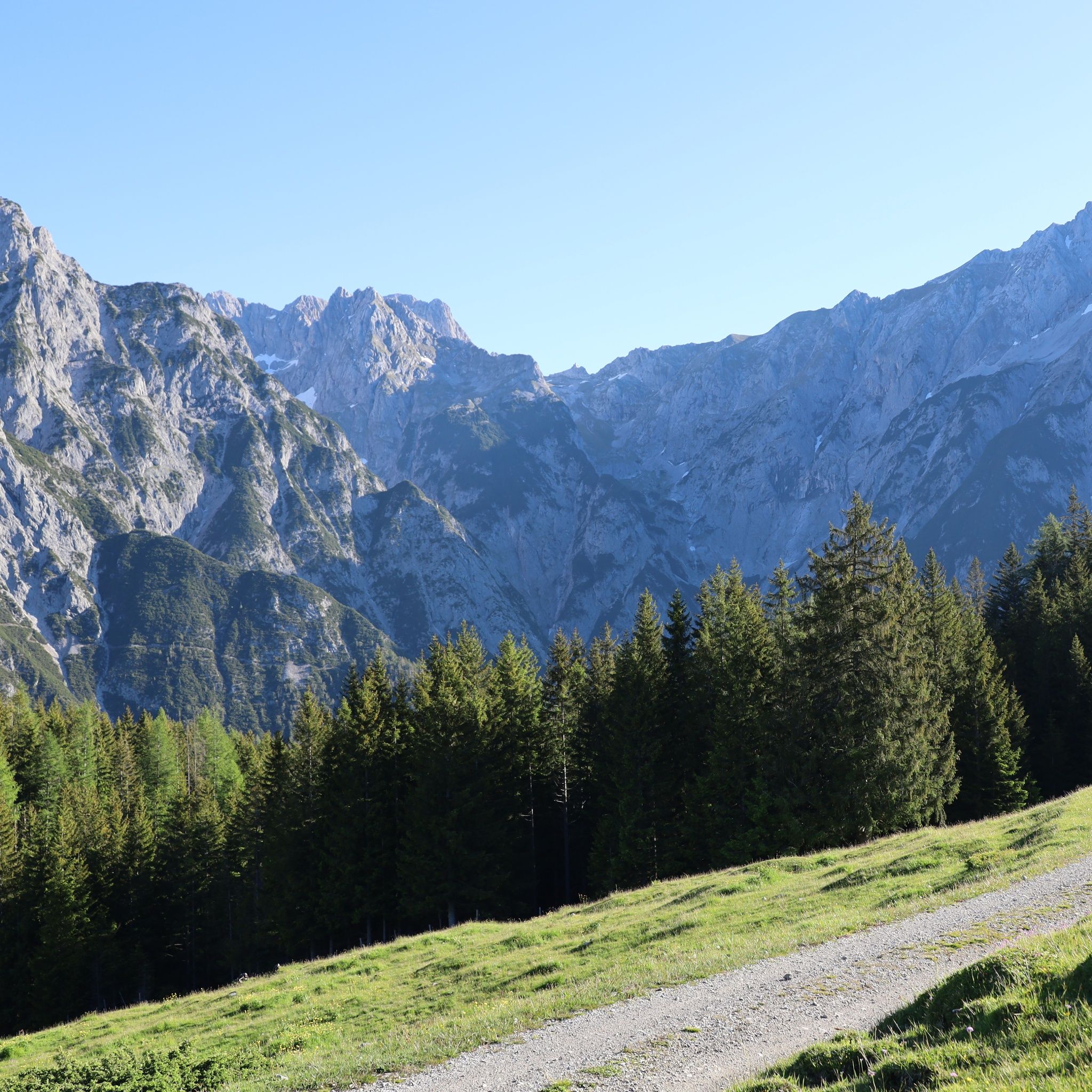
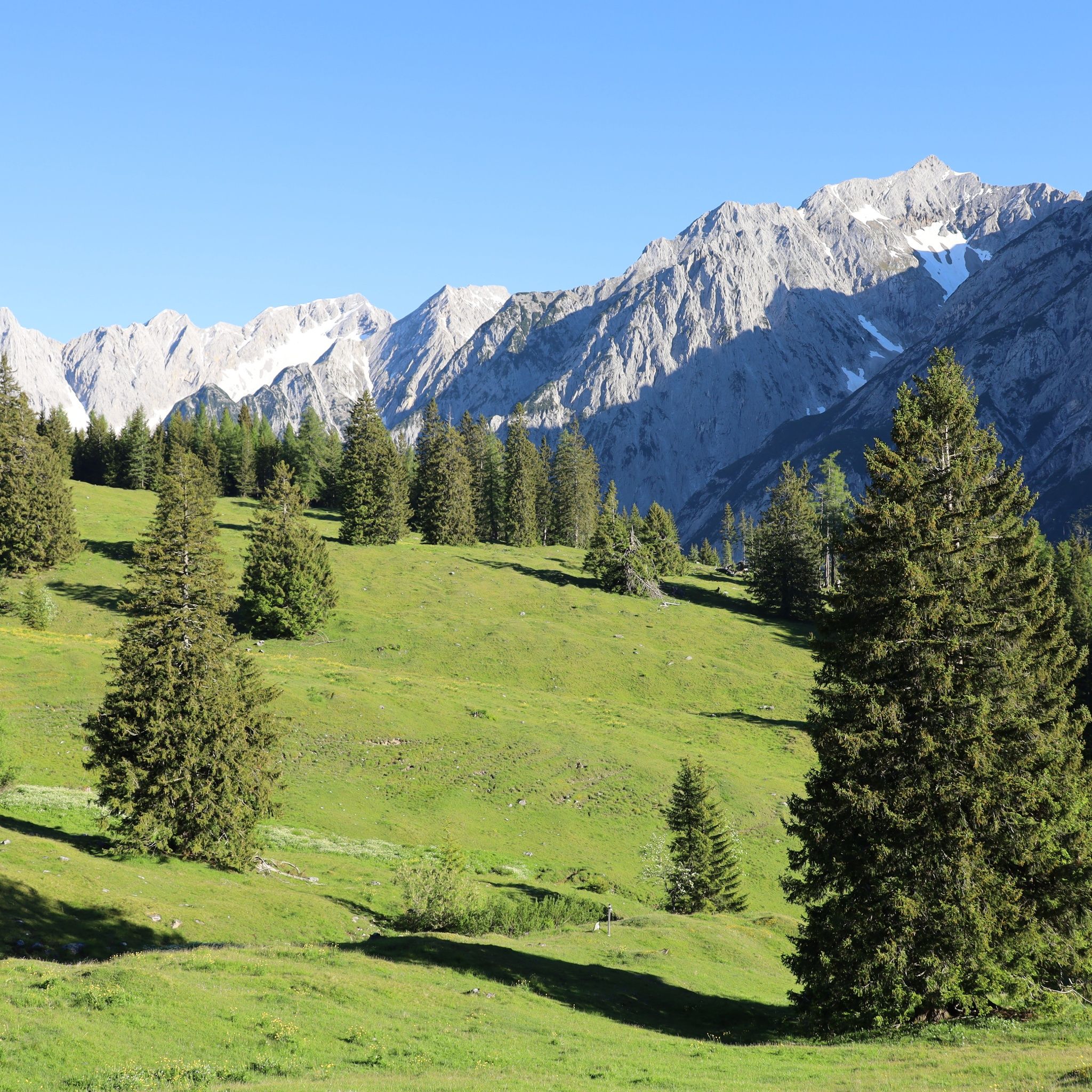
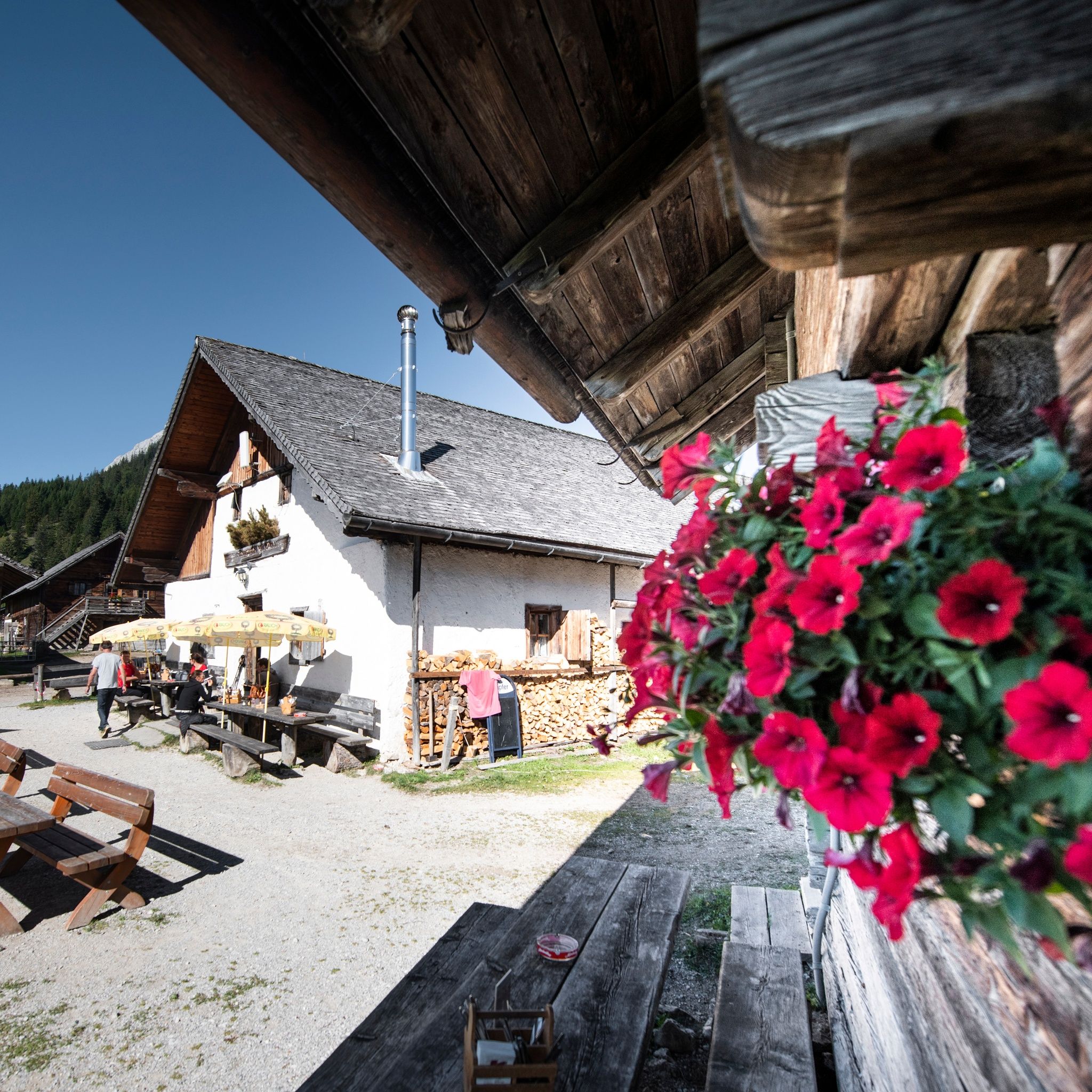
A hike to an alpine hut in Tirol is a unique experience for hiking and nature lovers alike. What makes these hikes so special is the combination of breathtaking nature, authentic encounters and culinary delights. On a hike through the Tirolean Alps, rustic retreats await, where homemade products such as cheese, yoghurt and butter can be sampled. Personal contact with the owners of the huts makes it possible to learn more about the origin of these delicacies and to get an insight into traditional alpine life.
Hikes to alpine huts invite visitors to get away from it all for a while and immerse themselves not only in the landscape but also in the culture of Tirol.
When hiking in the mountains, there are some important things to keep in mind in order to protect nature, the alpine landscape and yourself. One key issue is how to behave around grazing livestock. Animals in the mountains are often used to people, but caution should still be exercised. Remain calm, do not approach the animals and keep dogs on a leash.
Find out about the opening times of the mountain huts before you start your hike, as they may be closed at short notice in bad weather. Many mountain huts are simple and offer only a limited menu. Remember that mountain huts are not only tourist destinations, but also the workplace and home of the owners. Respect the peace and quiet and the effort that the hut keepers put into their work, as they often run the business alone. Understanding and consideration will help to ensure that your hike is a harmonious experience for everyone involved.
Not all of the mountain huts in Tirol are open to the public, but the majority are and offer visitors the opportunity to stop by for a bite to eat. In many regions of Tirol, you can enjoy homemade specialities and a unique atmosphere at the mountain huts. This list is a helpful guide.
However, there are also mountain huts that are not open to the public. These are often marked as such on hiking maps or can be identified in advance with a quick internet search. It is therefore worth planning your route well before your hike and finding out which mountain huts offer refreshments. This will ensure that your hike is a successful and enjoyable experience.
Most of the alpine huts in Tirol are easily accessible and can usually be reached via forest roads or easy trails. Even for less experienced hikers, many alpine huts are easily accessible, so you can enjoy the alpine hike without much difficulty. For cycling enthusiasts, there are numerous alpine huts that can also be reached by mountain bike. An overview of MTB rides to alpine huts can be found here: MTB Rides to Alpine Huts.
If you would like to combine your alpine hike with a summit experience, there are also many options. Numerous alpine hikes can be wonderfully extended into summit hikes, so that you can fully enjoy your day in the mountains. Discover suitable hikes here: Summit Hikes.
Authentic, regional cuisine awaits you in the mountain huts of Tirol, often made from ingredients produced on the premises. Many innkeepers make their own products so that you can enjoy fresh and homemade delicacies. Typical Tirolean dishes include cheese dumplings, bacon dumplings, cheese noodles, homemade cheese, Brettljausen and Kaiserschmarrn – all dishes that reflect the taste of the region.
The menus at the mountain huts are usually limited offering a selection of traditional, seasonal dishes. If you are looking for a special culinary experience, you can also take part in culinary hikes. Here you will find a list of mountain huts and chalets that offer exceptional culinary delights: Culinary Hikes.

In our monthly newsletter we reveal the best holiday tips for Tyrol.