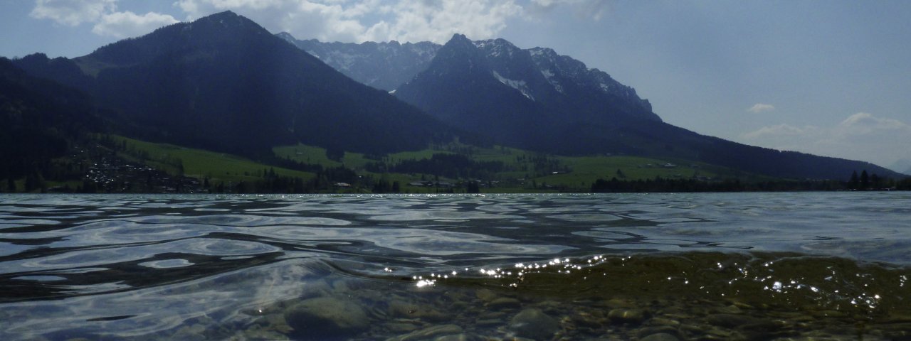
This easy family hike leads through lush green meadows from the Walchsee lake past many traditional huts. Along the way there are plenty of things to see and do, including a number of play areas and a chance to meet the goats living at the Raineralm.

Meadow Hike
Starting point
Walchsee
Finishing point
Kössen
Mountain chain
Kaiser Mountains
Length
9.3 km
Total hiking time
3 h 30 min
Features
- Wheelchair-accessible Hiking Route
- Circular hike
Difficulty rating
easy (hiking trails)
Altitude
Elevation uphill 320m
Vertical metres downhill 385m
Fitness level
Technique
Best time of year
* These are approximate values and recommendations. Please take your personal fitness level, technical ability and the current weather conditions into account. Tirol Werbung cannot guarantee that the information provided is correct and accepts no liability.
Public transport
- Accessible using public transport
Bus route 4030, get off at stop Walchsee Dorfplatz
Parking
Walchsee, car park next to the tourist information centre
Places serving food & drink
- Riederalm (mid-May until mid-November, Christmas until March; closed on Thursdays)
- Ottenalm (early May until late October, mid-December until mid-March)
- Edernalm (late April until late Oktober; open daily)
- Gasthof Staffnerhof (restaurant closed in summer)
- Kössen (Gasthof Post, Gasthof Erzherzog Rainer and other locations)
Trail description
Leaving from the parish church in Walchsee (658 metres), take the Kirchgasse road heading north and cross the main village square (Dorfplatz) before turning right onto Hausbergstraße. Follow this road for around one kilometre until you reach the football pitch in Winkl (690 metres). Alternatively, you can drive to the football pitch and leave your car there (pay-and-display car park). Just a few metres on from the pitch you will find a signpost pointing right to "Riederalm" and "Ottenalm". Head into the forest and follow this trail uphill in a north-easterly direction, then through a clearing in the forest to the Riederalm hut (850 metres).
Behind the hut, the path leads slightly uphill in an easterly direction across an open field to a wooded area. Walk along its edge, then into the forest. After 50 metres, follow the path across a clearing, first northwards, then eastwards again. The Ottenalm (960 metres) is immediately visible behind it, at the foot of the north face of the Harauer Spitze (1,117 metres). There are three via ferratas of varying degrees of difficulty in the "Climbing Arena" near the Ottenalm hut.
Follow the path in a north-easterly direction to the Harauersattel (965 metres), then slightly downhill to the Welzenalm hut (closed to the public). Continue across a meadow up to the Berggasthof Edernalm (950 metres). From here, return to the main trail and head east to the village of Staffen, where you can stop for refreshments at the Staffnerhof inn - but only in winter. Continue down into the Großachetal valley. Cross the river bridge to Kössen (589 metres). Here along the Mühlbachweg and left into the centre of the village.
Take the bus from Kössen (get on at the stop "VZ Kaiserwinkl") to Walchsee (get off at the stop "Dorfplatz").


