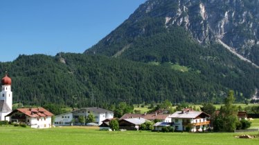
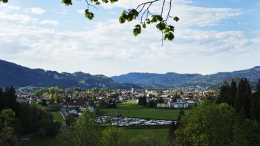
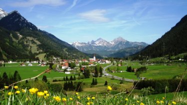
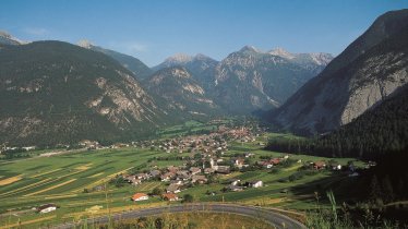
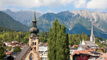
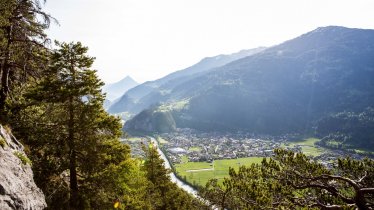
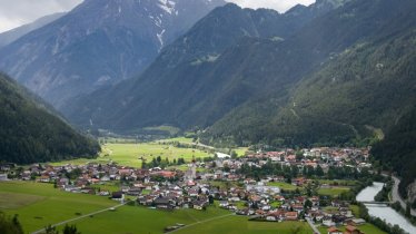
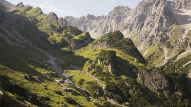
Once an important trading route from the Dabube to the Adriatic, the Via Claudia Augusta is today a long-distance hiking trail combining nature, culture and plenty of interesting attractions along the way. The Tirolean section of the Via Claudia Augusta, which runs for around 150 kilometres, invites walkers to learn about the region's history, landscape and people. It leads through the Reutte National Park Region, past the Heiterwanger See lake and the craggy peaks of the Zugspitze Massif. The route leads up over the Fernpass, on to Imst and Landeck through the Inn Valley with its many castles and canyons. After crossing the west of Tirol, known as the Tirolean Oberland, the Via Claudia Augusta eventually climbs up over the Reschenpass and crosses over into Italy. The Tirolean part of the Via Claudia Augusta comprises nine stages, each of which can be completed in a single day. These can, of course, be either shortened or extended as you wish. Almost 2,000 years ago, Emperor Claudius built the Via Claudia Augusta as the first proper road through the Alps. Until today, this route remains an important transit route from north to south. The Via Claudia Augusta hiking trail is 600 kilometres long from start to finish, with 30 stages between Donauwörth in Austria and Venice in Italy.


Long-Distance Hiking Trail
Starting point
Donauwörth; in Tirol: Pinswang near Reutte
Finishing point
Ostiglia or Altino in Italy; in Tirol: Nauders
Mountain chain
Ammergau Alps
Lechtal Alps
Mieming Mountains
Ötztal Alps
Samnaun Mountains
Length
150 km
Duration
9 day(s)
Features
- Wheelchair-accessible Hiking Route
- Circular hike
Difficulty rating
easy (hiking trails)
Elevation uphill 2,640m
Vertical metres downhill 2,309m
Fitness level
Technique
Best time of year
* These are approximate values and recommendations. Please take your personal fitness level, technical ability and the current weather conditions into account. Tirol Werbung cannot guarantee that the information provided is correct and accepts no liability.
Trail description
Stage 1: Füssen – Pinswang – Reutte
Uphill/downhill: 345/283 vertical metres, walking time: 4 ¾ hours, distance: 15.8 kilometres
Leaving the village of Füssen, follow the banks of the Lech river and the main road ("Landstraße 396") until the trail branches off. Continue between two mountains, the Stiglberg and the Kratzer, to the small settlements of Unterpinswang and Oberpinswang, then up over the Kniepass to the idyllic Urisee lake (a good place to cool off). The final section leads past Mühl to the town of Reutte.
Stage 2: Reutte – Klause Ehrenberg – Heiterwang – Bichlbach
Uphill/downhill: 301/77 vertical metres, walking time: 4 1/2 hours, distance: 14.8 kilometres
From the centre of Reutte, head to the Ehrenberg Castle ruins. Perched on top of a hill just outside the town and offering fine views of the Außerfern region in the west of Tirol, these centuries-old ruins give a fascinating insight into what life would have been like here in years gone by. Don't forget to also visit the nearby Highline179, a hanging footbridge spanning a deep canyon. The 179 in the name refers to the fact that the bridge is up to 179 metres above the ground in places! The journey then continues on to Heiterwang, near the Heiterwanger See and Plansee lakes. Both lakes have small sightseeing ships offering mini cruises. Stage two ends in Bichlbach, where the main village road traces the exact route of the Via Claudia Augusta.
Stage 3: Bichlbach – Lermoos – Biberwier
Uphill/downhill: 159/252 vertical metres, walking time: 3 3/4 hours, distance: 12.5 kilometres
The adventure continues on the original route out of Bichlbach, though the neighbouring villages of Engle and Lähn, all the way to Lermoos with its fine views of the craggy peaks which make up the Zugspitze Massif. We recommend taking the cable car up to the top of the Zugspitze Plateau or stopping off in the pretty village of Ehrwald. The Lermoos section of the Via Claudia Augusta posed a challenge to roadbuilders 2,000 years ago due to the area's swampy marshland, which had to be bridged over using thousands of tree trunks to prevent the Roman road from sinking. The stage concludes in Biberwier.
Stage 4: Biberwier – Fernpass – Nassereith
Uphill/downhill: 312/455 vertical metres, walking time: 5 1/2 hours, distance: 17 kilometres
Leaving Biberwier behind, the hike passes several lakes on its way up over the Fernpass. The hiking trail crosses the Fernpass-Straße, one of the most important alpine roads connecting Germany and Tirol, and continues on to the Fernsteinsee lake, in the middle of which you will find the ruins of a former castle. On the shores of the lake you will find another castle, Schloss Fernstein, in much better condition. Continue to Sankt Wendelin, once known for its mining, until the stage reaches its conclusion in Nassereith.
Stage 5: Nassereith – Tarrenz – Imst
Uphill/downhill: 235/276 vertical metres, walking time: 5 hours, distance: 17 kilometres
From Nassereith the landscape opens up as the route heads into the Gurgltal Valley, along the original Roman road. In Tarrenz the trail switches to the opposite side of the valley and continues to Imst. This region is known for its Carnival traditions, when in February the local community gets together to drive out winter and usher in spring. There are several carnival museums in the area showcasing the colourful costumes which feature in these celebrations. Also well worth a visit is the Knappenwelt Gurgltal, an open-air museum telling the story of mining in the region. Beer-lovers should take a guided tour of the Starkenberg Brewery. Imst is the largest town in the west of Tirol and has a long history dating back to pre-Roman times.
Stage 6: Imst – Zams – Landeck
Uphill/downhill: 374/334 vertical metres, walking time: 6 1/2 hours, distance: 22.4 kilometres
From Imst, the Via Claudia Augusta enters the Inn Valley. Highlights here include the Milser Au moorland and the Alpenrast Tyrol adventure village. After crossing over the Inn river, the journey continues through several villages towards Kronburg Castle perched atop a rock high above the valley floor. The hike continues via Zams to the town of Landeck with its local history museum and many other highlights.
Stage 7: Landeck – Fließ – Ried im Oberinntal
Uphill/downhill: 335/282 vertical metres, walking time: 5 1/2 hours, distance: 18.7 kilometres
From Landeck, hikers wind their way up via a series of switchback corners via the Fließer Platte plateau at over 1,000 metres to the village of Fließ, where there is an information centre about the history of the Via Claudia Augusta as a Roman road. After leaving the village of Fließ, the route leads back down into the Inn Valley and crosses the river before continuing along the banks of the Inn. Continue past Prutz to Ried im Oberinntal, where this stage concludes. The stages of the Via Claudia Augusta from Landeck are among the most interesting and attractive, featuring buildings from many different historical periods.
Stage 8: Ried im Oberinntal – Pfunds
Uphill/downhill: 411/328 vertical metres, walking time: 5 hours, distance: 16.3 kilometres
At the foot of the sunny plateau home to the three villages of Serfaus, Fiss and Ladis, the route continues along the Inn river. Keep your eyed peeled as you pass the village of Tösens to see the Roman-style stone bridge. Don't be fooled by its ancient appearance - it actually dates from the Middle Ages. Continue along the original route of the Via Claudia Augusta, through several villages all the way to Pfunds. We recommend a visit to the Radurschlklamm gorge and the Pfundser Tschey valley.
Stage 9: Pfunds – Altfinstermünz – Nauders – Reschensee
Uphill/downhill: 180/22 vertical metres, walking time: 4 hours, distance: 15.2 kilometres
The final stage leads from Pfunds through the Inn Valley to the impressive Altfinstermünz Fortress with its local history museum. From there, take the bus to Nauders (work is still in progress on this section of the Via Claudia Augusta). From Nauders, continue over the Reschenpass (1,507 metres, highest point on the hike) into Italy. Make sure you have your camera ready at the Reschensee lake to get a snap of the surreal semi-submerged church spire.


