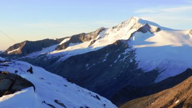
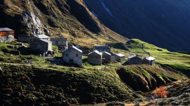
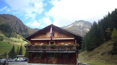
Dating back to 1872, the Clarahütte in the Virgental Valley in East Tirol is one of the oldest huts of the Austrian Alpine Club in the Venediger Massif. It is also one of only few huts in Tirol to graze sheep on the surrounding pastures in the summer months. This 15-kilometre-long hike leads along the Isel river into the beautiful Umbaltal Valley with its thundering waterfall. The Clarahütte is also a highlight in its own right. The hut was renovated in recent years using an environmentally friendly design to help the building blend into its alpine surroundings.

Mountain Hike
Starting point
Car park / bus stop Ströden, Prägraten a. G.
Hike to
Clarahütte
Finishing point
Car park / bus stop Ströden, Prägraten a. G.
Mountain chain
Venediger Mountains
Length
14.9 km
Total hiking time
5 h 30 min
Features
- Wheelchair-accessible Hiking Route
- Circular hike
Difficulty rating
intermediate (red mountain trails)
Altitude
Elevation uphill 660m
Vertical metres downhill 660m
Fitness level
Technique
Best time of year
* These are approximate values and recommendations. Please take your personal fitness level, technical ability and the current weather conditions into account. Tirol Werbung cannot guarantee that the information provided is correct and accepts no liability.
Public transport
- Accessible using public transport
Bus route 951, get off at stop Parkplatz Ströden
Parking
Car park in Ströden, Prägraten a. G. (pay-and-display)
Places serving food & drink
- Clarahütte (mid-June until late September)
- Islitzer-Alm (open all year)
Downloads
Trail description
The hike begins at the car park in Ströden. Rated easy to intermediate, it first takes walkers over the Mauerbach river, then turns left at the first large National Park information sign and heads along an easy trail to the Islitzer Alm. Behind the Islitzer Alm, cross over the Ise river. It is here that the water-themed learning trail ("Wasserschaupfad Umbalfälle") heads along the left-hand side of the river. The path winds its way up next to the waterfall before leaving the treeline and entering high alpine terrain. Pass another waterfall and continue to the Ochsnerhütte (1,933 metres). It is here that the trail becomes narrower and less steep. From here it is about 40 minutes to the Clarahütte. At the fork in the path to the Neue Reichenbergerhütte, make sure you stay on the trail for the Clarahütte.
Return along the way you came.


