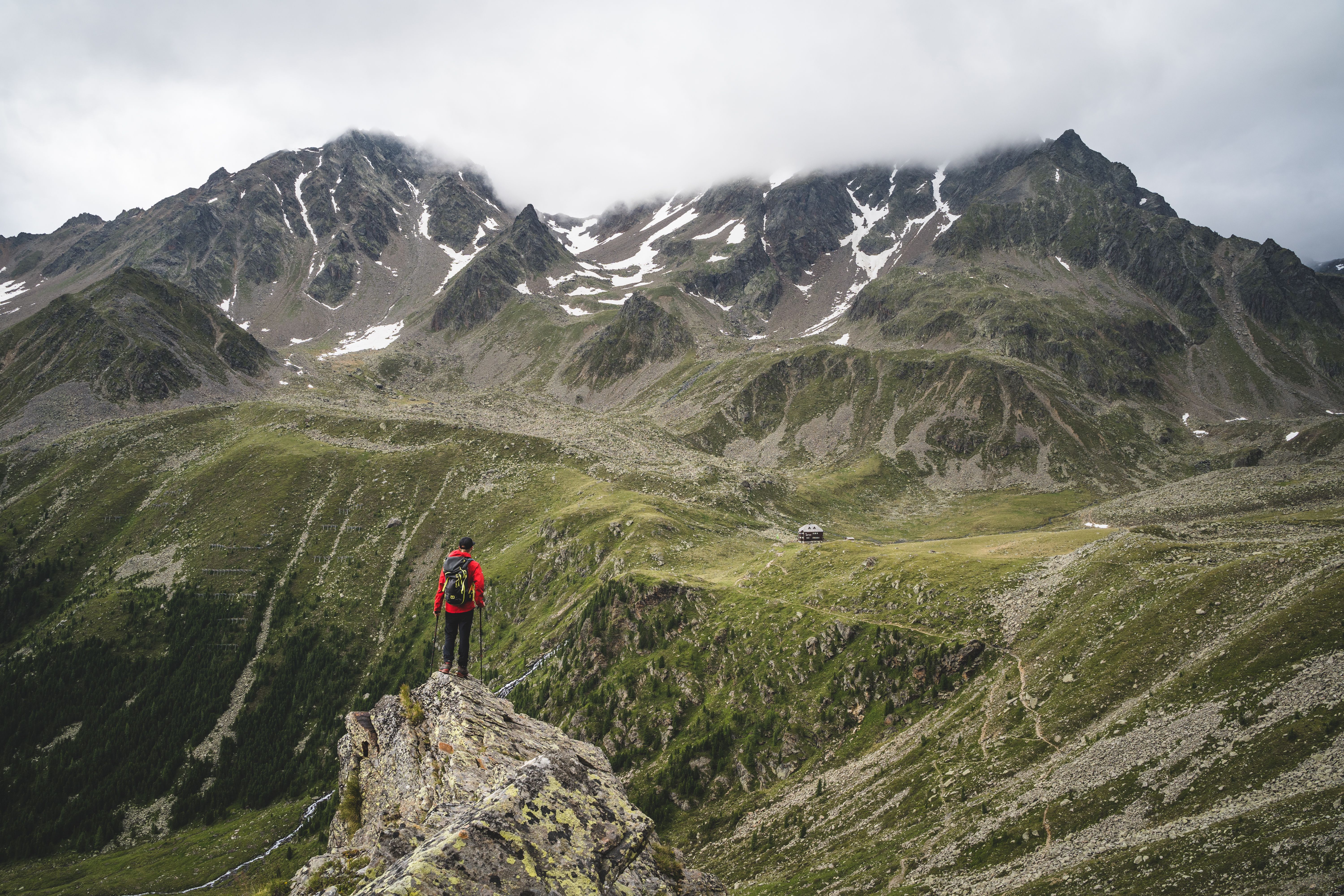
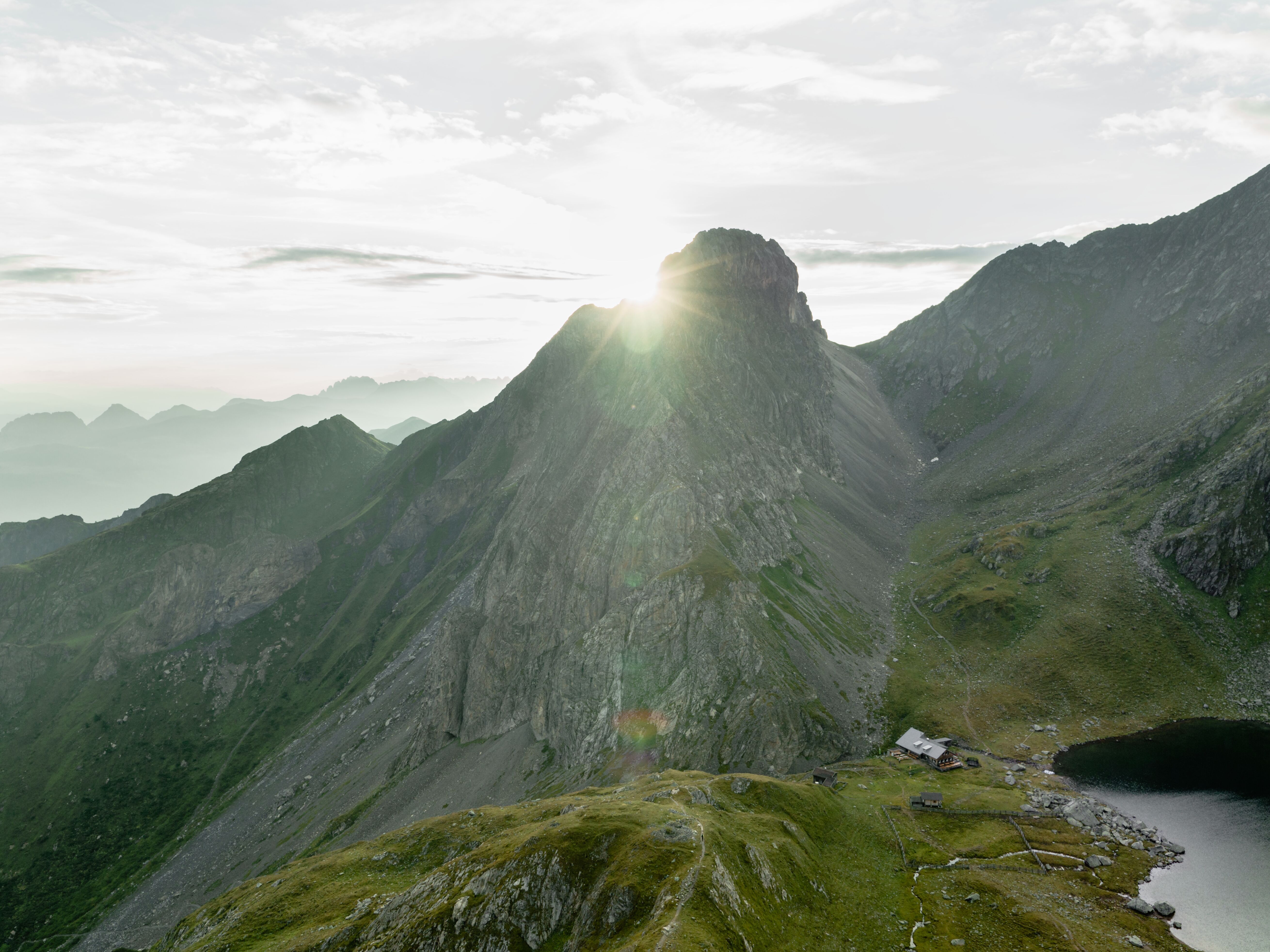
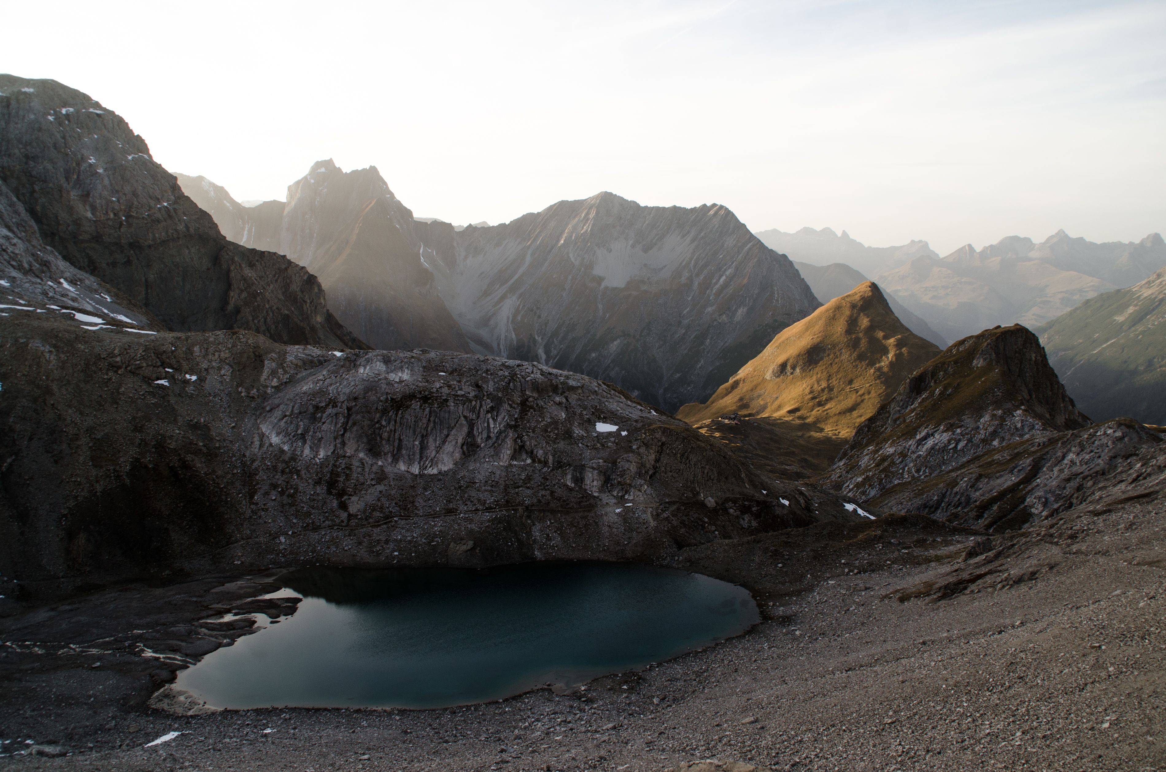
Looking towards the Finstertaler Stausee reservoir, © Tirol Werbung/Bernhard Aichner

Three-Day Trek: Hochoetz - Kühtai - Finstertaler Scharte - Umhausen

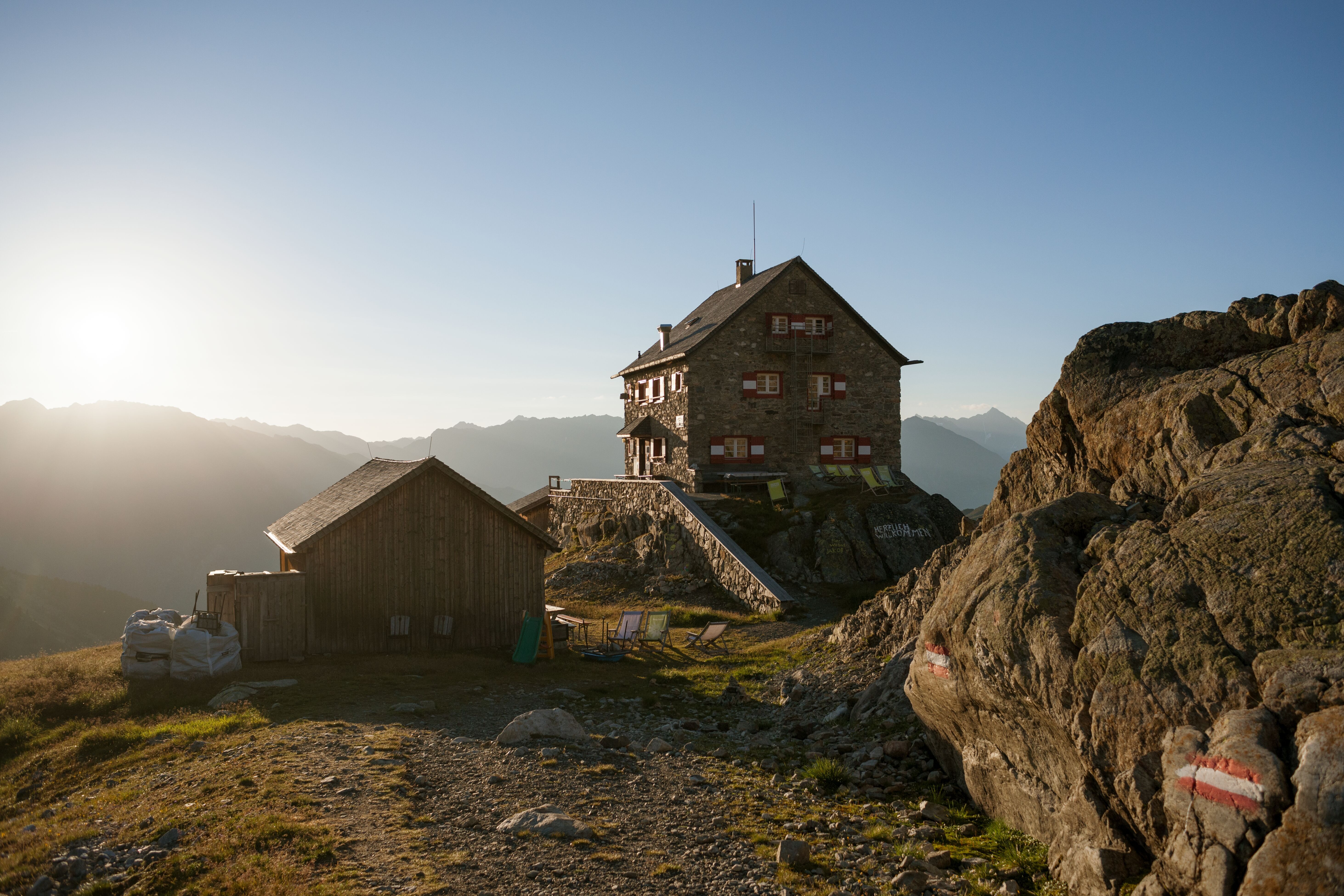
This three-day trek across the awesome Ötztal Alps is of moderate difficulty and provides access to pristine and remote places and many natural wonders along the way. Sweeping vistas of the ice giants of the Ötztal Alps and of Tirol’s highest waterfall capture the sheer greatness of the Alps themselves. This trek is relatively demanding, especially in the extremely rugged terrain of its upper ranges. It requires good overall fitness and sure footing. Make sure you have appropriate footwear and exercise due caution. Overnight accommodation high in the Alps is provided at the Dortmunder Hütte (1,948 metres) and the Schweinfurter Hütte (2,028 metres).

Open interactive map

Starting point  

Oetz, Acherkogelbahn gondola top terminal (2,020m)

Hike to

Dortmunder Hütte, Schweinfurter Hütte

Finishing point

Umhausen

Mountain chain

Stubai Alps

Length

32 km

Duration

3 day(s)

Features

  • Wheelchair-accessible Hiking Route
  • Circular hike

Difficulty rating

intermediate (red mountain trails)

Altitude

2,777m 1,032m

Elevation uphill 1,315m
Vertical metres downhill 2,305m

Fitness level

Technique

Best time of year

Jan
Feb
Mar
Apr
May
Jun

Jul
Aug
Sep
Oct
Nov
Dec

* These are approximate values and recommendations. Please take your personal fitness level, technical ability and the current weather conditions into account. Tirol Werbung cannot guarantee that the information provided is correct and accepts no liability.

Public transport

  • Accessible using public transport

Parking

Parking at the bottom of the Acherkogelbahn cable car in Oetz


Places serving food & drink

  • Stage 1: Panoramarestaurant Hochoetz (June until mid-October), Kühtaile Alm (June until mid-October, mid-December until mid-April), Balbachalm (June until mid-October), Dortmunder Hütte (December until April, June until October)
  • Stage 2: Schweinfurter Hütte (December until April, June until October)
  • Stage 3: Larstigalm (May until October), Gasthof Hoamatl in Niederthai, Gasthof Stuibenfall near the waterfall, Gasthof Krone, Gasthof Andreas Hofer and Ötztalerei in Umhausen

Downloads

Trail description

Day 1: Oetz – Hochoetz (by gondola) – “Knappenweg” (Miners' Trail) – Dortmunder Hütte
Uphill/downhill: 369/442 vertical metres, walking time: 3.5 hours, distance: 11.1 kilometres, highest point: 2,087 metres, difficulty: easy

From Oetz, the Acherkogelbahn gondola conveniently whisks you up to the top terminal at 2,020 metres above sea level. From there follow the signs for "Knappenweg" and "Höhenwanderweg" on a gentle downhill stroll along a dirt road that winds through meadows, past the Kühtaile Alm hut (1,980 metres) and walk towards "Balbachalm" at the fork in the trail. The route again passes Kühtaile Alm (this time slightly below the hut) and takes you down to Balbachalm. This is where the trail turns onto a singletrack trail ("Knappenweg", "Höhenweg") that takes you through a fragrant stone pine forest before gently ascending a slope that leads into the valley. At the Zwölferköpfl peak, the trail descends to the entrance of Wörgetal Valley. Remnants of ancient walls can be found at the Obere Issalm hut, along with interesting information panels that were installed at this lovely place to rest. Turn right there and follow signs for “Knappenweg” and “Knappenhaus”. A short climb takes you through Wörgetal Valley to the restored miners' home with its stamp mill. The idyllic Pochersee lake (1,987 metres) is located below the building on the right-hand side. Return the same way until you get to the resting place – this time, though, turn right and follow the sign for "Dortmunder Hütte". In this portion of the walk, the trail has many ups and downs as it skirts the slope (in some sections, steps made of wooden planks have been installed to facilitate walking). Later, the trail passes the Mittergrathütten huts (2,000 metres) on its way down into Mittertal Valley. There, follow the signs indicating “Kühtai”. The path soon widens to a dirt road that gently meanders down to the Längental reservoir; turn right and skirt the lake before reaching the dam, pass the power station and bear left with an easy climb taking you to the Kühtaier Straße road. Cross the road and take the path/dirt road that leads to the Dortmunder Hütte on the outskirts of the village resort of Kühtai. This walk partly coincides with the Miners' Trail (learning trail) and mostly travels through awesome, wide open alpine terrain that is dotted with stone pines.

Day 2: Dortmunder Hütte – Finstertaler Scharte – Schweinfurter Hütte
Uphill/downhill: 860/771 vertical metres, walking time: 5.5 hours, distance: 9.7 kilometres, highest point: 2,777 metres, difficulty: intermediate

From the Dortmunder Hütte, located next to the Kühtaier Straße road on the outskirts of Kühtai, follow the signs indicating "Finstertaler Scharte" and "Schweinfurter Hütte". Take the road first, then turn right and follow the way-marked trail that takes you up the ski runs. Once you come out onto wide open alpine meadows, the trail is an easy stroll without ups and downs. Walk to the road that accesses the reservoir; cross it and continue walking on the track that gently ascends to the dam. Later, a vigorous climb will take you up. The track merges with the access road; keep on this road and take advantage of all possible short-cuts. The road eventually takes you to the crown of the dam and to the lake itself (keep right at the last fork). From there, follow the footpath that skirts the lake to the south; take the first fork to the left and climb the wide open and steep talus slopes. You’ll reach a flat floor at the entrance to a basin dotted by scree and talus. Turn right and climb through rugged and steep terrain to Finstertaler Scharte ridge (2,777 metres). On the descent from the ridge you will pass the wide open meadows of the Weites Kar cirque and have your first view of the Schweinfurter Hütte hut. From the cirque, a steep series of switchbacks take you down through meadows to the hut (2,028 metres).

Day 3: Schweinfurter Hütte – Niederthai – Stuibenfall – Umhausen
Uphill/downhill: 86/1,091 vertical metres, walking time: 4 hours, distance: 11.3 kilometres, highest point: 2,028 metres, difficulty: intermediate

From the hut, walk out of the valley on the forest road for about 200 metres and bear left when the trail “Niederthai, 142” branches off. This route will take you along the valley floor and through alpine pastures until you reach the forest road again. Another 1.5-kilometre walk along this road will bring you to the Larstigalm hut (1,777m). A few hundred metres on, keep walking through to the other side of the valley where another road (“Bergmahdweg, Niederthai 50 min”) gently winds down to Niederthai (1,358 metres) through meadows and groves. Leave this road at the height of the church and descend to the village on a short singletrack trail. Having reached the first houses of Niederthai, take the right fork at Sennhof beneath the village and wander through meadows until you get to Gasthof Stuibenfall inn. Follow signage for “Stuibenfall”. This track is well maintained and takes you down to the Ötztal Valley. View the rushing waters of Stuibenfall, Tirol’s tallest waterfall, cascading down over cliffs, weather-scarred rocks and moss-covered boulders in a foaming, spewing onrush of unrestrained energy. There are various viewpoints along the trail, very close to the rushing water. At the end of the trail keep to the road left of the brook and stroll to the centre of Umhausen, passing the Ötzi Village.

The bus stop for the journey back to Oetz is located at the fire department building close to the parish church.

Information on place

Arrival date

How to get here by plane, train, bus or car.

Ihr Ziel: Three-Day Trek: Hochoetz - Kühtai - Finstertaler Scharte - Umhausen (47.2124,10.93155)

powered by Rome2Rio

Search accommodation

Number of travelers

Hiking trails in this region

show more +

How did you like this article?

Want to receive an answer? If so, please get in touch using the contact form.

Go up

Is your inbox in need of a holiday?

Then subscribe to our weekly newsletter full of exclusive holiday tips from Tirol!