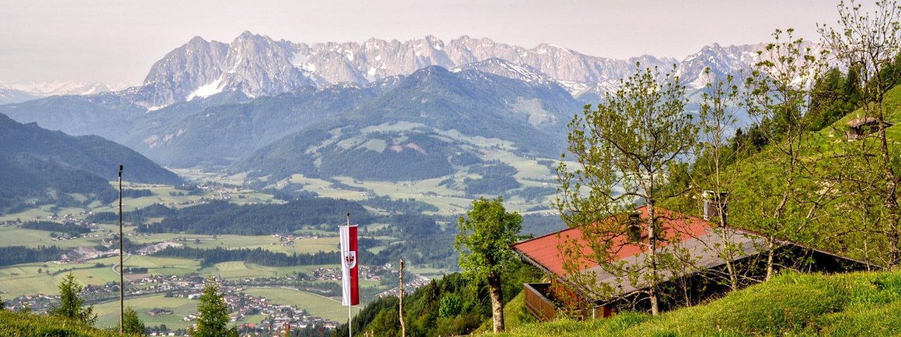
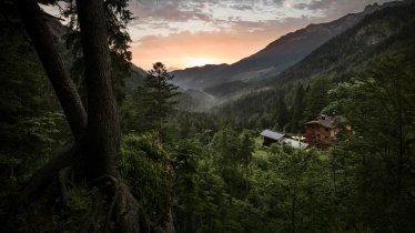
Situated between the peaks of the Rauhe-Nadel-Kopf (1,266 metres) and the Sonnwendköpfle (1,278 metres) in the area where Tirol and Bavaria converge, the Taubensee lake is a hidden jewel. The "Eye of Chiemgau", as it is known, takes its name not from doves ("Tauben" in German) but instead from the many crabs native to this lake, which used to be called "Dauppen". This hike begins in Kössen and leads up into the mountains. Shortly before reaching the lake itself you will pass the Taubenseehütte, a cosy hut serving excellent food and offering fabulous views of the Wilder Kaiser Mountains and beyond. At the lake there is the option of an extra loop up to the top of the nearby Sonnwendköpfle mountain. All in all this hike is easy and therefore good for families with children.

Summit Hike
Starting point
Village centre, Kössen
Hike to
Taubensee, Sonnwendköpfle (1,278 m)
Finishing point
Village centre, Kössen
Mountain chain
Chiemgau Alps
Length
13.7 km
Total hiking time
6 h 30 min
Features
- Wheelchair-accessible Hiking Route
- Circular hike
Difficulty rating
intermediate (red mountain trails)
Altitude
Elevation uphill 900m
Vertical metres downhill 900m
Fitness level
Technique
Best time of year
* These are approximate values and recommendations. Please take your personal fitness level, technical ability and the current weather conditions into account. Tirol Werbung cannot guarantee that the information provided is correct and accepts no liability.
Public transport
- Accessible using public transport
Parking
Village centre, Kössen (parking at VZ Kaiserwinkl, Postweg 6)
Places serving food & drink
- Mühlbergalm (open all year round, closed Tuesdays and Wednesdays)
- Taubenseehütte (open every day from mid-April until November, closed Mondays; only open on weekends in winter)
- Stoibenmöseralm (open every day from mid-May until 3 October; only open on weekends with good weather in autumn)
- Various locations in Kössen
Downloads
Trail description
The hike begins in the centre of Kössen and initially leads along the narrow Mühlbergweg road in an easterly direction before heading north to the hamlet of Mühlberg. There, hikers pass the Schafflerhof car park and take a field path leading into a forest. The path then leaves the forest and heads through meadows, past the Ast-zu-Moosen-Alm hut and the Hirzingalm hut towards the Taubensee lake. Before reaching the lake you will pass the Taubenseehütte hut (1,165 metres), a good place to stop off for a drink and a snack. The hike then continues for a while along the Austrian-German border until, after around ten minutes, you get to the Taubensee lake. Here you have the option of heading back the way you came or, if you still have a little energy left, climbing the nearby Sonnwendköpfle mountain (1,278 metres). Continue along the northern side of the lake, head uphill in a north-easterly direction and, at the fork in the trail on the edge of the forest, turn sharp right. You will then continue through pastures and meadows following the signs for the "Sonnwendköpfle". At the top of the mountain you can look forward to wonderful views looking south to the Wilder Kaiser Mountains and beyond. Follow the trail in a westerly direction, past the Taubensee lake and back to the Taubenseehütte hut. From there, return along the way you came back to Kössen.
Shorter option: Start from the car park at the Schafflerhof (850 metres and walk to the Taubensee lake (1,138 metres)


