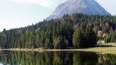
This wonderful high alpine summit hike leads along a moderately difficult route first to the Pleisenhütte (1,757 metres) and then onwards to the Pleisenspitze (2,569 metres). There are a good 1,600 vertical metres of uphill to complete, including a few technical sections, but the reward for all that hard work comes in the form of a wonderful panorama at the top of the mountain. The Pleisenhütte, built in the 1950s, is a highlight in its own right and enjoys a fabulous location. Just a little further up the mountain you will find the Vorderkarhöhle cave. It is there that Toni Gaugg, the first person to run the Pleisenhütte when it was built, found a well-preserved 7,000-year-old skeleton of an elk.

Summit Hike
Starting point
Scharnitz
Hike to
Pleisenspitze
Finishing point
Scharnitz
Mountain chain
Karwendel Mountains
Length
20.9 km
Total hiking time
11 h 9 min
Features
- Wheelchair-accessible Hiking Route
- Circular hike
Difficulty rating
difficult (black trails)
Altitude
Elevation uphill 1,625m
Vertical metres downhill 1,625m
Fitness level
Technique
Best time of year
* These are approximate values and recommendations. Please take your personal fitness level, technical ability and the current weather conditions into account. Tirol Werbung cannot guarantee that the information provided is correct and accepts no liability.
Public transport
- Accessible using public transport
Bus route 432, get off at stop Schnarnitz Gemeindeamt. Railway station: Scharnitz
Parking
Parking available in Länd (Hinterautalstraße) and other locations
Places serving food & drink
- Scharnitzer Alm (mid-May until early October)
- Gasthaus Wiesenhof
- Pleisenhütte (early June until mid-October)
Downloads
Trail description
The hike begins at the parish church in Scharnitz. Cross the bridge over the Isar. Once on the left-hand side of the river, turn onto the Innrain road into the valley. After less than a kilometre, the path joins up with the Hinterautalstraße. Follow this road until you reach Gasthof Wiesenhof. Shortly before you get to the Gasthof Wiesenhof you will find a forest path on the left leading through the forest to the foot of the mountain. Once there, branch off to the right. After a section with lots of mountain pine trees you will reach the Pleisenhütte (1,757 metres). Behind the hut, a path leads diagonally up into the Vorderkar and on through an interesting karst landscape with a network of caves. From here, turn right onto the Pleisen. To the west of the ridge you will reach the mighty summit of the Pleisenspitze with its magnificent views.
Return along the way you came.


