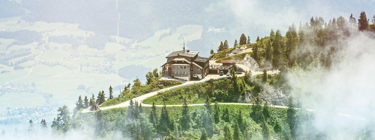
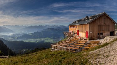
Towering above the town of Kufstein, the Pendling offers some of the best views in the Tirolean Unterland, the name given to the region east of Innsbruck. This moderately difficult hike begins in the village of Thiersee and rewards walkers with a fantastic panorama taking in not only the town of Kufstein but also large stretches of the Inn Valley and the surrounding mountains. The Pendling is also known for its wonderful flowers in late spring.

Summit Hike
Starting point
Thiersee, Gasthof Schneeberg
Hike to
Pendlinghaus
Finishing point
Thiersee, Gasthof Schneeberg
Mountain chain
Brandenberg Alps (Rofan)
Length
8.5 km
Total hiking time
4h
Features
- Wheelchair-accessible Hiking Route
- Circular hike
Difficulty rating
intermediate (red mountain trails)
Altitude
Elevation uphill 690m
Vertical metres downhill 690m
Fitness level
Technique
Best time of year
* These are approximate values and recommendations. Please take your personal fitness level, technical ability and the current weather conditions into account. Tirol Werbung cannot guarantee that the information provided is correct and accepts no liability.
Public transport
- Accessible using public transport
Bus route 4046, get off at stop Thiersee Pfarrwirt Mitterland
Parking
Parking available at the Gasthof Schneeberg
Places serving food & drink
- Pendlinghaus (late April until early November)
- Kala-Alm (open in summer and winter; closed on Mondays)
- Gasthof Schneeberg
Downloads
Trail description
From the car park at the Gasthof Schneeberg in Thiersee, a hiking trail well signposted towards "Pendling" leads into the forest. After about 15 minutes, leave the forest road at a bend to the right and follow a narrow path with a signpost marked "Pendling via Waldweg". After a good hour you will reach the first summit crucifix of the Pendling at 1,563 metres above sea level. The route continues almost flat to the second summit and slightly downhill to the Pendlinghaus. From there, the trail leads gently up and down to the Mittagskopf (1,542 metres).
The descent is via a forest path and a small forest path via the Kala-Alm (food & drink served) back to the starting point.


