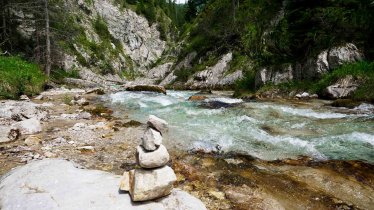
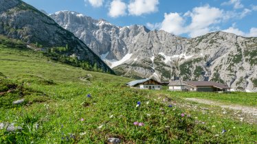
This easy day hike is perfectly suitable for families. The 10-kilometre-long route takes walkers from Leutasch through magnificent old forests, dropping into the scenic Gaistal Valley. Wedged between the colossal walls of the Mieming Mountains to the south and craggy Wetterstein Massif to the north, this valley is set in a truly electrifying environment flanked by wildflower-carpeted meadows and centuries-old trees, both deciduous and coniferous. The route passes quaint alpine huts such as the Gaistalalm and the Tillfußalm where you will be warmly welcomed with hearty local dishes.


Mountain Hike
Starting point
Leutasch – car park at Salzbachbrücke bridge
Hike to
Gaistalalm, Tillfussalm
Finishing point
Leutasch – car park at Salzbachbrücke bridge
Mountain chain
Wetterstein Mountains
Length
10.2 km
Total hiking time
3h
Features
- Wheelchair-accessible Hiking Route
- Circular hike
Difficulty rating
easy (hiking trails)
Altitude
Elevation uphill 244m
Vertical metres downhill 244m
Fitness level
Technique
Best time of year
* These are approximate values and recommendations. Please take your personal fitness level, technical ability and the current weather conditions into account. Tirol Werbung cannot guarantee that the information provided is correct and accepts no liability.
Public transport
- Accessible using public transport
Bus route 430, get off at stop Leutasch Gaistal/Salzbach
Parking
Leutasch, Salbachbrücke car park
Places serving food and drink
- Gaistalalm (January until October)
- Tillfußalm (mid-May until early October)
- Der Leutascherhof, Alte & neue Mühle, Restaurant Weidachstube in Leutasch
Downloads
Trail description
Trailhead of this walk is the Salzbachbridge car park in Leutasch. Follow the signs to “Gaistalalm, Tillfußalm” into the scenic Gaistal Valley. Take the broad road into the Gaistal Valley for some 300 metres, then take the right-hand fork onto the Ganghoferweg Trail. The first section of the trail is a steep climb, followed by a gradual ascent through groves and woodlands. The trail, edged by verdant meadows and alpine pastures, passes below the Hämmermoosalm hut and heads towards the end of the valley. The path then crosses the Leitenbach stream and descends a few metres down to the Gaistalalm hut. Continue in the same direction across alpine pastures on your way to the Tillfussalm hut. The circular route continues downhill for a short distance until you get to the wide forest road leading into the Gaistal Valley. Follow this and walk out of the valley until you reach the starting point at the Salzbachbrücke bridge. The walk can also be completed in the opposite direction.


