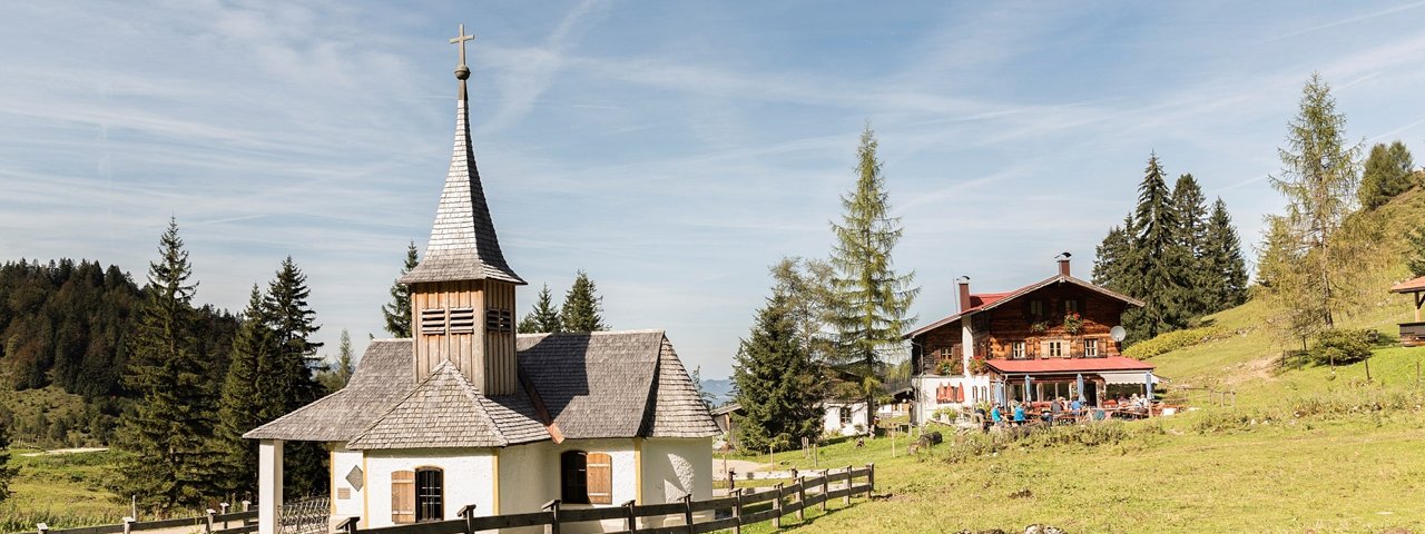
To the east of Kufstein, between the Wilder Kaiser and the Zahmer Kaiser Mountains, there is a small chain of peaks topped by the Gamskogel (1,449 m) as its highest summit. From the top hikers can enjoy wonderful views of the Kaisertal Valley and the northern slopes of the Wilder Kaiser Mountains. This hike of intermediate difficulty leads from the Brentenjoch ridge through lush meadows and pastures to the top of the easy-to-climb Gamskogel mountain and then on to the Kraindlhütte hut. This area is popular with walkers and hikers all year round. From late February until early May, the Brentenjoch ridge and the Gamskogel mountain can be explored on snowshoes. Between early May and late October there is a chairlift onto the Brentenjoch ridge (1,256 m).

Summit Hike
Starting point
Kufstein, bottom of Kaiserlift chairlift
Hike to
Brentenjoch, Gamskogel, Kaindlhütte
Finishing point
Kufstein, bottom of Kaiserlift chairlift
Mountain chain
Kaiser Mountains
Length
9.5 km
Total hiking time
4h
Features
- Wheelchair-accessible Hiking Route
- Circular hike
Difficulty rating
intermediate (red mountain trails)
Altitude
Elevation uphill 550m
Vertical metres downhill 550m
Fitness level
Technique
Best time of year
* These are approximate values and recommendations. Please take your personal fitness level, technical ability and the current weather conditions into account. Tirol Werbung cannot guarantee that the information provided is correct and accepts no liability.
Public transport
- Accessible using public transport
Parking
"Kaisertal-Parkplatz" car park in Eichelwang or at the bottom of the "Kaiserlift" chairlift
Places serving food & drink
- Brentenjochalm (late May until late September)
- Steinbergalm (detour)
- Kaindlhütte
- Weinbergerhaus (closed on Monday)
Downloads
Trail description
Take the chairlift from Kufstein up onto the Brentenjoch ridge (1,256 metre) and follow the signs for “Kaindlhütte”. A forest road leads downhill. Follow this road past the Brentenjochalm hut until you get to the fork towards “Gamskogel”. This path gradually climbs up to the summit of the 1,449-metre-high Gamskogel mountain. The route continues through open pastures and eventually reaches the Kaindlhütte hut. The walk from the Brentenjoch ridge to the Kaindlhütte hut takes roughly 2½ hours to complete. A one-hour walk on a forest road brings you back to the top of the chairlift on the Brentenjoch ridge.
Tip! Atop the Brentenjoch ridge, where this walk begins, we recommend taking a little time to admire the view of the mountains. This vantage point has a high-tech Eagle View telescope providing information on each peak visible.


