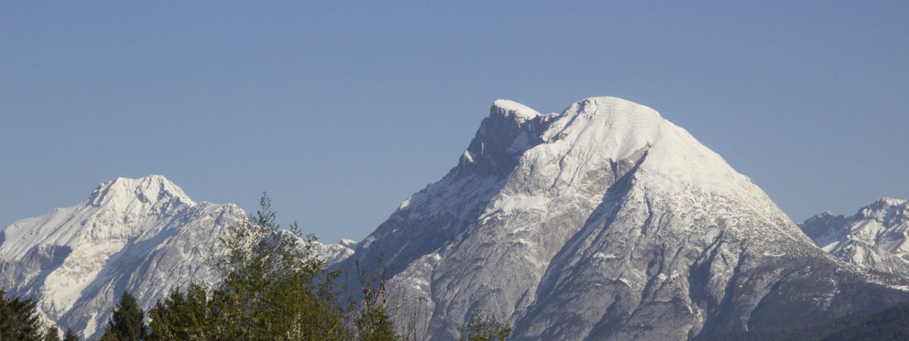
This walk invites locals and visitors alike to explore an area known first and foremost thanks to Austrian writer Ludwig Ganghofer, who gave his name to the "Ganghofer-Weg" trail which forms part of the route. It begins at the Gaistaler Salzbachbrücke bridge at 1,235 metres above sea level, leads along the banks of the Leutascher Ache river and finishes atop the ridge of the Niedere Munde mountain (2,059 metres), where fine views of the Inn Valley and the Stubai Alps await. The return leg is either along the way you came or, alternatively, via two mountain huts serving food and drink: the Gaistalalm and the Hämmermoosalm. The walk is not particularly difficult – the only tricky section is the last bit up onto the ridge of the Niedere Munde, where the trail is narrow and demands sure footing and sturdy footwear.

Mountain Hike
Starting point
Salzbachbrücke bridge, Gaistal
Hike to
Niedere Munde, Gaistalalm, Hämmermoosalm
Finishing point
Salzbachbrücke bridge, Gaistal
Mountain chain
Wetterstein Mountains
Length
16.5 km
Total hiking time
7h
Features
- Wheelchair-accessible Hiking Route
- Circular hike
Difficulty rating
intermediate (red mountain trails)
Altitude
Elevation uphill 969m
Vertical metres downhill 969m
Fitness level
Technique
Best time of year
* These are approximate values and recommendations. Please take your personal fitness level, technical ability and the current weather conditions into account. Tirol Werbung cannot guarantee that the information provided is correct and accepts no liability.
Public transport
- Accessible using public transport
Bus route 430, get off at stop Leutasch Gaistal
Parking
Car park at th Salzbachbrücke bridge
Places serving food & drink
- Gaistalalm (mid-May until October, mid-December until mid-March)
- Hämmermoosalm (May until October, mid-December until mid-March)
- Various locations in Leutasch, including Hotel Zugspitze, Gasthof zur Mühle, etc.
Downloads
Trail description
The adventure begins at the car park next to the Salzbachbrücke bridge in the Gaistal Valley (approximately two kilometres west of the settlement of Klamm). After a steep start, the trail levels out as it heads towards the Gaistalalm hut. The route runs parallel to the Leutascher Ache river. After around an hour of hiking you will reach the Gaistalalm hut (1,366 metres). It is also known as the "Leutascher Alm", though the village of Leutasch is actually around seven kilometres away. Continue past the Gaistalalm on your right-hand side and head in a westerly direction towards the Niedere Munde mountain. Cross the Kotbachbrücke bridge and, 400 metres later at the fork in the trail, take the left-hand fork and cross over the Leutascher Ache river (if you take the other fork you will head straight on to the Tillfußalm hut serving food and drink, where you will also find the hunting lodge where Ludwig Ganghofer wrote several of his books). Continue uphill, through forest terrain, to the Niedere Munde mountain (2,059 metres). The ridge on this mountain forms the link between the Hohe Munde and the other mountains in the Mieming Chain. Climb up for a futher 15 minutes or so to get to an area of open pastureland where you can enjoy any provisions you have brought with you. The route back heads past the Gaistalalm and along a large section of the "Ganghofer-Weg" trail to the Hämmermoosalm hut (1,417 metres) all the way back to the starting point.
It is also possible to descend along precisely the route you came.


