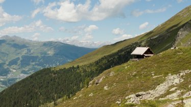
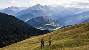
This wonderful circular walk in the Kaunergrat Nature Park traverses the alpine pastures above the Kaunertal Valley and is an area of awesome natural beauty rich in wildlife and fauna. Enjoy the nature park in a nutshell on this walk through some of the area’s most characteristic landscapes and stop for a snack and drink at the Falkaunsalpe hut. Throw in great views and you’ve got the flavour of this walk.

Meadow Hike
Starting point
Falkaunsalm
Hike to
Galruttalm, Gallruthstollen
Finishing point
Falkaunsalm
Mountain chain
Ötztal Alps
Length
6.6 km
Total hiking time
2 h 30 min
Features
- Wheelchair-accessible Hiking Route
- Circular hike
Difficulty rating
easy (hiking trails)
Altitude
Elevation uphill 290m
Vertical metres downhill 290m
Fitness level
Technique
Best time of year
* These are approximate values and recommendations. Please take your personal fitness level, technical ability and the current weather conditions into account. Tirol Werbung cannot guarantee that the information provided is correct and accepts no liability.
Public transport
- Accessible using public transport
Parking
Falkaunsalm
Places serving food & drink
- Falkaunsalm (mid-June until mid-September)
- Gallruthalm (early June until mid-September)
Downloads
Trail description
From the village of Kaltenbrunn in the Kaunertal Valley there is a road leading directly to the Falkaunsalm hut. Walkers can park there and pay a visit to the hut to try sample of the delicious mountain cheese. The hike then begins along a trail heading in a south-easterly direction through a dense forest, first downhill and then uphill. After reaching the Gallruthalm at 1,980 metres above sea level, another good place to stop for a rest, it is time for the exciting downhill section through the "Gallruthstollen" tunnel next to the Gallruthbach stream. This tunnel was used many years ago to transport water and takes around 30 minutes to walk through. The final section leads along a path in a north-westerly direction gently uphill to the Falkaunsalm.


