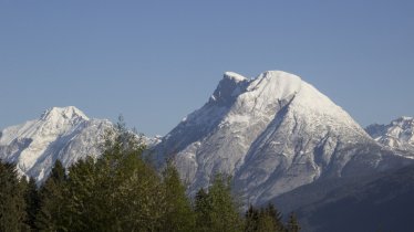
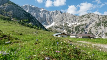
People are happy to travel miles for a portion of delicious "Graukäse" cheese - for example, 11 kilometres by mountain bike from Scharnitz to the Mösl Alm. Alternately, you can walk to this beautiful alpine farm located on the northern slopes of the Nordkette Mountains. It is, of course, not the cheese alone that draws so many people to the Mösl Alm. Another factor is the stunning nature combining vast forests, bubbling streams, steep rock faces, wild and romantic canyons and gentle meadows.

Alpine Walk
Starting point
Scharnitz, car park close to the church
Finishing point
Scharnitz, car park close to the church
Length
22.4 km
Total hiking time
6h
Features
- Wheelchair-accessible Hiking Route
- Circular hike
Altitude
Elevation uphill 929m
Vertical metres downhill 929m
Parking
Parking available at the entrance to the Karwendeltäler Valleys
Downloads
Trail description
The Mösl Alm is best accessed from Scharnitz, where there is a large pay-and-display car park near the church. The trail leads alongside the Isar River from here into the Karwendel Valleys.
Simply turn around and follow the same route back for your return journey. If the return journey is too far, just call one of the Karwendel taxi shuttle services.


