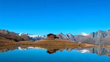
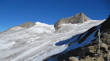
This circular hike leads through high-alpine landscape from the Lucknerhaus at the end of the Kals Glockner Road to the Glorer Hütte at the foot of the Großglockner, Austria's highest peak. The hut also marks the starting point of the Geomorphological Learning Trail, a walking route with information stations telling visitors about the wonderfully diverse flora and fauna of the Hohe Tauern Mountains. The hike has no major technical difficulties and is relatively easy to negotiate, though walkers should be sure-footed.

Circular Hike
Starting point
Lucknerhaus in Kals
Hike to
Glorer Hütte
Finishing point
Lucknerhaus in Kals
Mountain chain
Schober Mountains
Length
11 km
Total hiking time
5 h 15 min
Features
- Wheelchair-accessible Hiking Route
- Circular hike
Difficulty rating
intermediate (red mountain trails)
Altitude
Elevation uphill 750m
Vertical metres downhill 750m
Fitness level
Technique
Best time of year
* These are approximate values and recommendations. Please take your personal fitness level, technical ability and the current weather conditions into account. Tirol Werbung cannot guarantee that the information provided is correct and accepts no liability.
Public transport
- Accessible using public transport
Bus route 952, get off at stop Kals a. G. Lucknerhaus
Parking
Lucknerhaus (at the end of the Kals Glockner Road)
Places serving food & drink
- Glorer Hütte (second half of June until late September / early October)
- Lucknerhaus (late May until mid-October)
Downloads
Trail description
This hike begins at the Lucknerhaus (1,920 metres) at the end fo the Kals Glockner Road. From the first information station of the Geomorphological Learning Trail, follow the signs for the "Glorer Hütte" and head south to the Schliederle-Alm (you will cross under the small cable car used to transport provisions up to the hut). Right at the start of the hike you will be greeted by fine views of the Ködnitztal Valley, with the Großglockner mountain towering high above. Continue along the Bergerbach stream, underneath the material cable car, along the learning trail heading uphill. Take your time to read the information boards about the flora and fauna of the region.
The trail heads in a north-eastern direction between the Medelspitze and the Kasteneck mountains. After around two hours of walking you will reach the Glorer Hütte (2,642 metres). This hut is located at the Berger Törl on the edge of the Hohe Tauern National Park and offers fabulous views of the Glockner Mountains, Venediger Mountains and Granatspitz Mountains. After a rest (or indeed an overnight stay in one of the comfy beds at the hut) the adventure continues in a south-westerly direction along the Wiener Höhenweg (Vienna High Trail) over the western flank and along the southern slopes of the Kasteneck mountain to the Wetterkreuz and the Peischlachtörl (2,484 metres). This section can be slippery after rainfall or early in the season when there is still snow on the ground. From the Peischlachtörl follow the Peischlachbach stream into the valley, heading south, until you reach a signpost pointing to the Lesachriegelhütte. Ignore the fork in the trail and instead continue straight on. The stream disappears and you will soon pass a wooden gate. You will then pass a stables building, which marks the point at which you leave the borders of the Hohe Tauern National Park. Still, the landscape remains wonderful as you wind your way down along a series of switchback corners to the lush meadows and pastures near the Niggl-Alm hut (2,004 metres), where you will find a natural spring to fill up your water bottle. A wider trail leads from there through the forest and across the Bergerbach stream. Finally, there is a short uphill section to the Kals Glockner Road- After around 200 metres heading north you will get back to the Lucknerhaus.
Tip! The Lucknerhaus can be reached from Lienz-Huben by bus.


