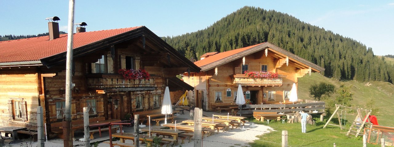
This hike of intermediate difficulty leads through lush meadows and past a thundering waterfall in the southern Chiemgau Alps all the way up to 1,400 metres above sea level. Highlights include not only fine views of the Kaiser Mountains but also delicious local food such as homemade cheese at the Burgeralm (1,317 metres). We also recommend a visit to the Wandberghütte (1,350 metres) and the Wandberg mountain (1,454 metres). The hike begins and ends in the village of Walchsee (658 metres). Sturdy footwear and good overall fitness are required.

Mountain Hike
Starting point
Walchsee, village square
Hike to
Lochner Wasserfall, Burgeralm, Brennkopf
Finishing point
Walchsee, village square
Mountain chain
Chiemgau Alps
Length
12.2 km
Total hiking time
5 h 30 min
Features
- Wheelchair-accessible Hiking Route
- Circular hike
Difficulty rating
intermediate (red mountain trails)
Altitude
Elevation uphill 789m
Vertical metres downhill 789m
Fitness level
Technique
Best time of year
* These are approximate values and recommendations. Please take your personal fitness level, technical ability and the current weather conditions into account. Tirol Werbung cannot guarantee that the information provided is correct and accepts no liability.
Public transport
- Accessible using public transport
Parking
Walchsee, car park next to tourist information office
Places serving food & drink
- Burgeralm (May until October)
- Wandberghütte (May until December)
- Postgasthof Fischerwirt, Walchseer Hof and other locations in Walchsee
Downloads
Trail description
The hike begins in the village of Walchsee, in front of the parish church. From there, head north across the village aquare and then right into the Hausbergstraße road. Follow the road for around one kilometre to the football pitch (690 metres). Here, continue north to the settlement of Winkl. Then follow the signs for "Wandberghütte" and "Wasserfall". The trail heads into the forest on the right-hand side of the Kohlenriedbach stream before climbing uphill via a series of switchbacks. In the forest, cross two streams in a westerly direction and, just a little later, you will reach the Lochner Wasserfall (940 metres), an impressive waterfall. A little further up the mountain you can enjoy a fine view of the nearby lake. Heading south, the trail intersects with a larger dirt road. Follow this twisting road, which ends up heading north. Take a turning off the road and head in a northerly direction on the left-hand side of the Kohlenriedbach stream until you reach the Burgeralm. This is a good place to stop for a rest. If you still have enough energy, continue for a few hundred metres to the Wandberghütte. Alternatively, you can continue from the Burgeralm in a westerly direction to the Wandberg mountain – or past the Wandberg mountain along trail 54 to the Brennkopf mountain (1,353 metres) with its fantastic views. From this mountain, take the westerly trail, then head south through open terrain past the Brennköpfl (1,255 metres) into the forest. Continue to the settlement of Winkl and then follow the banks of the Rahmbach stream back to the starting point in Walchsee.


