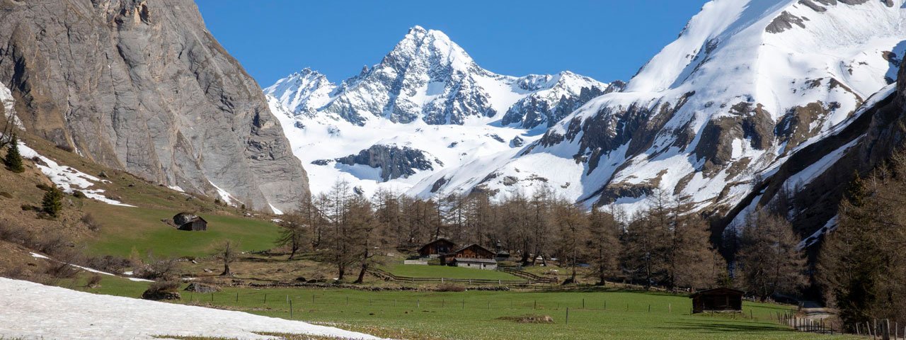
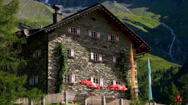
Early in the year, when the mighty Großglockner mountain is still covered in a thick coat of snow, further down in the valley the first signs of spring are already on display. This hike leads from the Lucknerhaus lodge up into the Ködnitztal Valley, into the Hohe Tauern National Park. The landscape is characterised by thin larch forests at lower altitudes and lush meadows further up, eventually giving way to rocky mountain peaks such as that of the Freiwandspitze. As you walk into the valley you will be accompanied all the way by the rushing Ködnitzbach river. Some sections of the walk are relatively steep, but the trail is good and suitable for people of all ages. At the top awaits the Lucknerhütte, a mighty mountain refuge serving traditional food. Explore the "Glocknerspur-BergeDenken" educational trail on the way back down to the starting point.

Mountain Walk
Starting point
Car park, Lucknerhaus
Hike to
Lucknerhütte
Finishing point
Car park, Lucknerhaus
Mountain chain
Glockner Mountains
Schober Mountains
Length
4.8 km
Total hiking time
2h
Features
- Wheelchair-accessible Hiking Route
- Circular hike
Difficulty rating
easy (hiking trails)
Altitude
Elevation uphill 320m
Vertical metres downhill 320m
Fitness level
Technique
Best time of year
* These are approximate values and recommendations. Please take your personal fitness level, technical ability and the current weather conditions into account. Tirol Werbung cannot guarantee that the information provided is correct and accepts no liability.
Public transport
- Accessible using public transport
Parking
Car park, Lucknerhaus
Places serving food and drink
- Lucknerhütte (open from late May)
- Lucknerhaus (closed for 2-3 weeks in May)
Downloads
Trail description
The walk begins at the large car park next to the Lucknerhaus (1,920 metres). Follow trail 702B into the valley, towards the mighty Großglockner mountain staring down at the end of the valley. Switch to the left-hand side of the river and simply follow the trail all the way up to the Lucknerhütte (2,241 metres). You will pass the Ködnitzkapelle chapel, thin larch forests and lush meadows. Once the trail moves back onto the right-hand side of the valley, it becomes a little steeper. After a final few corners you reach your destination.
Heaidng back down, it is a good idea to check out the "Glocknerspur-BergeDenken" educational trail set up by the National Park. Shortly before you reach the bridge over the river, take path number 43. This will take you to the educational trail. This route is a little more challenging and has a few sections where walkers need sure footing.


