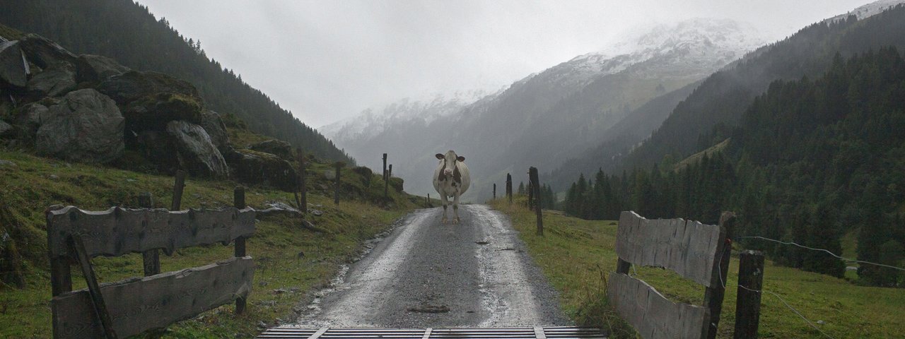
This circular hike in a peaceful part of the Kitzbühel Alps offers fine views but requires good fitness levels. The route begins in Kelchsau and leads through open meadows and pastures onto the Feldalphorn (1,923 metres) mountain, which is famous for its beautiful pink alpine roses in early summer. Indeed, this explosion of colour has given the peak the nickname "the burning mountain". After reaching the rocky summit, hikers continue along a ridge to a second mountain and the highest point of the hike: the Schwaigberghorn (1,990 metres). Both of these peaks offer wonderful views of the Hohe Tauern Mountains, the Zillertal Alps, the Karwendel Massif and the Rofan Mountains. With a total walking time of nine hours, this is a hike which demands an early start.

Summit Hike
Starting point
Kelchsau
Hike to
Feldalphorn, Schwaigberghorn
Finishing point
Kelchsau
Mountain chain
Kitzbühel Alps
Length
18.2 km
Total hiking time
9h
Features
- Wheelchair-accessible Hiking Route
- Circular hike
Difficulty rating
intermediate (red mountain trails)
Altitude
Elevation uphill 1,269m
Vertical metres downhill 1,269m
Fitness level
Technique
Best time of year
* These are approximate values and recommendations. Please take your personal fitness level, technical ability and the current weather conditions into account. Tirol Werbung cannot guarantee that the information provided is correct and accepts no liability.
Public transport
- Accessible using public transport
Parking
Parking at the Hofstattbahn lift in Kelchsau
Places servung food & drink
- Hotel-Restaurant Fuchswirt in Kelchsau
- No places along the hiking route
Downloads
Trail description
Kelchsau can be easily reached by car and, on weekdays, using bus route 4057. Parking is available at a number of sites, including the car park at the bottom of the Hofstattbahn chairlift. From there, head towards the Kehlbachbrücke bridge and follow the signs for “Höhenbrandalm” on a dirt road that climbs the mountainside in switchbacks (keep following the signs to “Höhenbrandalm”) to the top of the chairlift. From there, climb to the Höhenbrandalmhut, which is located a few metres above (alternately, ride the chairlift to the Höhenbrandalm). At the hut, turn onto the trail with markings on the ground (there are no signposts) and proceed to the small cross above, which is clearly visible. The trail runs parallel to the ski run on its way up and eventually turns onto a forest road. Continue on this road and turn right at the Trockenbachalm onto a dirt road towards “Feldalphorn”. The road soon narrows to a path that climbs the Feldalphorn mountain (1,923 metres) along a grassy ridge. After a short break on the summit, take the well-maintainted ridgetop trail in a southerly direction to the Schwaigberghorn, at 1,990 metres a little higher than the Feldalphorn. From there, descend in a north-easterly directiont to two huts, the Neustattalm and the Alpmessaualm, along a very steep path leading past small lakes, through lush meadows and along forest trails. You will pass Innerkelchsau and then, after around nine hours of walking, reach the starting point in Kelchsau.
Tip! One way to shorten this hike is by taking the Hofstattbahn lift onto the mountain, though please note that this lift is only in operation at weekends.


