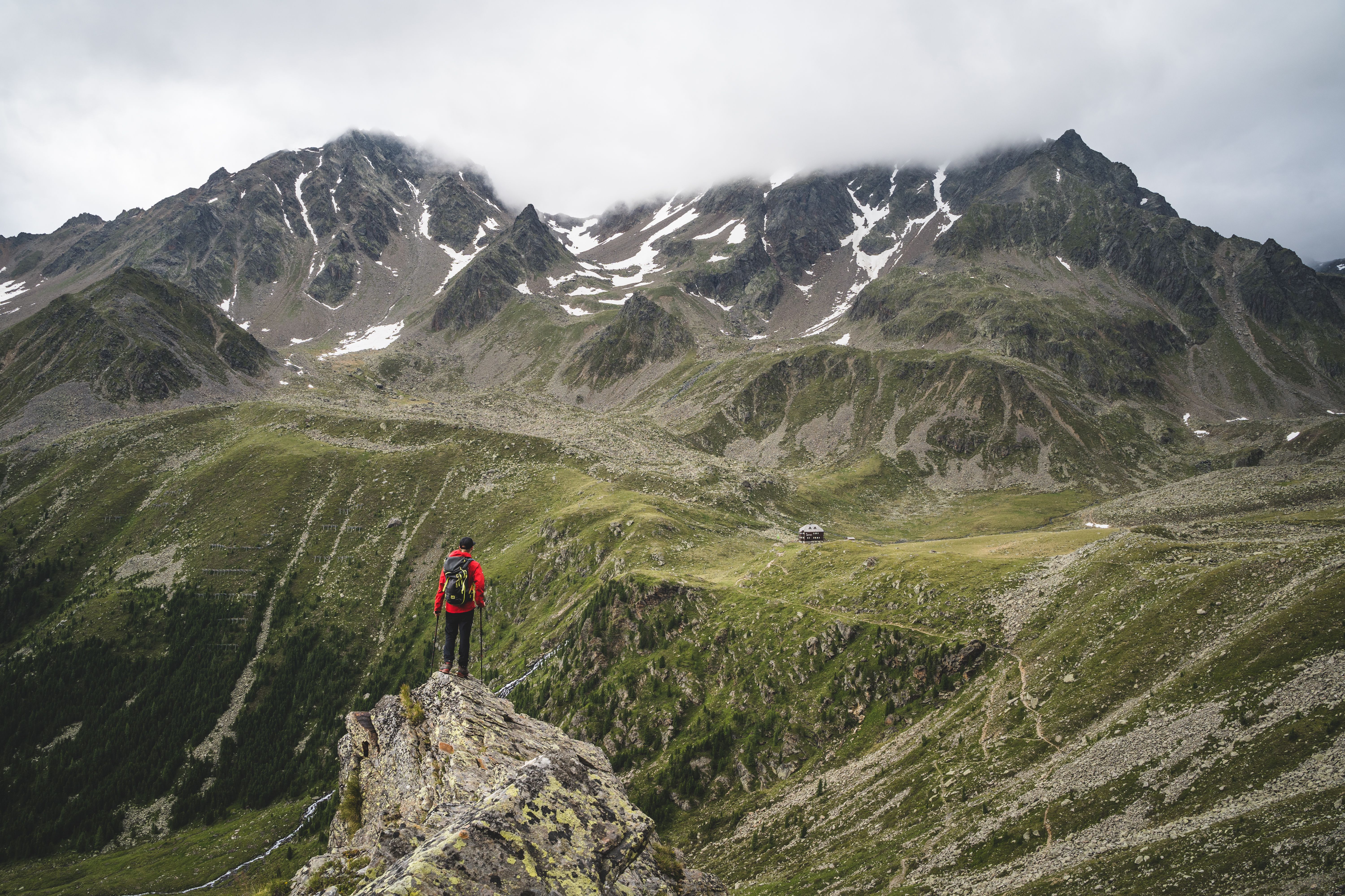
© bizcomburns_craftfilm
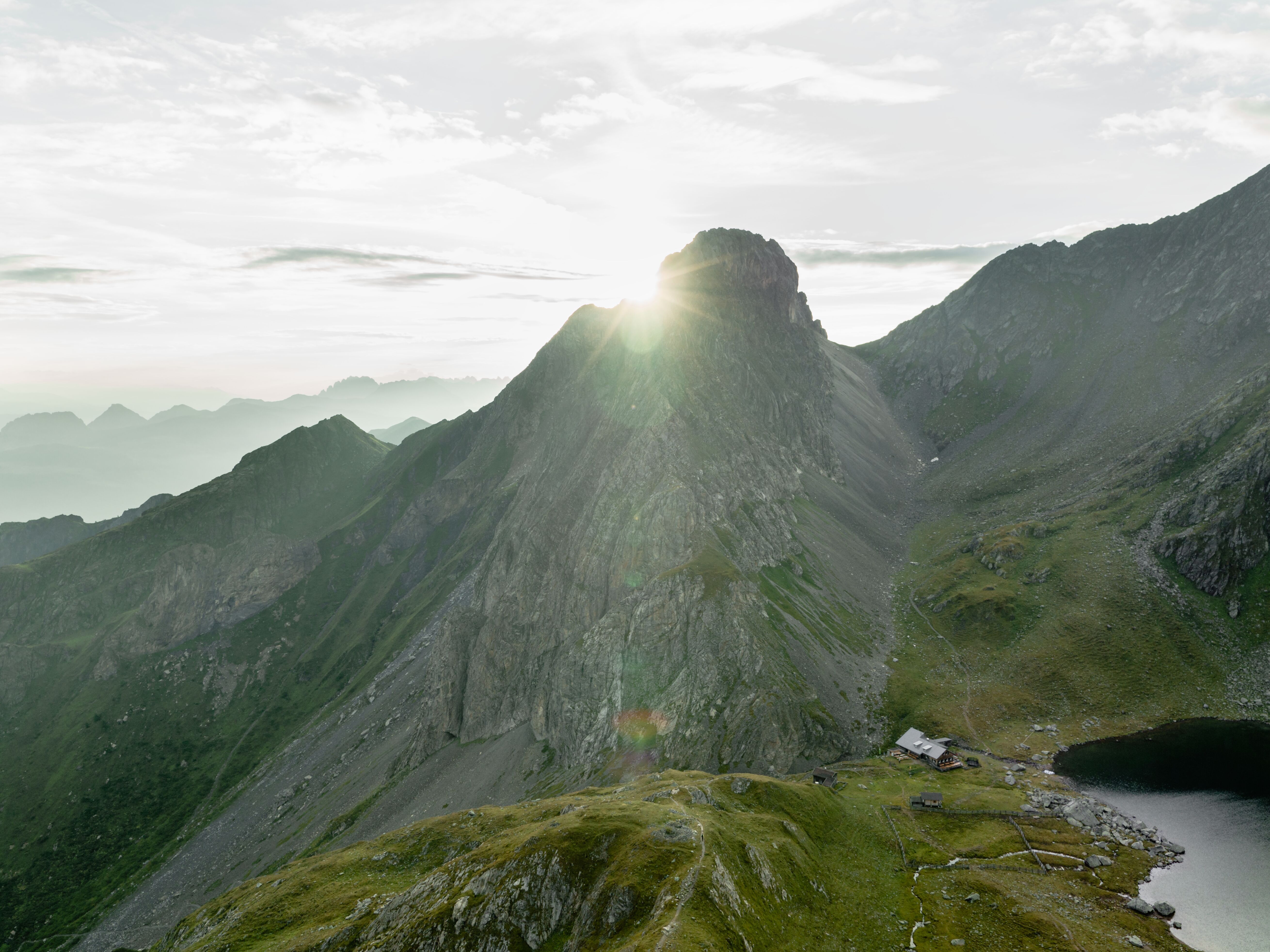
© Verena Helminger
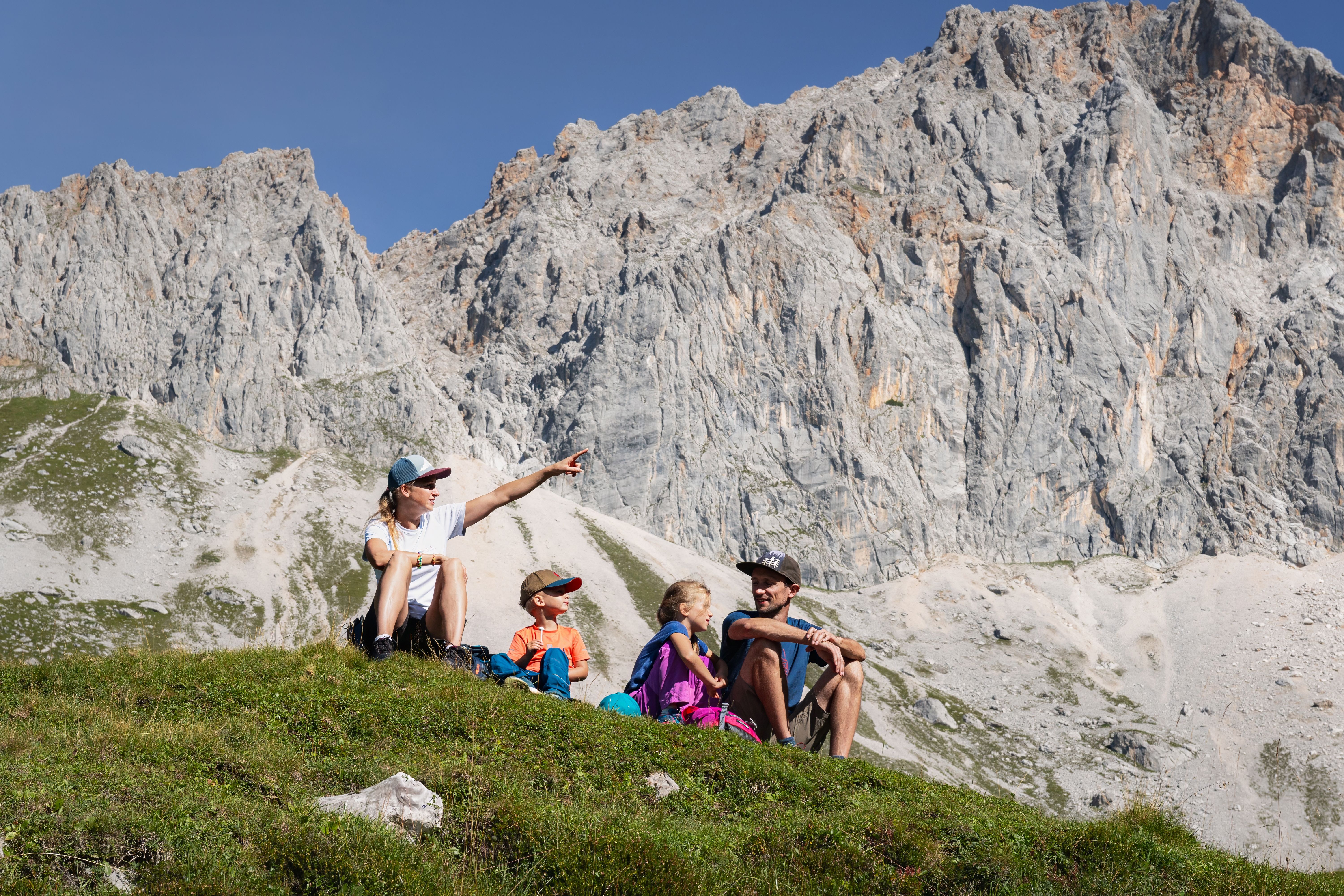
© Verena Helminger
© bizcomburns_craftfilm
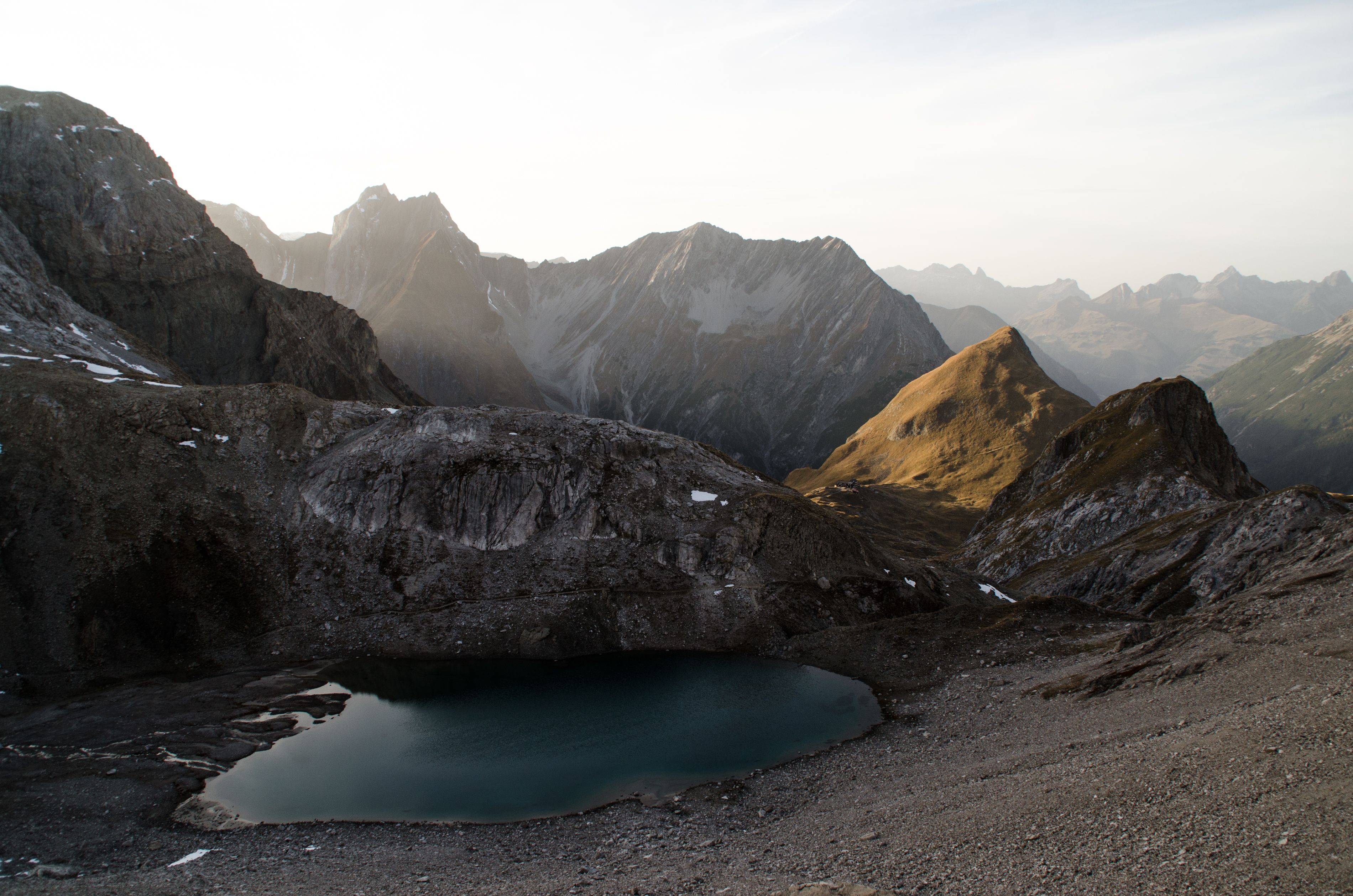
Landscape on the Karwendel High Trail, © Region Seefeld

Long-Distance Hike
Karwendel High Trail

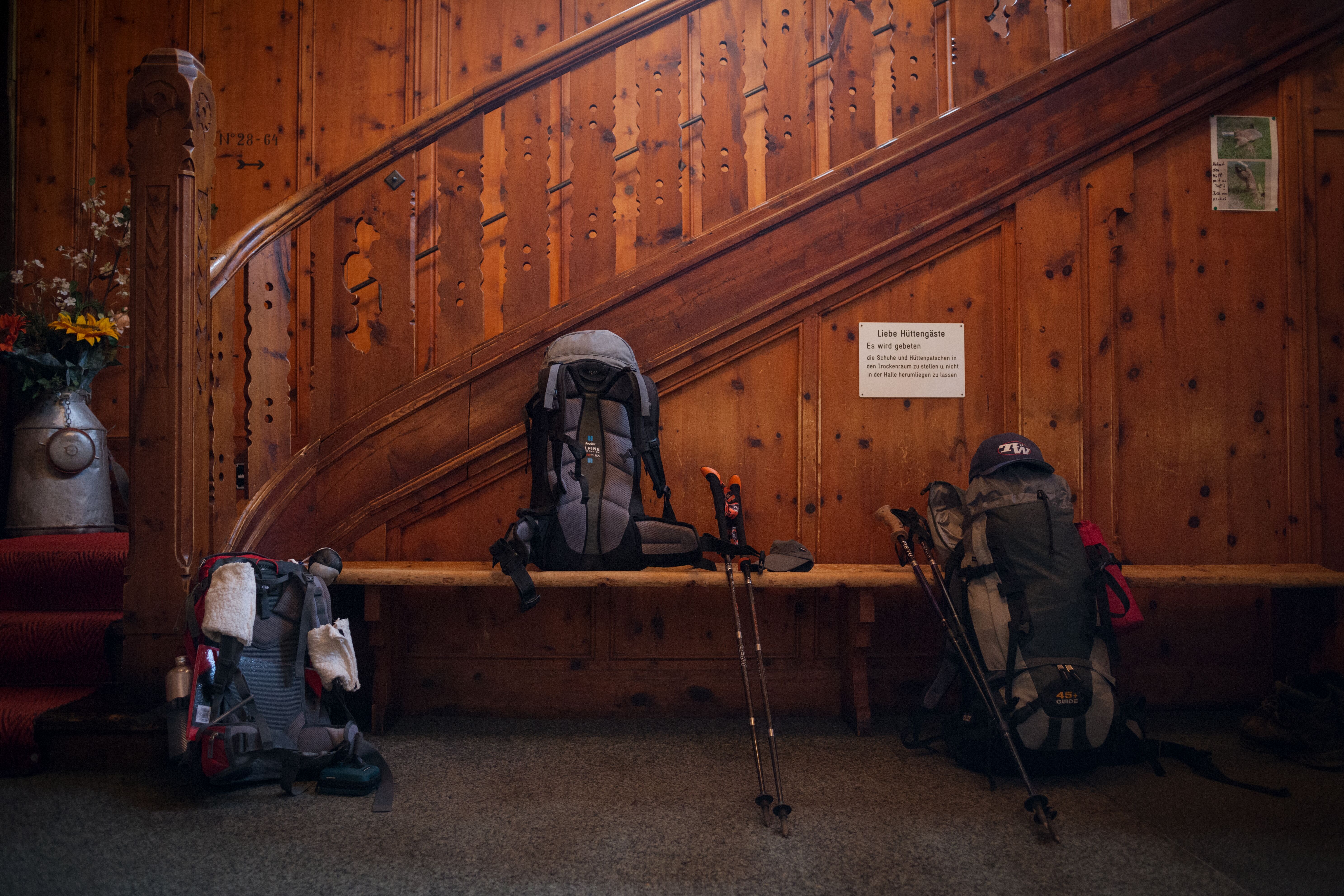
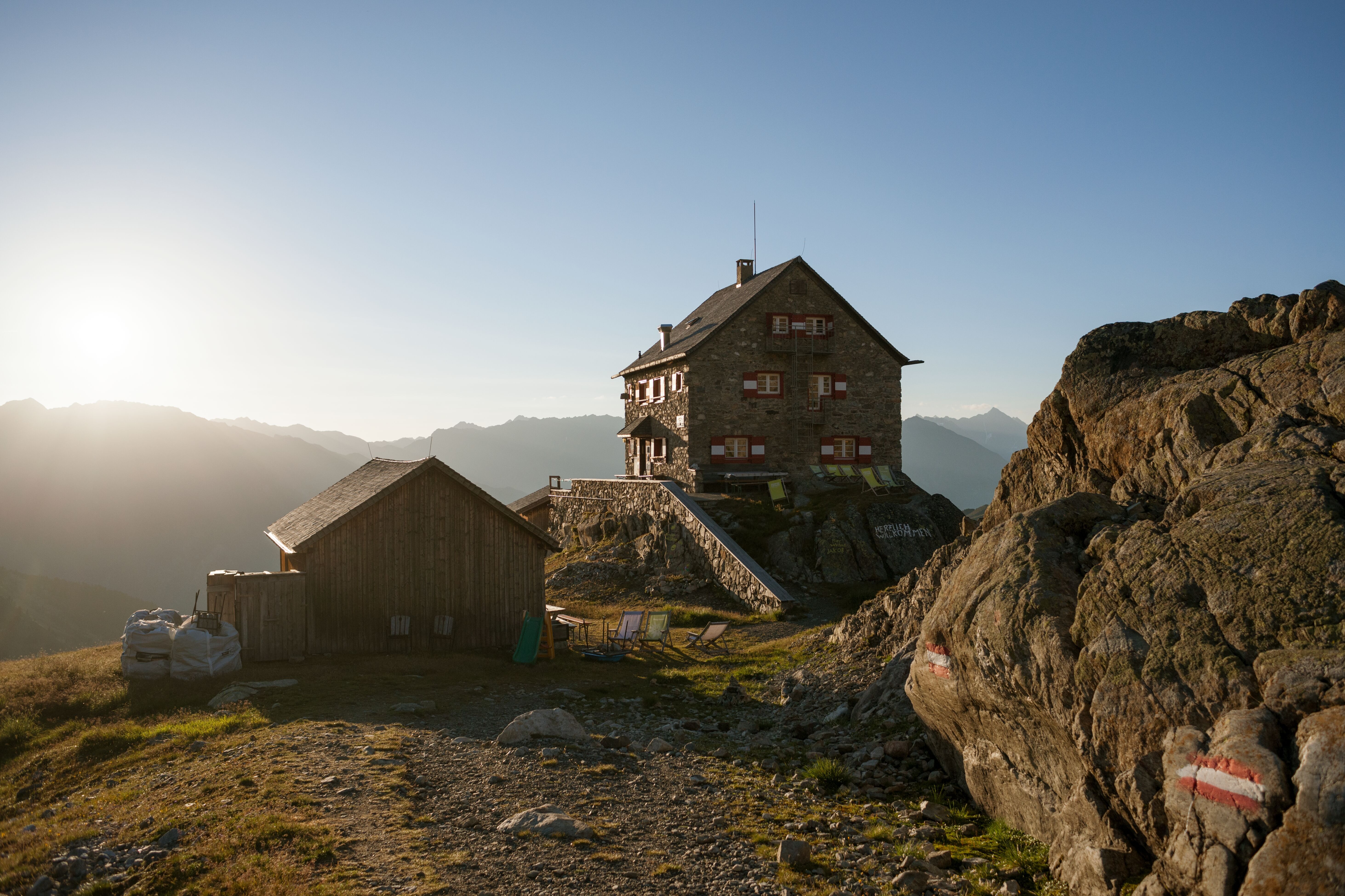
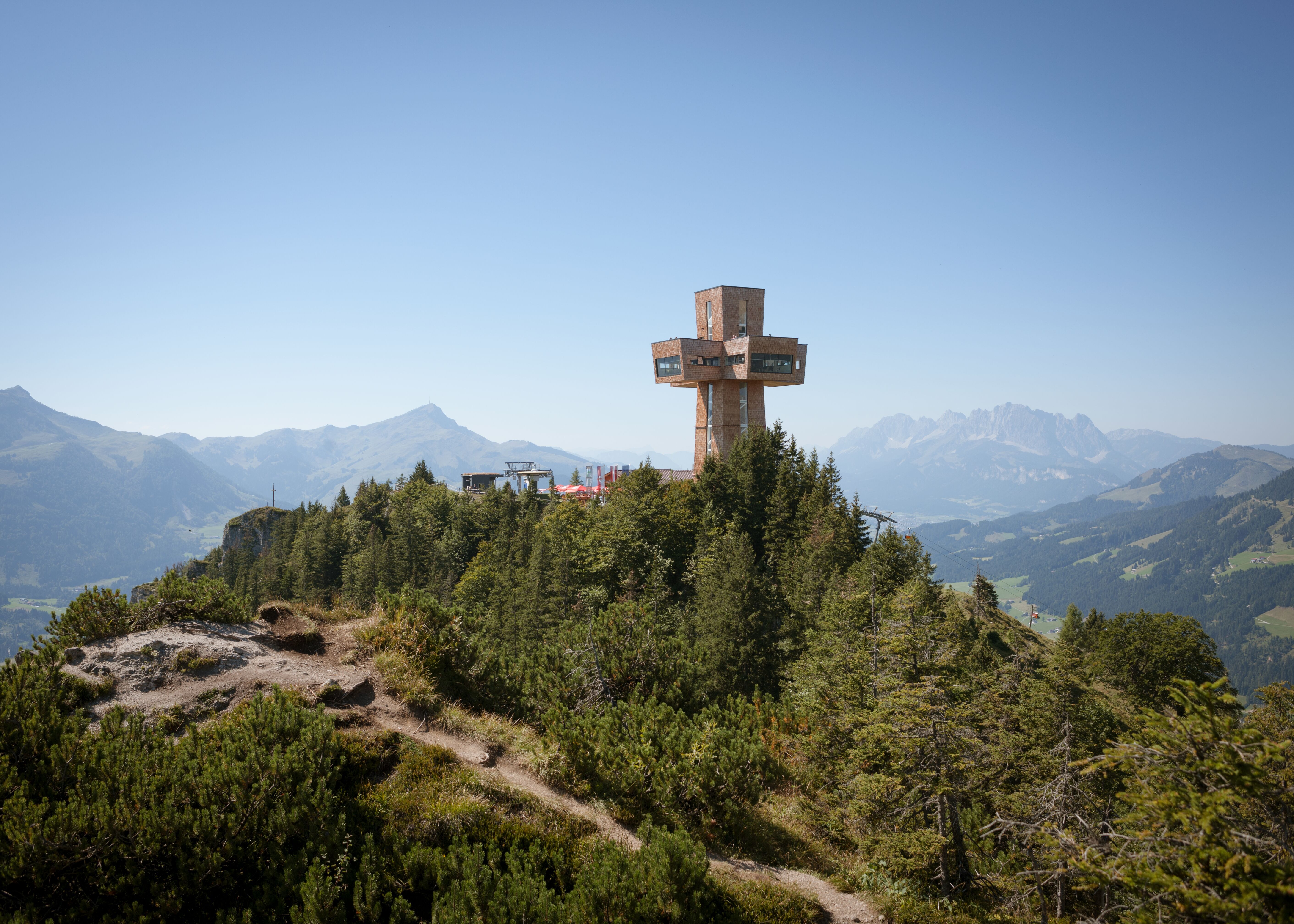
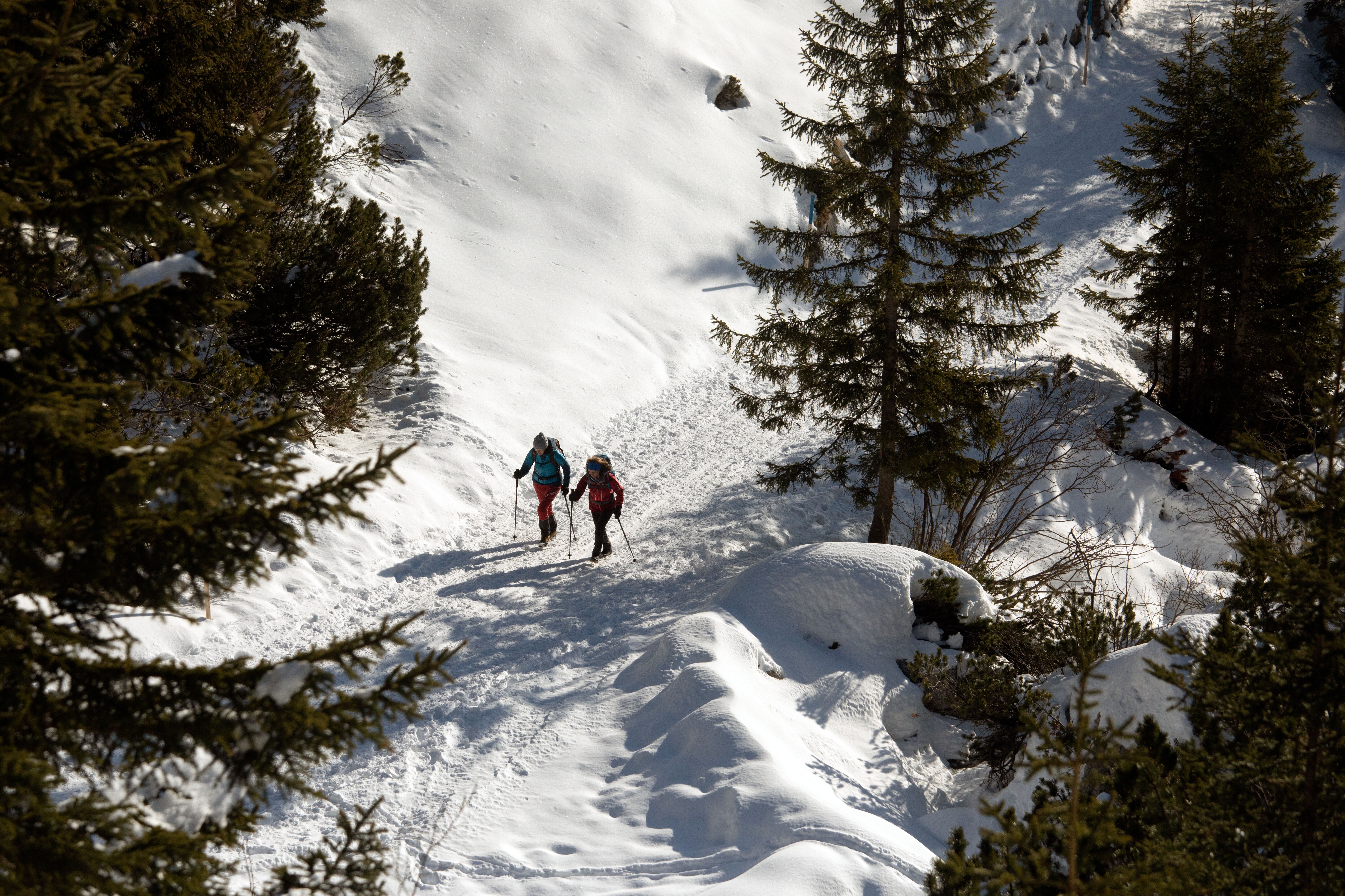
This high-alpine trek through the southern section of the Karwendel Mountains combines the hustle and bustle of the busy Inn Valley with the peace and solitude of what is one of Tirol's most beautiful mountain chains. All in all hikers must complete around 7,000 vertical metres (3,400 of which are uphill) from start to finish, taking in many of the lush meadows and craggy peaks in Austria's largest nature park. With its challenging stages in the high mountains, the Karwendel High Trail requires not only a good level of fitness but also experience of hiking in alpine terrain. The length and duration of each stage are average, which means that experienced walkers should be able to complete the 60 kilometres in six days. Along the way there are five excellent mountain huts all offering comfy accommodation, good food and breathtaking views of the surrounding landscape.

Open interactive map

Starting point  

Reith bei Seefeld

Finishing point

Scharnitz

Mountain chain

Karwendel Mountains

Length

66.7 km

Duration

6 day(s)

Features

  • Wheelchair-accessible Hiking Route
  • Circular hike

Difficulty rating

difficult (black trails)

Altitude

2,726m 980m

Elevation uphill 4,475m
Vertical metres downhill 4,635m

Fitness level

Technique

Best time of year

Jan
Feb
Mar
Apr
May
Jun

Jul
Aug
Sep
Oct
Nov
Dec

* These are approximate values and recommendations. Please take your personal fitness level, technical ability and the current weather conditions into account. Tirol Werbung cannot guarantee that the information provided is correct and accepts no liability.

Public transport

  • Accessible using public transport

Downloads

Trail description

Stage 1: Reith bei Seefeld – Nördlinger Hütte
Ascent: 1,150 vertical metres, duration: 3 hours, distance: 6.5 kilometres

The trek begins with an easy hike up to the Nördlinger Hütte hut offering fantastic views of the surrounding mountains. From the railway station in Reith bei Seefeld, follow the road in a northerly direction. Cross the old Roman road ("Römerstraße") and continue along the Panoramaweg trail until is turns off onto trail 211. Take this trail and climb the switchback corners up to the Schartlehnerhaus (1,856m). Traverse the Latschenrücken along the "Schoaßgrat" ridge, first along a series of switchbacks and then a somewhat straighter trail to the Nördlinger Hütte hut (2,239m).

Variation: Take the Bergbahnen Rosshütte cable car from in Seefeld up to the Rosshütte hut (1,751m), then take the Härmelekopfbahn lift to the starting point of the hike. From there, follow either the Kuntersteig trail (10) to the Nördlinger Hütte or (steep and exposed) climb over the Härmelekopf and Reither Spitze (79) to the Nördlinger Hütte.


Stage 2: Nördlinger Hütte - Solsteinhaus
Ascent: 350 metres, duration: 4 hours, distance: 6.7 kilometres

This stage leads up over the Ursprungsattel ridge and the Eppzirler Scharte to the Solsteinhaus. Leaving from the Nördlinger Hütte, the trail first goes in an easterly direction before turning northwards at the foot of the Reither Spitze mountain. Hikers then continue once again in an easterly direction up over the Ursprungsattel (2,087m) and then down again in a north-easterly direction. When you reach the Breiter Sattel (1,794m), turn right onto trail 74 to the Eppzirler Scharte. After crossing the Kuhljoch and climbing the winding path to the Eppzirler Scharte (2,102m) it is time to head downhill once again (approximately 200 vertical metres) into the Höllkar (trail 212). Finally, follow the undulating trail 211/212 to the Solsteinhaus.


Stage 3: Solsteinhaus - Pfeishütte
Ascent: 1,303 vertical metres, duration: 8 hours, distance: 16.5 kilometres

The longest stage of the Karwendel High Trail leads along two well-known trails, the "Gipfelstürmerweg" and the "Goetheweg", to the Pfeishütte hut. Leaving from the Solsteinhaus, hikers take trail 213 downhill towards the Möslalm before crossing onto the Gipfelstürmerweg (215) at the point where it branches off to "Wilder Iss". Continue in an easterly direction, past a hunting lodge, and then ascend a series of switchbacks as far as the "Hippen". After a short descent (with a fixed steel rope as well as handholds and footholds anchored into the rock) it is time to head uphill once again to the Frau Hitt Sattel. From the ridge there is a steep descent to the Schmidhubersteig trail, which leads to the Seegrube restaurant at the top of the cable car (1,906m). From there, follow trail 216 up to the Hafelekarhaus (2,269m). A few metres below the summit of the Hafelekarspitze mountain lies the Goetheweg trail (219), which takes hikers to the Pfeishütte hut. The first section of this mostly flat trail offers fine views of Innsbruck and the Inn Valley as it takes hikers over the Gleirschjöchl ridge to the Mühlkarscharte. Here the trail switches over to the northern side of the Nordkette mountain chain, where hikers can look forward to majestic views of the remote Karwendel Mountains. A series of switchback corners then leads to the Mandlscharte (2,314m) and from there down to the Pfeishütte.

Variation: Instead of hiking the 363 vertical metres from the Seegrube to the Hafelekarhaus, walkers can instead use the Hafelekarbahn cable car.


Stage 4: Pfeishütte - Bettelwurfhütte
Ascent: 500 vertical metres, duration: 4.30 hours, distance: 8.9 kilometres

This stage leads up over the Stempeljoch ridge and along the Wilde-Bande-Steig trail to the Bettelwurfhütte hut. Leaving from the Pfeishütte, take trail 221 (Via Alpina) in an easterly direction to the Stempeljoch (2,215m). From here there is a steep downhill section through loose stones and gravel (beware of patches of snow in early summer). After descending around 140 vertical metres, turn left onto the Wilde-Bande-Steig trail. Follow it along the eastern and southern flanks of the Stempeljochspitze and Rosskopf as well as the Großer and Kleiner Lafatscher mountains towards the Lafatscher Joch. Before reaching the Lafatscher Joch (2,081m) there is another ascent of around 80 vertical metres. Then take trail 222 (Via Alpina) in an easterly direction via the Kleines and Großes Speckkar to the majestic Bettelwurfhütte on the southern flank of the iconic Kleiner Bettelwurf mountain.


Stage 5: Bettelwurfhütte - Hallerangerhaus
Ascent: 300 vertical metres, duration: 3 hours, length: 5.8 kilometres

This stage leads along paths used for centuries to transport goods over the Lafatscher Joch ridge to the Hallerangerhaus. Leaving from the Bettelwurfhütte, known as the "eagle's nest of the Karwendel Mountains", take trail 222 back to the Lafatscher Joch (2,081m). From there head north along trail 223. This section is part of the popular Eagle Walk long-distance hiking trail traversing Tirol from east to west. Between the Lafatscher, Rosskopf and Speckkarspitze mountains the trail descends to the Hallerangerhaus hut (1,768m).


Stage 6: Hallerangerhaus - Scharnitz
Ascent: 82 vertical metres, duration: 5 hours, distance: 19.3 kilometres

The sixth and final stage of the Karwendel High Trail leads down through the Hinterautal Valley to Scharnitz. Leaving from the Hallerangerhaus hikers follow trail 224 in a westerly direction (with the option of climbing the nearby Sunntigerspitze) to the Kohleralm and the Lafatscher Niederleger. Here the trail becomes a little steeper and heads down into the Hinterautal Valley. Hikers have the option of taking a short detour to visit the Kastenalm hut or continuing along the wide trail past the source of the mighty Isar, where three mountain streams converge to form the river which eventually traverses the city of Munich. This is followed by an easy uphill section to the Gleirschhöhe (1,069m) before the trail heads downhill once again, past the Gasthof Wiesenhof building to the Isarbrücke bridge and on to Scharnitz. There is also the option of hiring a bike from the Hallerangerhaus hut in order to ride rather than walk the relatively long section from the Kastenalm to Scharnitz.

Information on place

Arrival date

How to get here by plane, train, bus or car.

Ihr Ziel: Karwendel High Trail (47.30106,11.20099)

powered by Rome2Rio

Search accommodation

Number of travelers

Hiking trails in this region

show more +

How did you like this article?

Want to receive an answer? If so, please get in touch using the contact form.

Go up

Is your inbox in need of a holiday?

Then subscribe to our weekly newsletter full of exclusive holiday tips from Tirol!