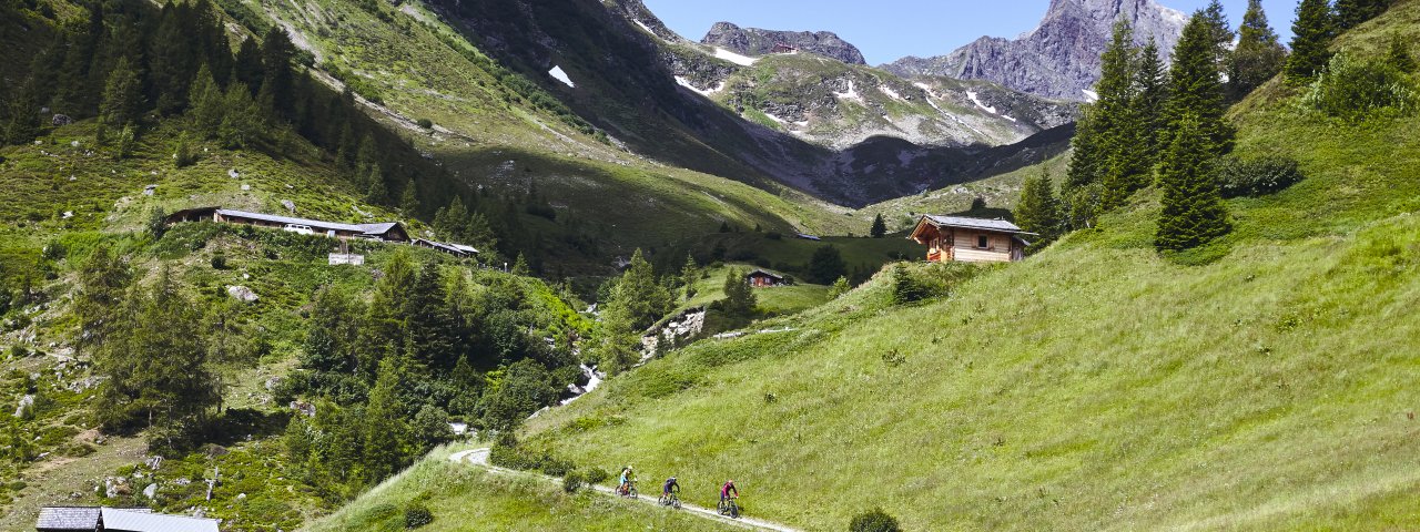
This bike & hike adventure of intermediate difficulty leads up onto the Mittagskopf mountain (2,249 metres) and offers fabulous views of Kappl and the Paznaun Valley mountains. With 1,060 vertical metres of hiking and biking, the route heads through the Visnitztal Valley, past a waterfall and the Visnitz-Alpe hut (open in summer). Leave you bike here and continue on foot through the shady forest all the way up to 2,050 metres before completing the final push to the summit. Tip! This bike & hike is ideal for an early-morning adventure to see the sunrise in the mountains.

Bike & Hike Adventure
Starting point
Bottom of Diasbahn cable car, Kappl
Hike to
Mittagskopf
Finishing point
Bottom of Diasbahn cable car, Kappl
Mountain chain
Samnaun Mountains
Length
16.9 km
Features
- Wheelchair-accessible Hiking Route
- Circular hike
Difficulty rating
intermediate (red mountain trails)
Altitude
Elevation uphill 1,060m
Vertical metres downhill 1,060m
Best time of year
* These are approximate values and recommendations. Please take your personal fitness level, technical ability and the current weather conditions into account. Tirol Werbung cannot guarantee that the information provided is correct and accepts no liability.
Parking
Bottom station of Diasbahn cable car
Places serving food & drink
- Visnitz-Alm (open until mid-September)
- Various locations in Kappl
Trail description
Bike (intermediate)
Riding time: 2 h 15 min
Distance: 10 km
Ascent: 410 vertical metres
Hike (difficult)
Walking time: 2 h 45 min
Distance: 6.9 km
Ascent: 650 vertical metres
This adventure starts at the car park (north side) at the bottom of the ski lifts in Kappl. First cross the river and then, on the left side of the car park, turn right onto the forest path that leads up to the Visnitz-Alpe hut (1,825 metres). In several hairpin bends, the trail leads up through shady forest, past a waterfall and later above the Visnitzbach stream. At the alpine hut, which is open in summer, you can leave your bike. Pull on your hiking boots and continue along a farm road into the valley through lush alpine meadows. After only 250 metres, take the path to the left at the fork; it leads over the stream and then up the other side of the valley through pine forest. After a good two kilometres, just before you reach the end of the forest road, a somewhat steeper path branches off to the right. Above the treeline, the trail now leads through meadows and avalanche protection fences to the summit of the Mittagkopf (2,249 metres). From there you can enjoy fine views of Kappl and the Paznaun Valley
Return along the way you came.


