This hike begins with a highlight in its own right – the approach through the rugged Dabaklamm gorge into the Dorfertal Valley to the north of Kals am Großglockner. The adventure continues with a mix of flower-filled meadows, charming huts and a beautiful lake. The hike is relatively long but not particularly difficult, making is also suitable for families with children.

Hut Hike
Starting point
Hotel Taurerwirt, Kals
Hike to
Kalser Tauernhaus, Dorfer See
Finishing point
Hotel Taurerwirt, Kals
Mountain chain
Glockner Mountains
Length
18.6 km
Total hiking time
6h
Features
- Wheelchair-accessible Hiking Route
- Circular hike
Difficulty rating
intermediate (red mountain trails)
Altitude
Elevation uphill 530m
Vertical metres downhill 530m
Fitness level
Technique
Best time of year
* These are approximate values and recommendations. Please take your personal fitness level, technical ability and the current weather conditions into account. Tirol Werbung cannot guarantee that the information provided is correct and accepts no liability.
Public transport
- Accessible using public transport
Bus route 952, get off at stop Kals a. G. Taurer
Parking
Car park 300 metres from the Hotel Taurerwirt in Kals
Places serving food & drink
- Bergeralm (late May until mid-October)
- Kalser Tauernhaus (early June until mid-October)
- Hotel Taurerwirt
Downloads
Trail description
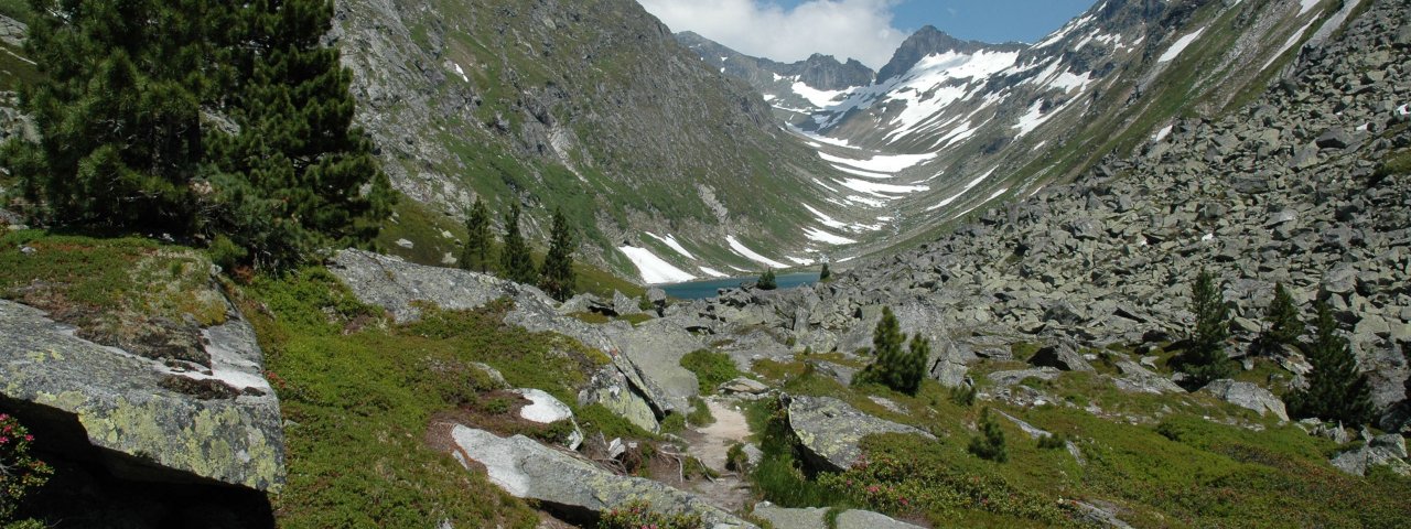
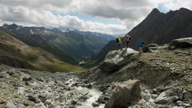
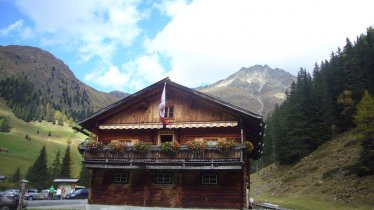
This hike begins at the car park around 300 metres before you reach the Hotel Taurerwirt in the settlement of Burg, which forms part of the village of Kals. Just a few metres after passing the hotel you will see the road heading into the Dabaklamm gorge (please be aware that this road can only be used by those with special permission and at specific times). Walk along this narrow road, to the right of the Dorferbach stream. The further you walk, the narrower the valley gets. After a flat section things get steeper once again. After around 15 minutes of walking you will reach a 300-metre-long tunnel. To the left of the tunnel there is a walking path headnig further into the Dabaklamm gorge. This section of the hike is relatively exposed and get steeper as you go on. En route you will find several viewing platforms overlooking the rushing Dorferbach stream far below. You will also find water dripping onto the trail from the rocks above (you may need to take a waterproof jacket). At the end of the Dabaklamm gorge you reach the wider Dorfertal Valley with its lush green meadows. Coming from the right you will see the trail from the Mairebenalm (1,628 metres). The walking trail leads left past the hut up to the rustic Bergeralm (1,636 metres). A stop here is recommended, including a chance to sample the homemade cakes. Then continue uphill on a gentle incline, past the Schönebenalm and Tinkenebenalm. At the height of the Rumesoiebenalm (1,680 metres), a section begins that leads a little further away from the Dorferbach stream towards the end of the valley to the Kalser Tauernhaus. The mighty peaks of the Hohe Tauern Mountains draw ever closer, for example, on the left side of the valley, the pyramid-shaped peak of the Muntanitz (3,232 metres) in the Granatspitz massif. With a few small ups and downs, and after a short forest section, the stone-built Kalser Tauernhaus (1,754 metres) is reached after about three quarters of an hour's walk from the Bergeralm. It is a wonderful place to linger, amidst flower-filled mountain meadows, with a view of the glaciers and peaks of the Glockner massif. However, it is worth taking the further path into the valley to the Dorfer See (1,935 metres) in the uppermost valley basin, which means an additional 200 metres in altitude. Head past the huts of the Beheimebenalm, through Feilmoos, over boulder terrain and finally oup a short ascent to the fantastically situated mountain lake on the flanks of the Granatspitze mountain, which is fed by milky white glacier meltwater. Return the way you came all the way to the starting point.
Tip! The starting point of this hike – the Hotel Taurerwirt in Kals – can be reached quickly and easily by bus from the regional capital Lienz.


