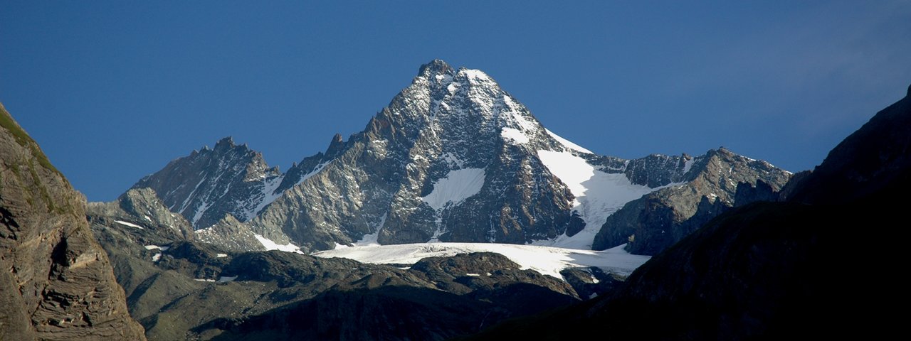
This adventure high in the mountains of the Hohe Tauern National Park offers plenty to see, do and discover in just two days – from majestic views of the onmipresent Großglockner (3,798 metres), Austria's highest peak, to a few surprises along the way such as ibexes and marmots native to the region. From the Stüdlhütte (2,802 metres) it is recommended to let local mountain guides lead the way. This section requiring crampons leads up over the Teischnitzkees glacier at the foot of the Großglockners and up onto the Schere (3,023 metres) with its fine panorama. There is even the chance to try abseiling into a crevasse! This adventure in the high mountains requires the necessary equipment as well as alpine experience and god overall fitness. The hike concludes with a descent through the Teischnitztal Valley.

Starting point
Car park at the Lucknerhaus lodge, Kals am Großglockner
Hike to
Stüdlhütte
Finishing point
Kals am Großglockner
Mountain chain
Glockner Mountains
Length
13 km
Duration
2 day(s)
Features
- Wheelchair-accessible Hiking Route
- Circular hike
Difficulty rating
difficult (black trails)
Altitude
Elevation uphill 1,125m
Vertical metres downhill 1,125m
Fitness level
Technique
Best time of year
* These are approximate values and recommendations. Please take your personal fitness level, technical ability and the current weather conditions into account. Tirol Werbung cannot guarantee that the information provided is correct and accepts no liability.
Public transport
- Accessible using public transport
Parking
Parking in the centre of Kals
Places serving food & drink
- Stage 1: Lucknerhütte (June until mid-October), Stüdlhütte (March until October)
- Stage 2: Lucknerhaus (February and October), various locations in Kals
Downloads
Trail description
Stage 1: Lucknerhaus – Lucknerhütte – Stüdlhütte
Uphill/downhill: 884/0 vertical metres, walking time: 3.5 hours, distance: 5.6 kilometres, highest point: 2,802 metres, difficulty: intermediate (red)
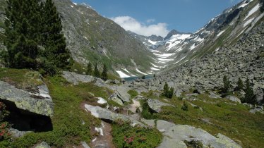
This awesome adventure starts with a scenic taxi ride from Kals to the Lucknerhaus lodge (1,920 metres). It is there that the main part of the hike begins, leading first up to the Lucknerhütte (2,241 metres) and then on to the Stüdlhütte (2,802 metres). Both these alpine refuges lie at the foot of the Großglockner in the heart of the breathtaking Hohe Tauern National Park. As they ascend, hikers will pass through several vegetation and climate zones. The route takes in lush meadows, alpine grass landscapes and glacier rock fields with tiny but hardy plants able to survive in these tough conditions. We recommend taking a pair of binoculars to observe the local wildlife.
Stage 2: Stüdlhütte – Teischnitzkees – Schere – Maurigen Trog – Kals am Großglockner
Uphill/downhill: 230/1,406 vertical metres, walking time: 4.5 hours, distance: 9.5 kilometres, highest point: 3,023 metres, difficulty: difficult (black)
This second stage requires a mountain guide (please book in advance) from start to finish. The route leads between towers of ice and deep crevasses across a section of the Teischnitzkees glacier and up onto the Schere (3,023 metres). The correct technique for walking with crampons is essential here. After returning along the same route and enjoying a rest at the Stüdlhütte, hikers descend through the idyllic Teischnitztal Valley and the Maurigen Trog (2,101 metres) to the start of the gorge. From there, take a taxi (Glocknertaxi in Kals) back to Kals. It is worth booking this taxi transfer in advance.


