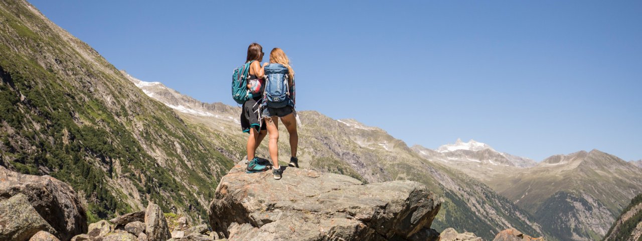
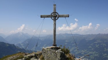
This 17-kilometre-long hike taking in two mountain summits demands good fitness levels as well as sure footing and a pair of sturdy walking boots. The reward for all that hard work comes in the form of magnificent views of the Kitzbühel and Zillertal Alps as well as the Hohe Tauern National Park from the peaks of the Isskogel (2,263 metres) and the Kreuzjoch (2,558 metres) mountains. These two summits are connected by a narrow, gently rising ridge and give hikers the opportunity to get away from the many ski lifts and hotels in the region. The Isskogelbahn cable car is an option at the start for those who want to shorten the hike. Nevertheless, this alpine adventure is a challenge.

Summit Hike
Starting point
Base of Isskogel gondola in Gerlos
Hike to
Isskogel, Kreuzjoch
Finishing point
Base of Isskogel gondola in Gerlos
Mountain chain
Kitzbühel Alps
Length
17.3 km
Total hiking time
6 h 30 min
Features
- Wheelchair-accessible Hiking Route
- Circular hike
Difficulty rating
difficult (black trails)
Altitude
Elevation uphill 700m
Vertical metres downhill 1,330m
Best time of year
* These are approximate values and recommendations. Please take your personal fitness level, technical ability and the current weather conditions into account. Tirol Werbung cannot guarantee that the information provided is correct and accepts no liability.
Public transport
- Accessible using public transport
Bus route 4094, get off at stop Gerlos Isskogelbahn
Parking
Parking at the bottom of the Isskogelbahn gondola
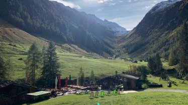
Places serving food & drink
- Latschenalm
- Krummbachalm
Downloads
Trail description
From Gerlos, ride the gondola to the top of Isskogel (1,899 metres), where your hike onto the 2,263-metre-high Isskogel mountain begins. Take the ascending path signed trail number 1. From the summit, continue along the narrow ridge to get to the top of the 2,558-metre-high Kreuzjoch peak. Then descend along the trail number 1 to the gorgeous Langensee lake (2,232 metres) and past the Wilde Krimmlalm (2,062 metres). From there, follow trail number 2 and head through the Teufeltal Valley into the Krummbachtal Valley until you eventually get to the base of the gondola you rode up to begin this hike. At the end of the day you will have hiked 17 kilometres with around 700 vertical metres of uphill and 1,310 vertical metres of downhill.


