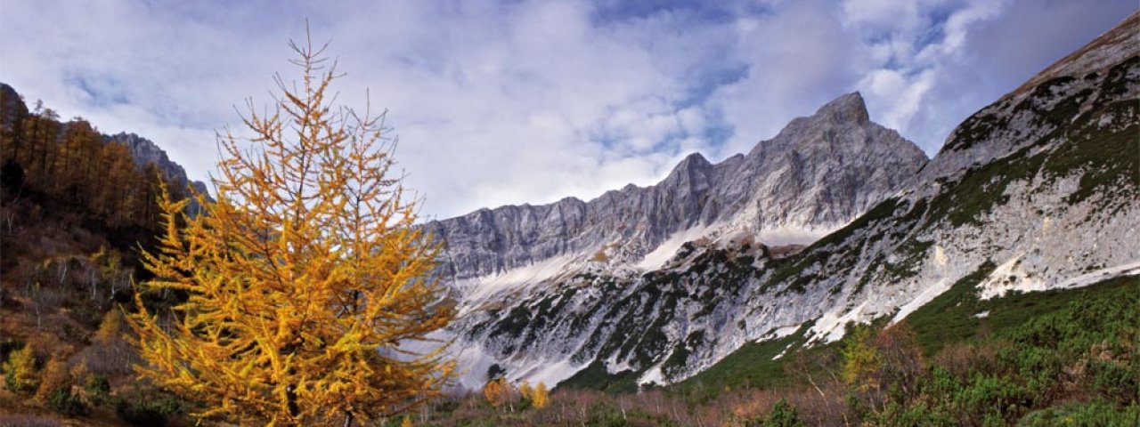
The Halltal is a quiet and idyllic valley in the Karwendel Mountains near the village of Absam. After several landslides it was closed to cars in 2012. This walk leads through the craggy mountains and rich flora of the Karwendel Nature Park. past small lakes and rushing streams over the Issjöchl ridge to Issanger. The impressive "Herrenhäuser" buildings and the numerous mining shafts (some of which are still intact) indicate the lond and rich history of salt mining in the region. On the way back we recommend stopping off at the Gasthof St. Magdalena serving food and drink.

Mountain Hike
Starting point
Car park at start of Halltal Valley, Absam
Hike to
Issjöchl and Issanger
Finishing point
Car park at start of Halltal Valley, Absam
Mountain chain
Stubai Alps
Length
15.4 km
Total hiking time
5h
Features
- Wheelchair-accessible Hiking Route
- Circular hike
Difficulty rating
easy (hiking trails)
Altitude
Elevation uphill 332m
Vertical metres downhill 984m
Fitness level
Technique
Best time of year
* These are approximate values and recommendations. Please take your personal fitness level, technical ability and the current weather conditions into account. Tirol Werbung cannot guarantee that the information provided is correct and accepts no liability.
Public transport
- Accessible using public transport
Bus line "Stadtbus Hall 7", bus stop Eichat Bettelwurfsiedlung
Parking
Car park at the start of the Halltal Valley in Absam (free). From early June until late September and on weekends (in good weather) there is a shuttle service (extra fee) from the car park to St. Magdalena.
Places serving food & drink
- Alpengasthof Walderbrücke (open all year, closed Wednesday and Thursday)
- Alpengasthof St. Magdalena (for current opening hours see http://st-magdalenaimhalltal.jimdo.com or call 0043 (0) 664 2204659)
- Knappenhäusl (only open on weekends)
Downloads
Trail description
From the car park at the start of the Halltal Valley in follow the wide former transport path in a northerly direction along the Weißenbach river. After around 2.5 kilometres, shortly after a left-hand bend, you will see a trail heading east. This is slightly uphill and leads through thick forests to St. Magdalena. Conrtinue through the forest in an easterly direction until you meet the transport path once again. Turn left here towards "Erzherzogberg". This wide trail leads along the banks of the river in an easterly direction, eventually heading uphill through a series of switchback corners to a collection of buildings known as the "Herrenhäuser". A little further on, from the second corner, you can swap the wide trail for a shorter, steeper one heading north to the Issjöchl ridge. It is here that the trail divides. The path left leads to Issanger. Take this path and, once you reach Issanger at around 1,600 metres above sea level, you will cross the wide transport path again. It is here that the journey back begins, heading in an easterly direction. There is then a trail along the banks of the Issbach stream back to the transport path. Continue from there back along the way you came to the starting point.


