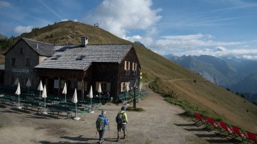
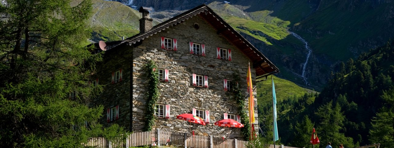
Eagle Walk Stage O7: Kalser Tauernhaus, © Kalser Tauernhaus

Eagle Walk Stage O7: Sudetendeutsche Hütte - Kalser Tauernhaus

This “Glockner Loop” segment of the Eagle Walk offers the best of Granatspitz Mountains as it skirts glaciers, summits a significant peak in the Hohe Tauern Range, drops down tussock slopes and delivers lake views, all while under the watchful gaze of the majestic snow-covered and ice-crowned Großglockner, Austria's highest mountain. From the Sudetendeutsche Hütte, the trail skirts the Gradötz glacier and ascends the 2,848-metre Gradötz peak before dropping down into the Dorfertal Valley to the Kalser Tauernhaus lodge. Once there, you can either rest for the day, or, if you are up for the extra effort, take the one-hour detour to Dorfersee lake, an aquatic gem wrapped in gorgeous scenery.

Interesting Facts

Eagle View ·Großer Muntanitz is the highest peak in the Granatspitz Mountains. Peak baggers may want to nab its pinnacle, but less adventurous souls will be perfectly content staying on the trail and watching it as it hovers above at 3,232 metres. The way-marked access from Sudetendeutsche Hütte is quite easy to negotiate in dry weather. If the weather is clear, you’ll have wonderful views of the Großglockner to the east and the Venediger Range to the west.

Eagle Kick ·Although the Eagle Walk runs below the Gradötz glacier, it can be treacherous in snow or adverse weather conditions and intimidating to an unseasoned hiker. A section of the trail crosses the steep Gradötz ridge that can retain snow until late in the season; hikers without adequate gear and experience are better off waiting until the snow has melted before tackling this section. Before heading out, be sure to check with innkeepers or local tourist information offices whether this route is accessible.

Interesting Facts Eagle View ·Großer Muntanitz is the highest peak in the Granatspitz Mountains. Peak baggers may want to nab its…

Read moreShow less
Open interactive map

Starting point  

Sudetendeutsche Hütte

Finishing point

Kalser Tauernhaus Haus

Mountain chain

Glockner Mountains

Granatspitz Mountains

Length

8 km

Total hiking time

4h

Features

  • Wheelchair-accessible Hiking Route
  • Circular hike

Difficulty rating

intermediate (red mountain trails)

Altitude

2,820m 1,740m

Elevation uphill 300m
Vertical metres downhill 1,200m

Fitness level

Technique

Best time of year

Jan
Feb
Mar
Apr
May
Jun

Jul
Aug
Sep
Oct
Nov
Dec

* These are approximate values and recommendations. Please take your personal fitness level, technical ability and the current weather conditions into account. Tirol Werbung cannot guarantee that the information provided is correct and accepts no liability.

Eagle Walk

This is a stage of the Eagle Walk, Tirol's most famous long-distance hiking trail.

Downloads

Trail description

Starting point: Sudetendeutsche Hütte

From the Sudetendeutsche Hütte, walk past the memorial cross and the tiny lake, heading uphill along grassy slopes and mossy hollows to the outlets of the Gradötzkees glacier, where you will find another tiny lake, a jewel cradled in a talus bowl, a glacial cirque created in eons past. Be sure to note the forces of glaciation. Now follow the trail as it heads upward towards the Gradötzsattel ridge (2,826 m), before dropping down to the Bloipalfen (2,684 m). From there, the trail descends over meadows with rocky outcrops and jagged cliffs. At an elevation of about 2,500 metres, the Silesiaweg trail branches off to the left. If you've got time, take this nice and short detour for rocky and jagged Muntanitzschneid, offering dramatic views of the surrounding peaks. The Eagle Walk continues to the right and eventually reaches the Muntanitzbach stream, that is unbridged and difficult to negotiate even in dry periods. When the water is flowing at full volume, the crossing might require a slippery, boots off, knee-high fording. Slightly above the Ochsenalm, the trail rounds the spine of Muntanitzschneid. The trail is well-defined on pretty sound tread, with rugged terrain in places. After dropping down tussock slopes, the trail heads north through a grove of stone pines. At the bridge crossing Stotzbach stream there is a sign. Look for the signpost slightly below, signed 514 A. That's where the trail descends to the Kalser Tauernhaus. The trail starts switch-backing downwards along Wilhelm-Ernst-Weg trail through stands of alders, ashes and larches, passing the National Park Lookout. Take a moment to appreciate the water of Stotzbach stream that tumbles down over the jagged rocks and cliffs of glacial erratics, from a time when this area was covered by ice, to feed the creek below. When the trail finally reaches the valley floor, cross Dorferbach stream and you’ve got just a short journey to your destination, the Kalser Tauernhaus at an elevation of 1,755 metres. The lodge is situated in the Inner Dorfertal Valley, slightly beneath the spot where the Stotzbach stream empties into Dorferbach stream. For trail descriptions please also consult the book "Osttiroler Wanderbuch" by von Walter Mair.

Finishing point: Kalser Tauernhaus

Information on place

Arrival date

How to get here by plane, train, bus or car.

Ihr Ziel: Eagle Walk Stage O7: Sudetendeutsche Hütte - Kalser Tauernhaus (47.049338747725,12.576509786193)

powered by Rome2Rio

Search accommodation

Number of travelers

Hiking trails in this region

show more +

How did you like this article?

Want to receive an answer? If so, please get in touch using the contact form.

Go up

Is your inbox in need of a holiday?

Then subscribe to our weekly newsletter full of exclusive holiday tips from Tirol!