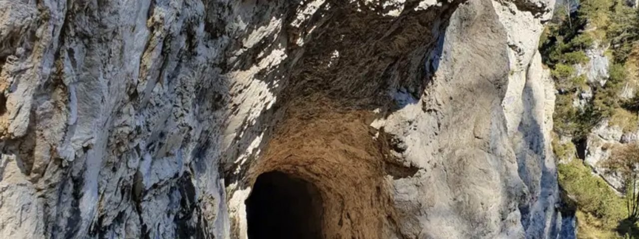
This relatively easy circular hike is ideal for hot summer days. It starts in Steinberg and leads through shade-filled valleys and two cool tunnels, taking in the beautiful Steinberger Ache river as well as the Schönjochtal Valley with its rushing Gaismoosbach stream along the way.

Starting point
Steinberg am Rofan
Finishing point
Steinberg am Rofan
Mountain chain
Brandenberg Alps (Rofan)
Length
10 km
Total hiking time
3h
Features
- Wheelchair-accessible Hiking Route
- Circular hike
Difficulty rating
intermediate (red mountain trails)
Altitude
Elevation uphill 380m
Vertical metres downhill 380m
Fitness level
Technique
Best time of year
* These are approximate values and recommendations. Please take your personal fitness level, technical ability and the current weather conditions into account. Tirol Werbung cannot guarantee that the information provided is correct and accepts no liability.
Public transport
- Accessible using public transport
Bus 7801 from Achenkirch, get off at stop Steinberg a. R., Kirche
Parking
Dorfhaus Steinberg
Downloads
Trail description
The hike begins at the parish church in Steinberg and first leads to Hintersteinberg. To the south you will find hiking trail number 1 leading into the forest. Follow the trail down into the valley to the Gaismoosbach stream in the Schönjochtal Valley, a narrow wild watercourse that has cut deep its way deep into the rock. Take the bridge at the bottom and follow the path, which now swings north along with the stream. Shortly afterwards you will reach the tunnel at the Gaismoosstollen. After a right-hand bend you reach another bridge that leads over the much wider Steinberger Ache river. Then turn right and follow the farm track uphill along the river. You will come to another tunnel before turning sharply right onto the 'Holzermahdweg' trail about a kilometre further on. The trail leads back north and finally meets up again with the first bridge at the Gaismoosbach stream. Now take the path through the tunnel down to the Steinberger Ache river again, but turn left there and follow the road down the valley. At the end, turn left and immediately left again onto the 'Adlerweg' trail, which leads uphill through the forest back to Steinberg.


