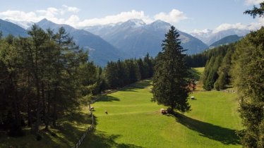
It's just a short walk from the Adlerlounge at the top of the Kalser Bergbahnen cable car up onto the Blauspitze mountain (2,574 metres), an eye-catching mountain offering fine views of some of Austria's highest mountains, including the Großglockner and the Großvenediger. However, the trail up to the top requires hikers to be sure-footed and have a good head for heights. The approach from the north-eastern side is longer but less challenging. Having conquered the summit, hikers return along the eastern side with fine views of the Kalser Tal Valley.

Summit Hike
Starting point
Adlerlounge, top of Kalser Bergbahnen cable car / Kals
Hike to
Weißer Knopf (2,578 metres), Blauspitze (2,574 metres)
Finishing point
Adlerlounge, top of Kalser Bergbahnen cable car / Kals
Mountain chain
Granatspitz Mountains
Length
8.5 km
Total hiking time
5h
Features
- Wheelchair-accessible Hiking Route
- Circular hike
Difficulty rating
difficult (black trails)
Altitude
Elevation uphill 679m
Vertical metres downhill 679m
Fitness level
Technique
Best time of year
* These are approximate values and recommendations. Please take your personal fitness level, technical ability and the current weather conditions into account. Tirol Werbung cannot guarantee that the information provided is correct and accepts no liability.
Public transport
- Accessible using public transport
Bus route 952, get off at stop Kals a. G. Gemeindeamt
Parking
Top of Kalser Bergbahnen cable car
Places serving food and drink
- Bergrestaurant Blauspitz
Downloads
Trail description
After riding up into the mountains on the Kalser Gondelbahn (second section), the hike begins on trail 24. Walk through avalanche protection fences in a southerly direction. Soon, turn right towards Kalser Höhe. Stay right and continue along trail 24 to the Ganotzkogel and then over the ridge to the Weißer Knopf (2,578 metres). The trail is narrower here and loose under foot in places. Continue to the summit of the Blauspitze (2,574 metres).
The descent initially leads along the way you came. Below the summit, turn right and head along the trail on the northern side of the mountain. This winds its way down to another trail, the Aussig-Teplitzer-Weg. Follow this trail in a clockwise direction around the east side of the Blauspitze. The final section is a short uphill (90 vertical metres) back to the top of the cable car.


