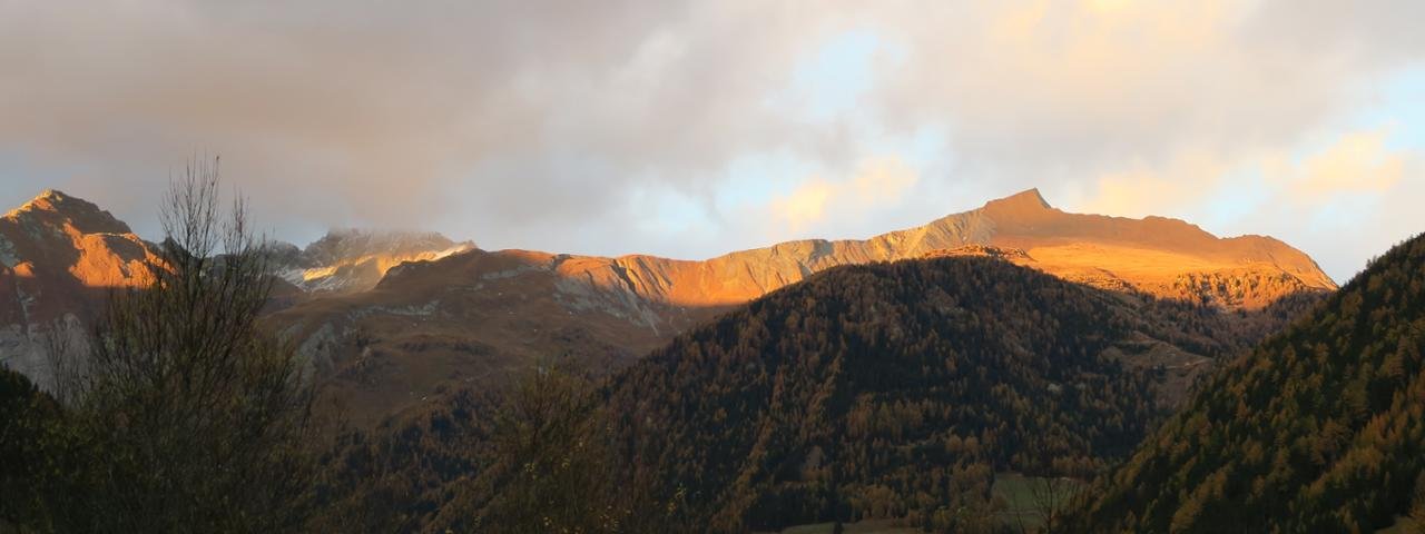
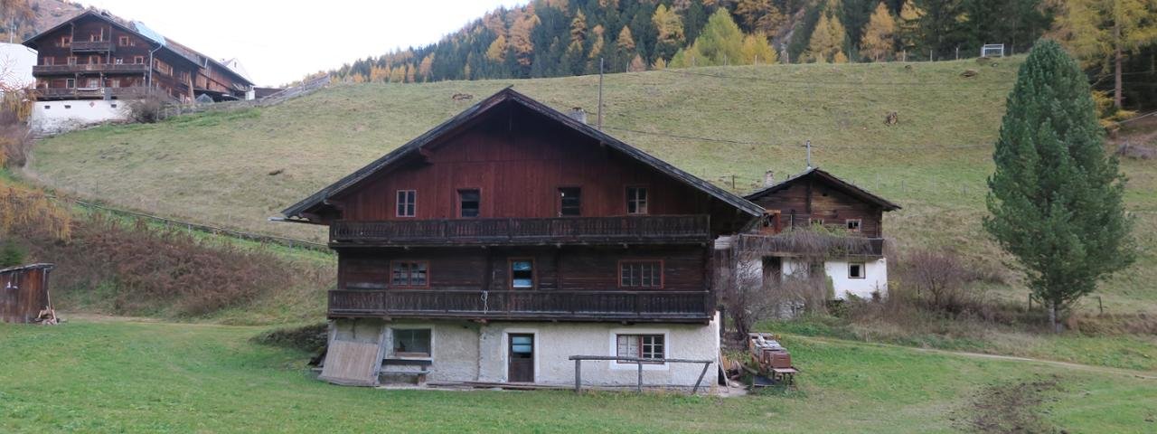
This easy hike leads along the Kalser Bach from Arnig to Großdorf, a village at the foot of the Großglockner. The municipality of Kals am Großglockner lies within the borders of the Hohe Tauern National Park at an altitude of 1,325 m. Kals itself has managed to maintain its traditional charm and still features many farmhouses dating back centuries. The most famous of the numerous surrounding mountains is without doubt the Großglockner, at 3,798 metres the highest mountain in Austria.


Hike
Starting point
Arnig
Hike to
Kals am Großglockner
Finishing point
Arnig
Mountain chain
Glockner Mountains
Length
6.9 km
Total hiking time
2 h 30 min
Features
- Wheelchair-accessible Hiking Route
- Circular hike
Difficulty rating
intermediate (red mountain trails)
Altitude
Elevation uphill 155m
Vertical metres downhill 155m
Fitness level
Technique
Best time of year
* These are approximate values and recommendations. Please take your personal fitness level, technical ability and the current weather conditions into account. Tirol Werbung cannot guarantee that the information provided is correct and accepts no liability.
Public transport
- Accessible using public transport
Parking
Car park near Arnig, next to the Kalser Bach river
Downloads
Trail description
Route description for wheelchair users
The route starts at the small car park in Arnig, directly next to the Kalser Bach river. From this car park wheelchair users must travel around 100 metres back along the road in order to access the hiking trail. A bridge over the river opens up two different hiking options.
The trail over the bridge leads to a steep downhill section of around 7 metres with a few tree roots. This section is certainly easier to negotiate this way (downhill) than on the way back (uphill). The other option is to stay on the eastern side of the river and continue gently uphill for around 3 kilometres, past a forest play area (km 3) to Großdorf.
Wheelchair users who wish to avoid this slight uphill section can turn around at km 3 and return back along the same route. Alternatively, they can cross onto the western bank of the river and return this way, though as already mentioned there is a short but steep section with several tree roots where most wheelchair users will need help.
Please note: There are no places along the route serving food and drink, so we recommend taking any food and drink required with you. The river generally has very little water in autumn but can be very full in spring. Please check current conditions with the local tourist office before embarking on the hike.


