Hiking the Eagle Walk with Public Transport

Tirol's comprehensive network of public transport makes it easy to travel around the region using trains and buses. Hikers wishing to take on part or all of the Eagle Walk can access the start and finish points of each stage using local public transport.

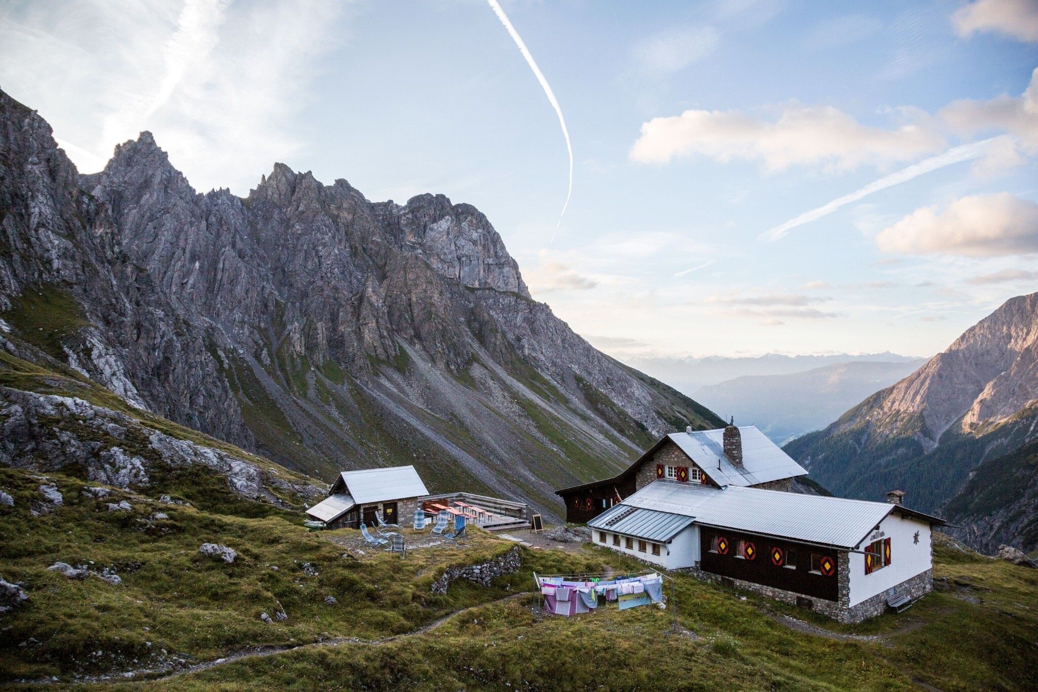
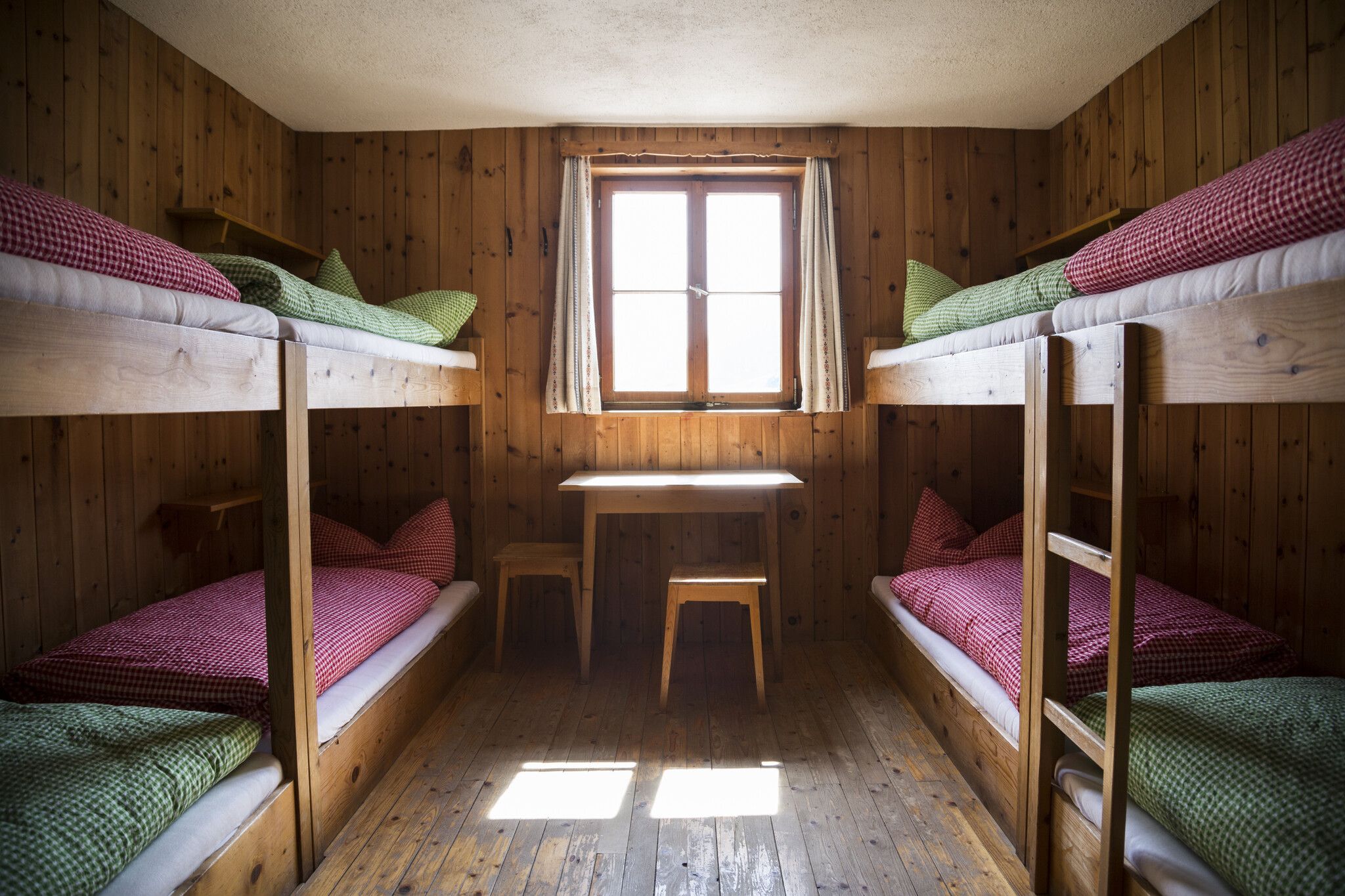
These multi-day hikes making up the Eagle Walk start and end next to a train or bus station. Accommodation is provided by traditional mountain huts. Check out the nine hikes below which can all be easily accessed by train.

These multi-day hikes making up the Eagle Walk start and end next to a train or bus station. Accommodation is provided by traditional mountain huts…

Read moreShow less

Karwendel Mountains

From Lake Achensee via Innsbruck all the way to Leutasch, these seven stages of the Eagle Walk lead through the Karwendel Mountains.


KARWENDEL MOUNTAINS (east)
5 days | 60 km | 4,850 vertical metres | black (expert) trails

Start: Jenbach train station, Pertisau Karwendeltäler bus stop

Finish: Innsbruck main train station


KARWENDEL MOUNTAINS (west)
2 days | 27 km | 1,800 vertical metres | red (intermediate) trails

Start: Hochzirl train station

Finish Gießenbach train station


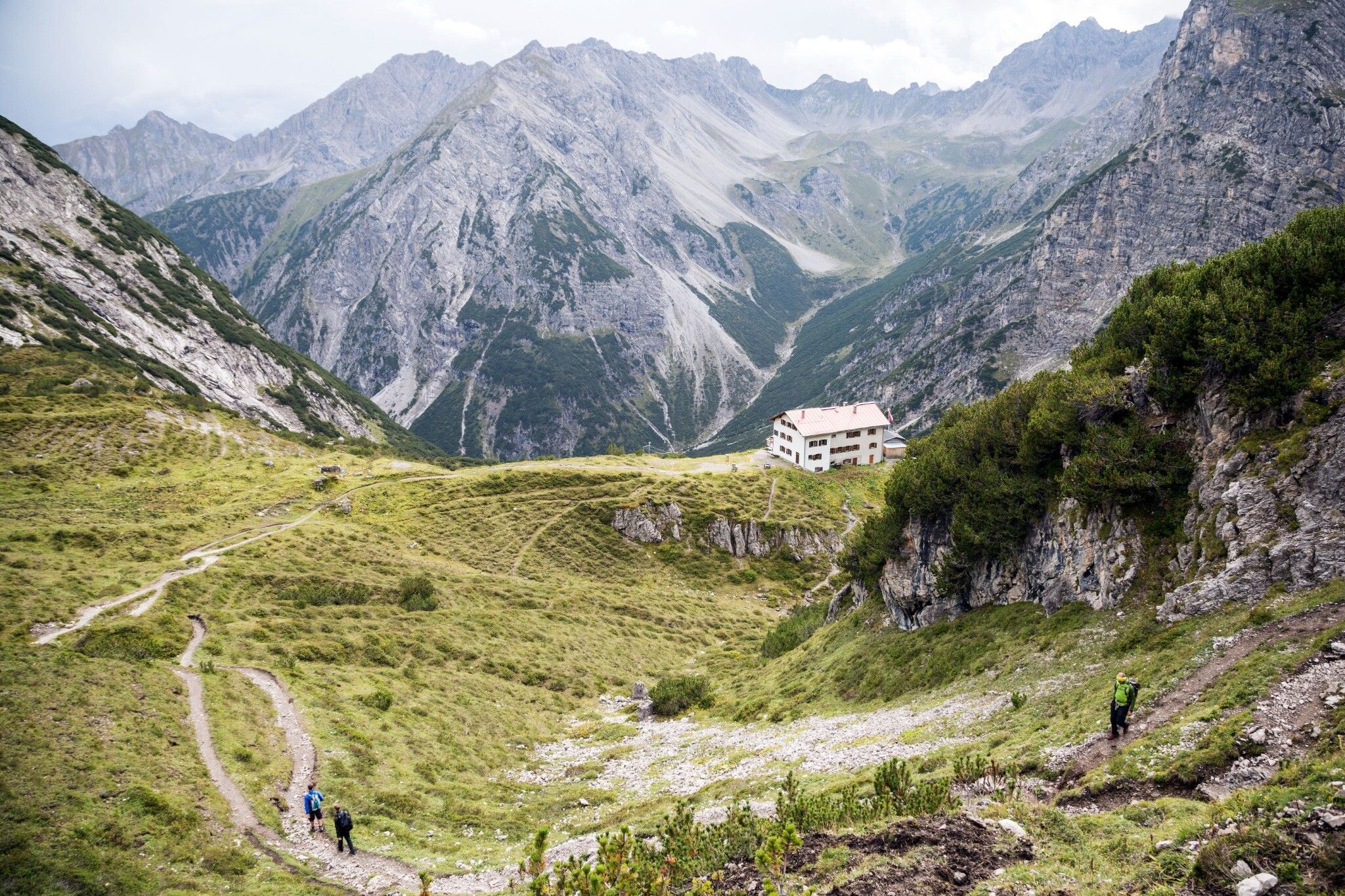
Goetheweg Trail above Innsbruck, © Tirol Werbung/Hans Herbig
Goetheweg Trail above Innsbruck
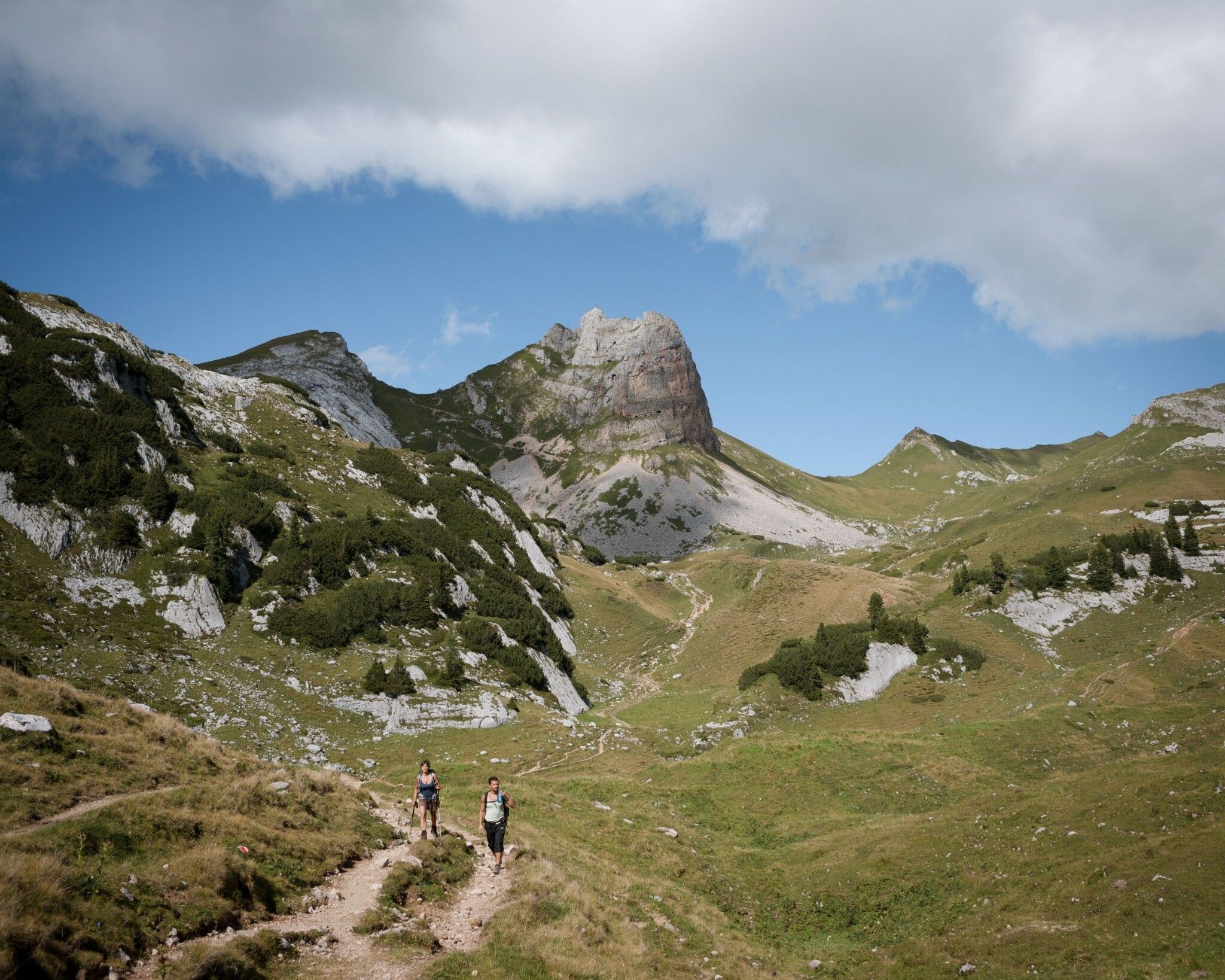
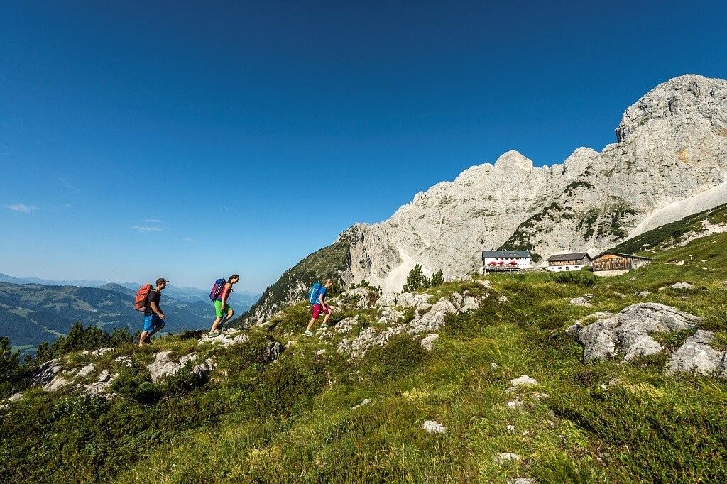
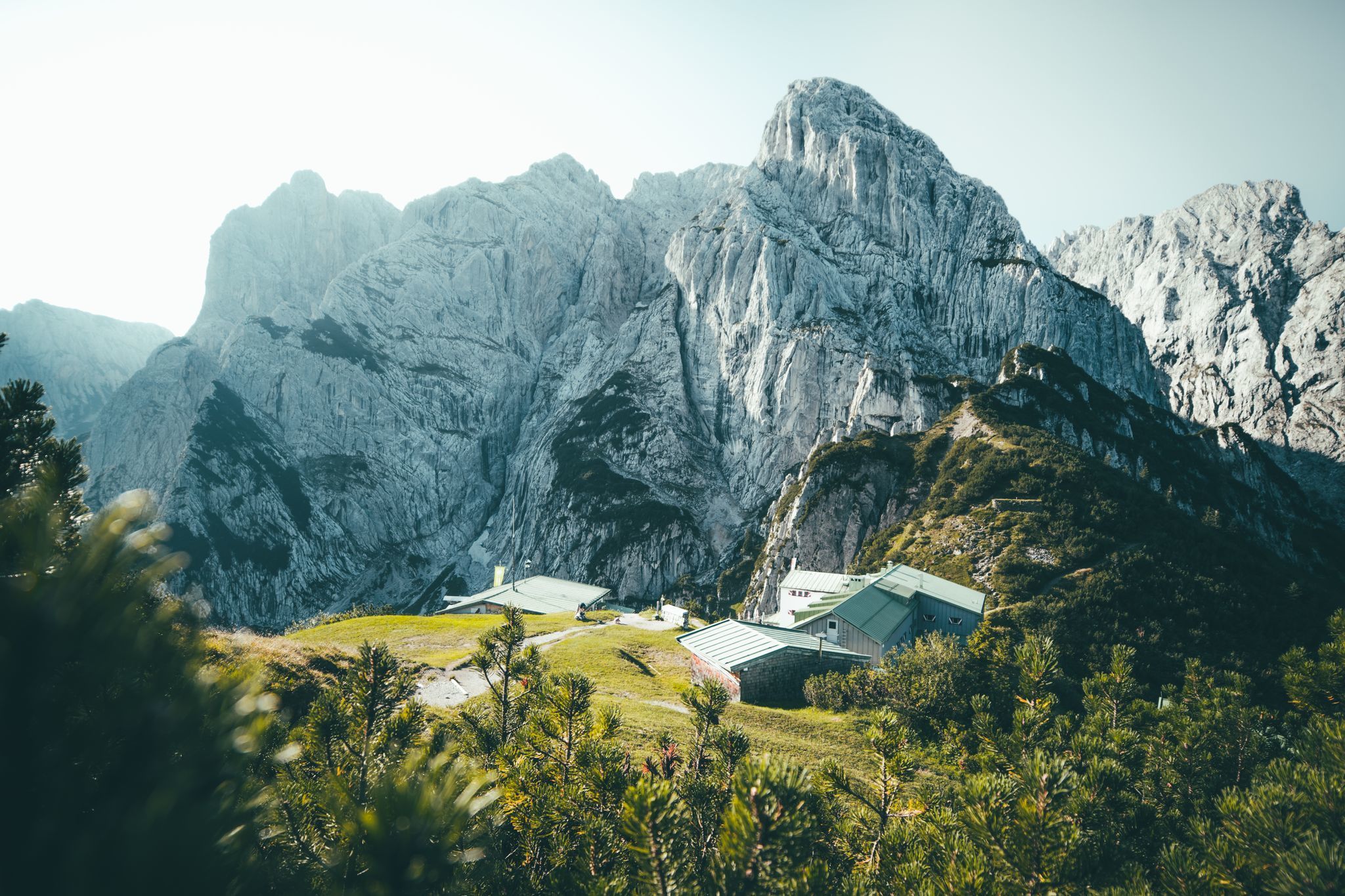
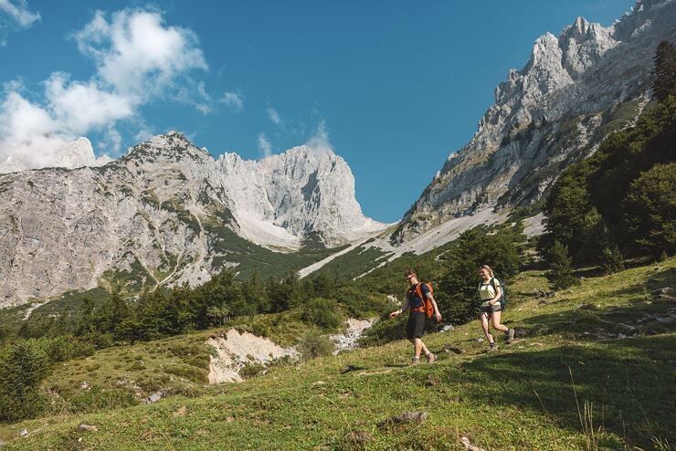
Eagle Walk at Wilder Kaiser Mountains, © Tirol Werbung/Jens Schwarz
Eagle Walk at Wilder Kaiser Mountains
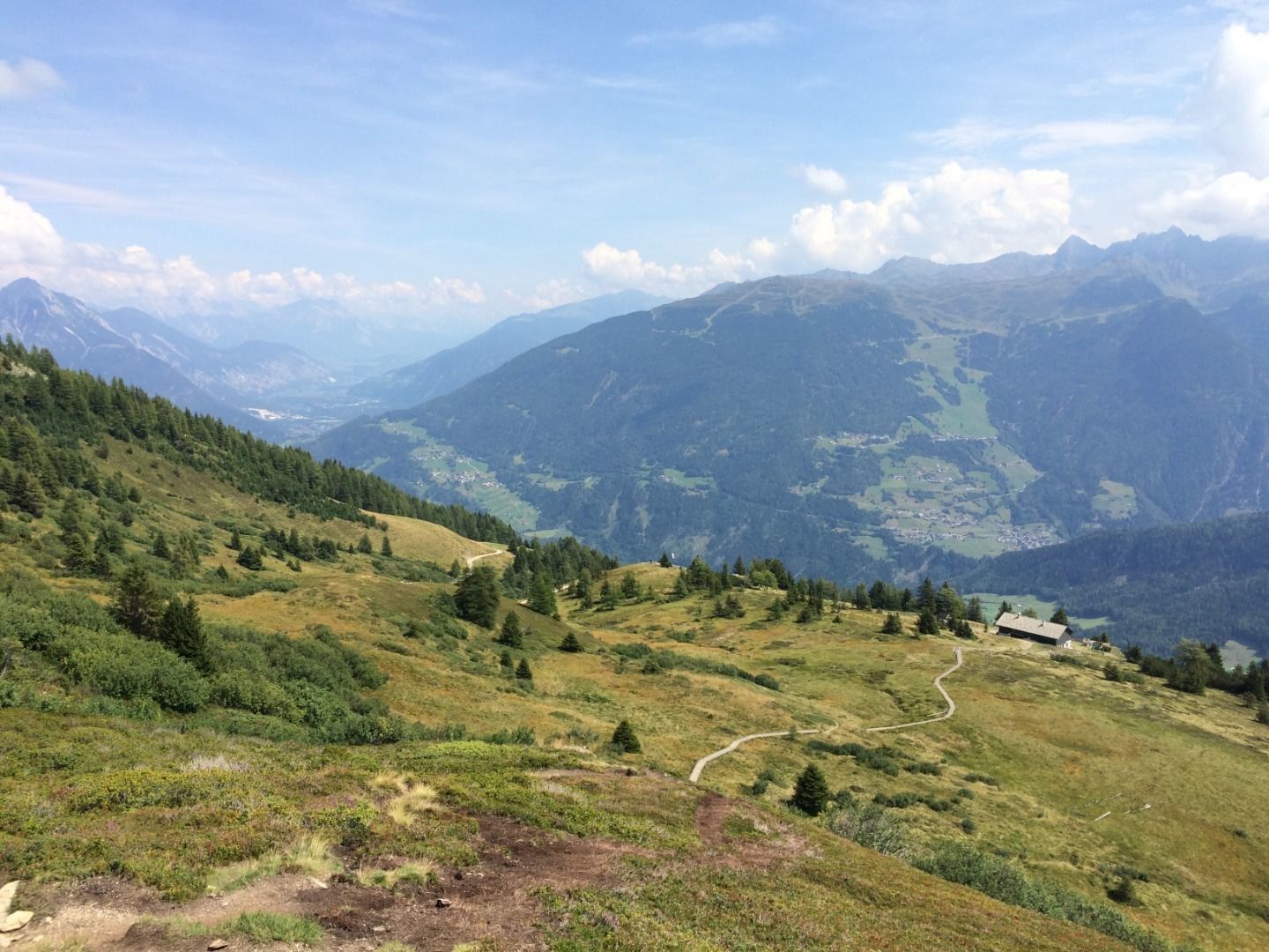
Zirbenweg Trail, © Tirol Werbung/Markus Jenewein
Zirbenweg Trail

Tux Alps

This one-day stage of the Eagle Walk leads along the Zirbenweg Trail into the Tux Alps.
 

1 day | 8 km | 300 vertical metres | red (intermediate) trails

Start: Innsbruck train station, Igls Patscherkofelbahn bus stop

Finish: Igls bus stop

Wetterstein Mountains & Lechtal Alps

These stages of the Eagle Walk lead through the Leutaschtal Valley and the Gaistal Valley into the Wetterstein Mountains and then on into the Lechtal Alps.


WETTERSTEIN MOUNTAINS & LECHTAL ALPS (east)
4 days | 61 km | 3,170 vertical metres | red (intermediate) trails

Start: Gießenbach train station

Finish: Pfafflar bus station | Imst train station


LECHTAL ALPS (west)
6 days | 64 km | 4,960 vertical metres | black (expert) trails

Start: Imst train station, Pfafflar bus station

Finish: St. Christoph am Arlberg bus station, St. Anton am Arlberg train station

Hiking Tour from Hanauerhütte Hut to Württemberger Haus Hut, © Tirol Werbung/Dominik Gigler
Hiking Tour from Hanauerhütte Hut to Württemberger Haus Hut
Hiking Tour from Kalser Tauernhaus to Stüdlhütte Hut on foot of Großglockner Mountain, © Tirol Werbung/Frank Bauer
Hiking Tour from Kalser Tauernhaus to Stüdlhütte Hut on foot of Großglockner Mountain

Hohe Tauern Mountains

These nine stages of the Eagle Walk lead through East Tirol, from the foot of the mighty Großvenediger almost 100 km to the foot of the Großglockner, the highest mountain in Austria.


HOHE TAUERN MOUNTAINS (west)
5 days | 54 km | 4,300 vertical metres | black (expert) trails


Start: Lienz train station | Prägraten a. Großvenediger bus stop

Finish: Matrei in Osttirol, Tauernhaus bus station, Lienz train station


HOHE TAUERN MOUNTAINS (east)
4 days | 41 km | 3,450 vertical metres | black (expert) trails


Start: Lienz train station | Prägraten a. Großvenediger bus stop

Finish: Kals am Großglockner bus stop, Lienz train station


Download

This may also interest you

Top Tips for Long-Distance Hikes in Tirol

How did you like this article?

Want to receive an answer? If so, please get in touch using the contact form.

Go up

Is your inbox in need of a holiday?

Then subscribe to our weekly newsletter full of exclusive holiday tips from Tirol!